
Rough and Ready Botanical Wayside | Oregon
Rough and Ready Flat has been a popular wildflower observation area for decades where the evolution of new plant species (hybrids) is occurring. The impetus to protect the area began in 1937 with the Illinois Valley Garden Club. In 1994, a total of 1164 acres of BLM land surrounding Rough and Ready Creek were designated an Area of Critical Environmental Concern (ACEC) to protect botanical, wildlife/fisheries, hydrologic systems and other natural systems or processes.
Know Before You Go:
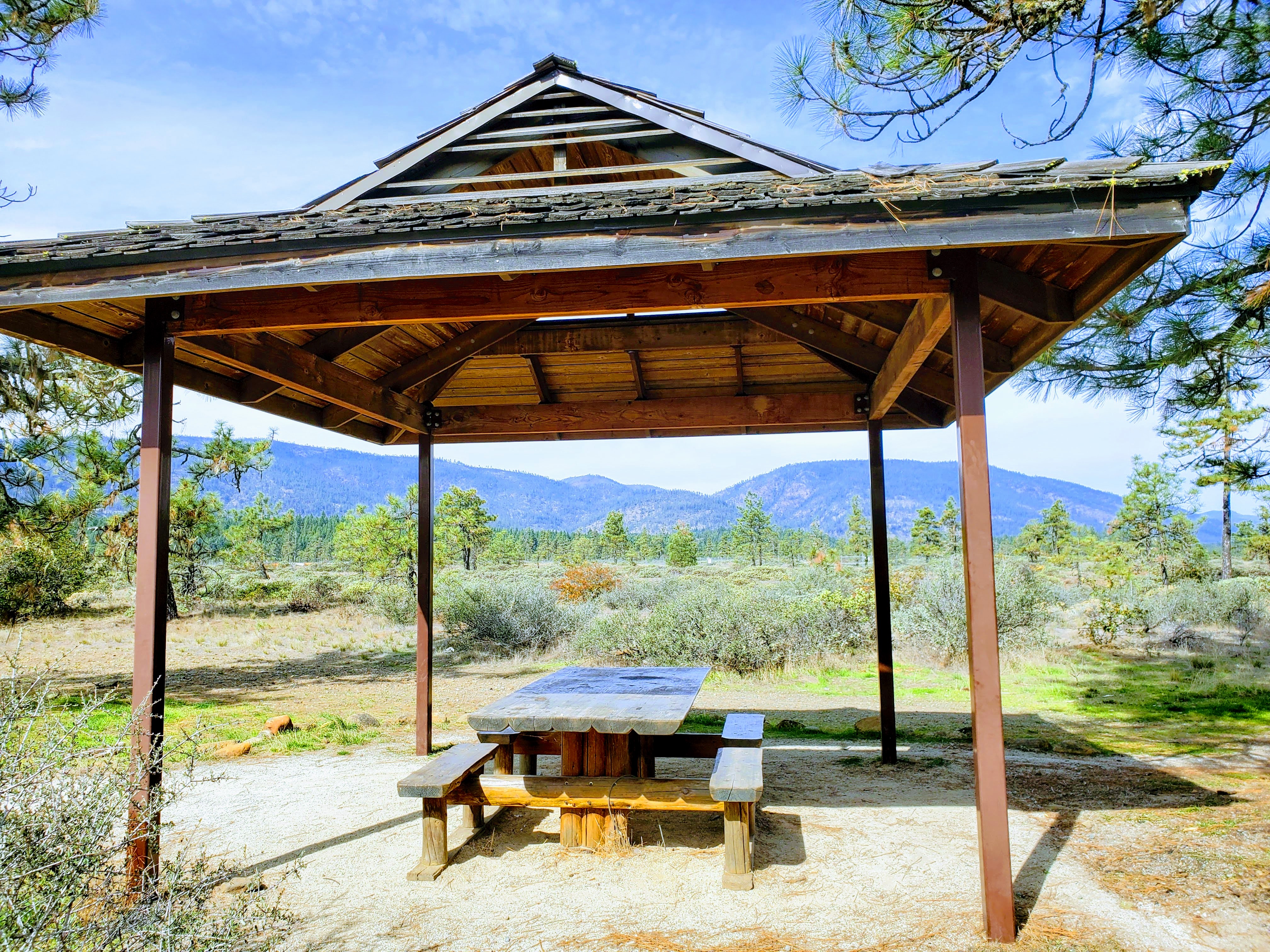
- A 0.3 mile long interpretive trail originates at the parking area and picnic shelter. Another picnic table is located near the trail’s end.
- Activities here include: wildflower viewing, picnicking, hiking, nature study, and educational visits. The trail passes through an area protected for its special status plants and Serpentine ecosystem.
- Please stay on the main trail to avoid erosion and disturbing sensitive vegetation.
- No drinking water is available.
- The area is open for day-use only from sunrise to sunset. Hours vary depending on season.
Point of Interest:
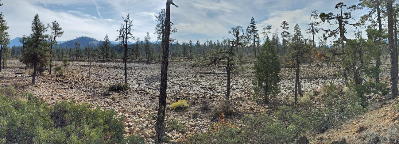
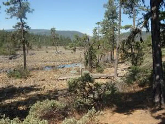
Rough and Ready Flat is located in a region which is recognized as one of 200 biologically outstanding ecoregions in the world. It harbors a multitude of rare or special status plants endemic to the serpentine soils of the Siskiyou Mountains.
Photos

Accessibility Description (ABA/ADA)
View images of accessibility features in a new window.
Cell phone reception is good at this site.
The paved parking lot at the trailhead has room for 12 vehicles, with 2 designated accessible parking spaces that have access aisles for vans. These 2 parking spaces are next to the trail entrance and an accessible porta potty.
A partially shaded kiosk with site and safety information sits in a grassy, rocky area near the start of the compacted decomposed granite trail. At the trail entrance is a picnic shelter covering a wooden picnic table with recessed legs to accommodate wheelchair users. The table has cut-outs in the benches on either side, but these are likely not wide enough for mobility device users.
Across from the picnic shelter is another shaded kiosk with a welcome sign and map of the trail, pet-waste bags, and a receptacle for used bags.
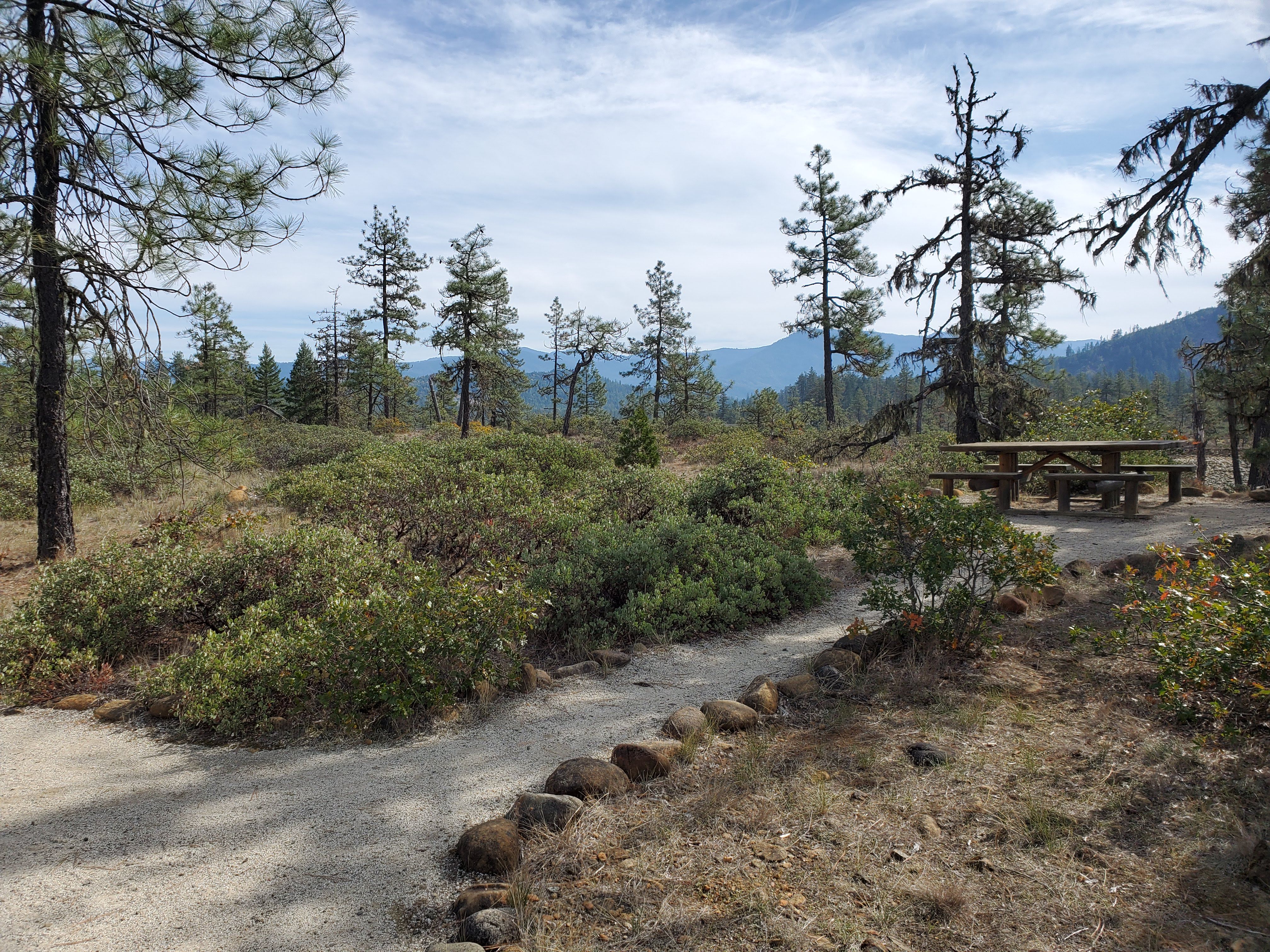
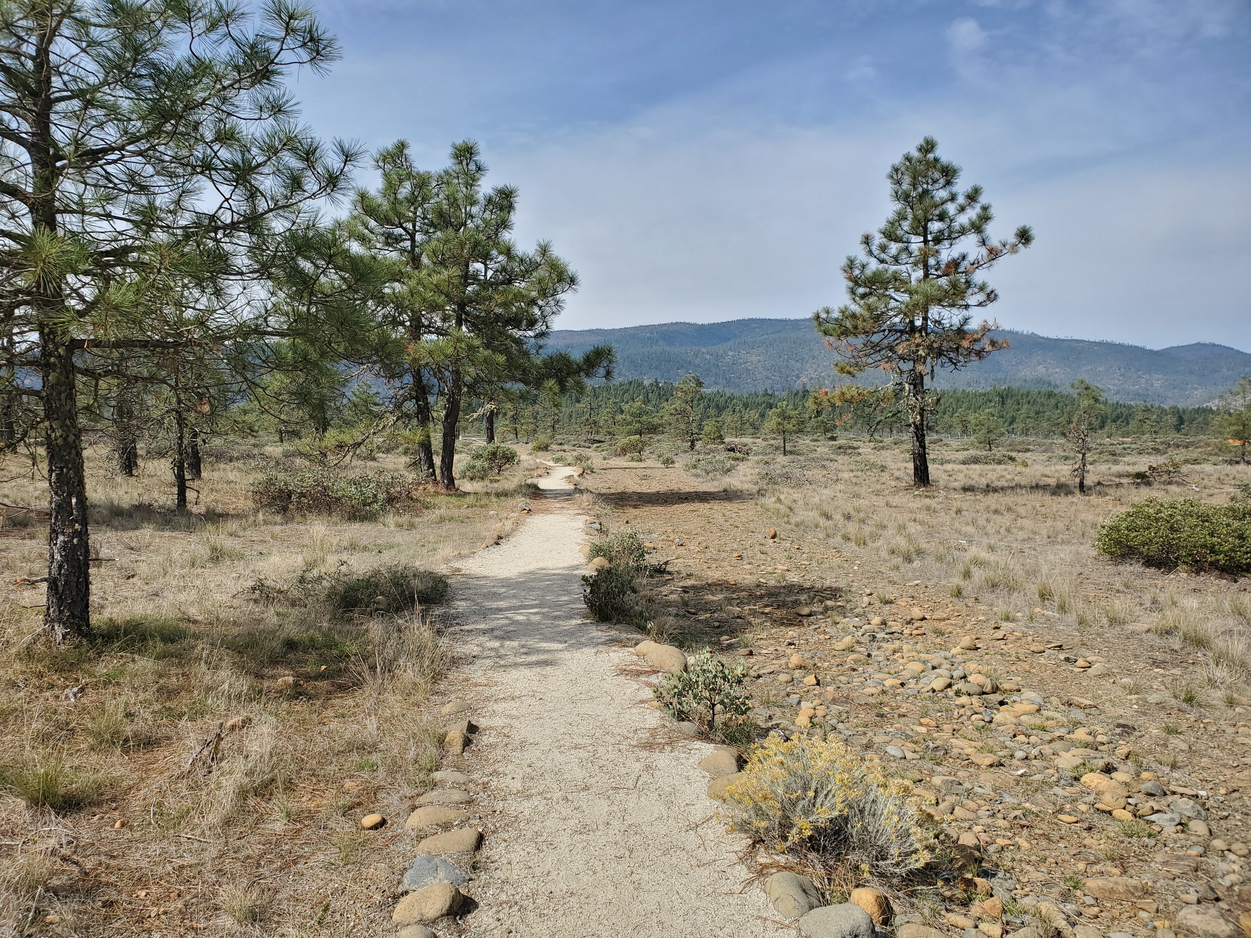
It is 0.3 miles from the start of trail to the overlook with a view of Rough and Ready Creek. The trail, which is 5-6 feet wide, is generally flat. A few areas of soft, loose surface material, especially in rainy weather, may pose a challenge for people in wheelchairs. Sloped sections, with a grade of less than 5 percent, are infrequent.
Along the trail are angled interpretive signs with details about plants and geological features of the area. There are also several benches with arms that were hand-crafted by a local artist. The benches sit on wood planks, so they are not flush with the trail surface.
A second, unsheltered picnic table with recessed legs and narrow cut-outs sits at the overlook, which is at the end of a spur off the main trail.
Descriptions and photos uploaded May 2026. Please note that actual on-the-ground conditions may vary due to natural events (e.g., weather, wildfires, erosion), normal wear and tear, or site improvements.
Contact Us

Activities


Addresses
Directions
From Grants Pass, Oregon: Drive south on Highway 199 and proceed past Cave Junction. Approximately 4.5 miles south of Cave Junction, turn right on to the Rough and Ready Wayside Parking Area (FS 4201), just off the highway. There are eight parking spaces at the wayside.
Fees
No fees.