
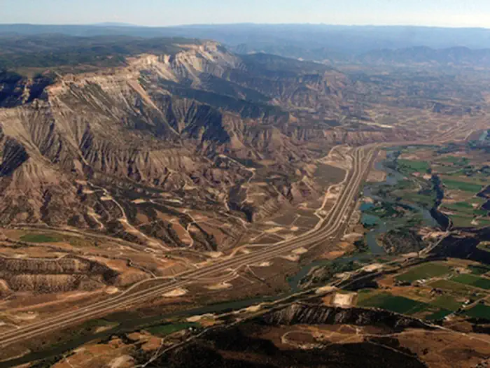
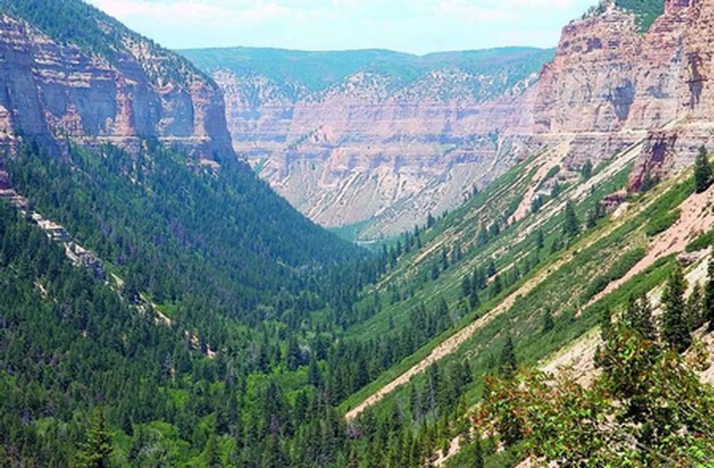
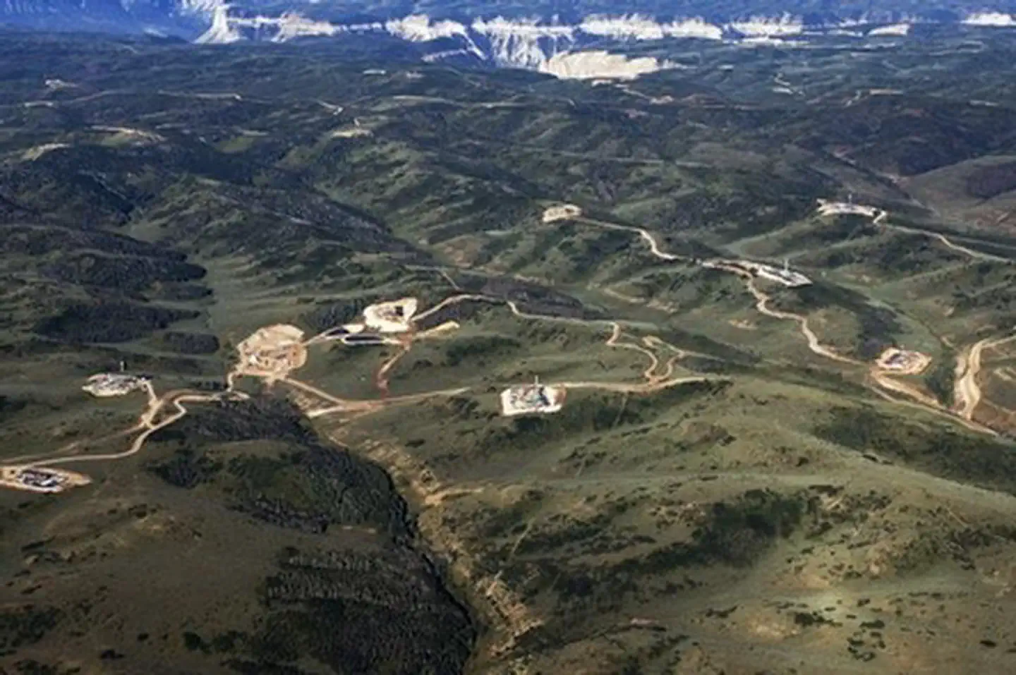
Roan Plateau - JQS Creek Cross | Colorado
The Roan Plateau overlooks the Colorado River Valley, and provides exceptional opportunities for recreation including hiking, hunting, motorized recreation, camping, and fishing. For more information, please contact the Colorado River Valley Field Office.
Photos

Contact Us

Activities


Addresses
Colorado River Valley Field Office
2300 River Frontage Road
Silt
Colorado
81652
Geographic Coordinates
39.57492, -107.81221
Directions
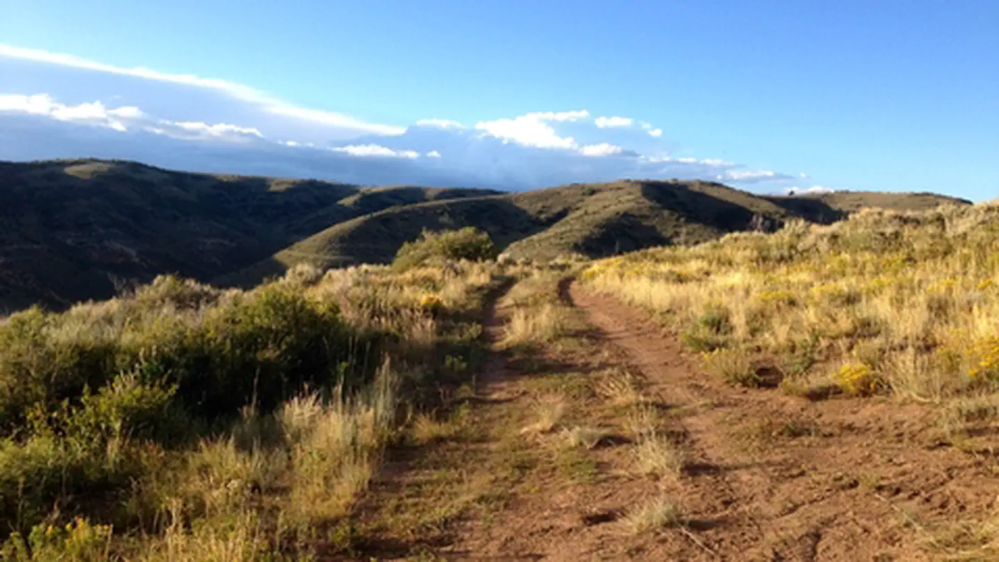
Cow Creek Gulch - From I-70 take exit 90 and go north. Take a left onto Highway 6 also known as Centennial Pkwy. Turn right on Truck Route Highway 13. Go 16.7 Miles and turn left onto County Road 5. Travel 3.9 Miles and turn left onto Cow Creek Gulch Road. Travel up Cow Creek to the top. JQS Trail - From I-70 take exit 90 and go north. Take a left onto Highway 6 also known as Centennial Pkwy. Turn right on Truck Route Highway 13. Turn left onto Fravert Reservoir Road (County Road 244). In about 2 miles the road forks: take the left fork and continue through the Hubbard Mesa Open Area for another 2.5 miles. The road will T into the JQS Trail (CR 242). Turn left to begin the climb up the Roan Plateau.
Fees
No Fee but OHV permit is required. Out of state visitors are required to retain a Non-resident OHV registration.