



Rimrocker Trailhead | Colorado
The Rimrocker Trail offers 160 miles of off‑pavement travel through diverse, scenic landscapes between Montrose, Colorado, and Moab, Utah. Its eastern half consists of wide, graded gravel roads suitable for most vehicles, including family sedans. It’s an excellent route for enjoying fall aspen colors and taking in expansive views from multiple overlooks.
Spanning 160 miles, the Rimrocker Trail provides four-wheel drive (4WD), off-highway vehicle (OHV), and bicycle access through some of the West’s most stunning scenery.
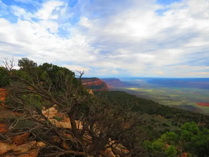
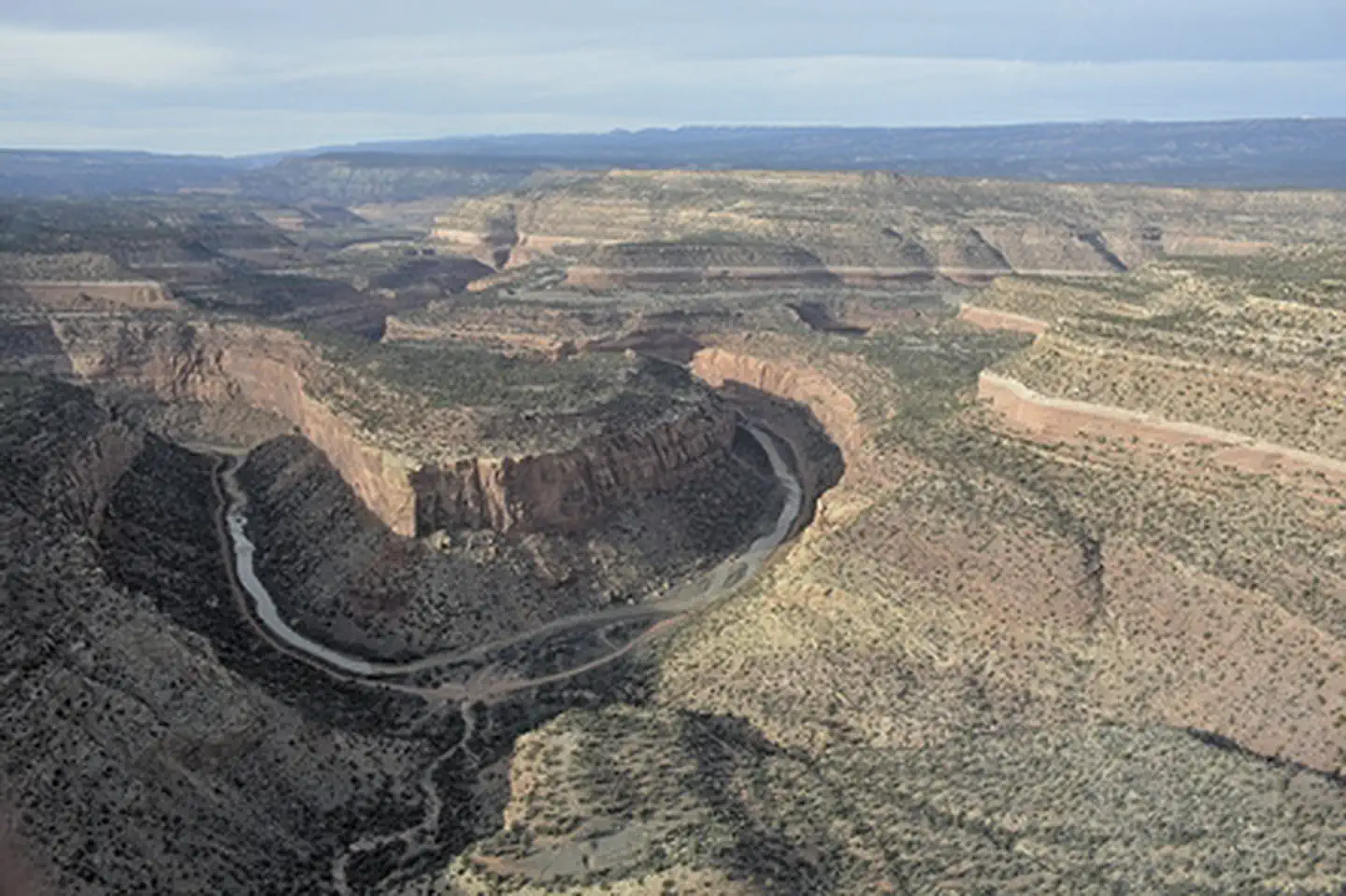
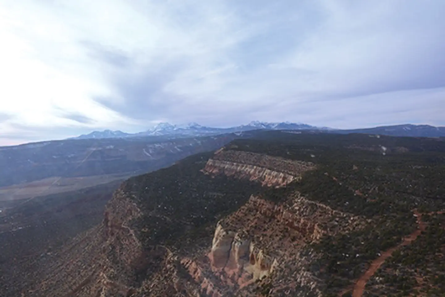
Visitors are immersed in natural beauty as the trail guides them through a landscape of redrock canyons, winding rivers, desert vistas and alpine forests. Whether you travel the whole route or just a portion, the experience will stay with you for a lifetime. The Rimrocker Trail is well signed for its entire length.
An excellent paper map is available from Montrose County Government, the Montrose Visitor Center, the Nucla‑Naturita Chamber of Commerce in Naturita, and several other locations.
The Rimrocker Trail is maintained by the Montrose County Government in Colorado. For the most current information on road conditions, closures, and other updates, please contact 970‑252‑4505, email pr@montrosecounty.net, or visit rimrockertrail.org.
Travel tips:
- The trail is well marked with signposts, though a GPS can be helpful in a few sections.
- Maps and an informational brochure are available at the visitor centers in Montrose and Naturita.
- The full trail typically opens by June, depending on snowpack.
- The best times to travel are early summer for wildflowers or fall for vibrant aspen colors.
- The route is suitable for stock, high‑clearance 4x4 vehicles equipped with good tires.
- OHV regulations vary by state.
Get more important travel information on the Rimrocker Trail website.
Photos
Contact Us

Activities


Addresses
Geographic Coordinates
Directions
From the intersection of the West Main Street and Townsend Avenue, travel SW on West Main Street which will turn into Colorado 90 for 7-1/2 miles until reaching the three way intersection with Shavano Valley Road to the north and 90 Road to the South. This intersection is the official start of the Rimrocker Trail. There is no parking lot or area to safely assemble a group at this intersections but if you proceed another half mile down the trail there are some dirt pull off areas that could be used.
Fees
No fee