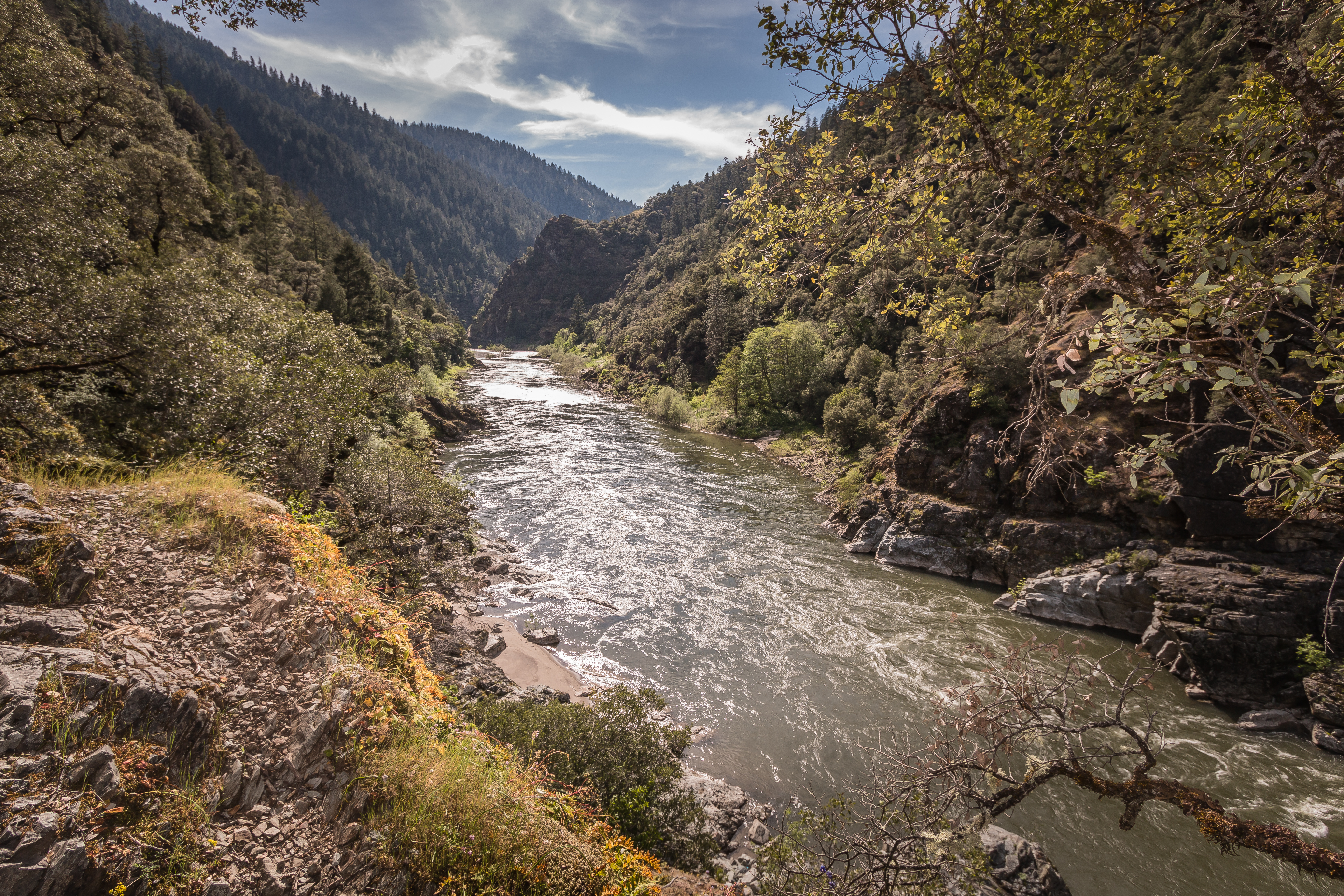
Rainie Falls Trail

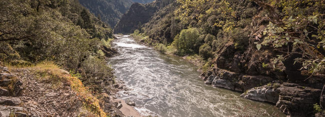
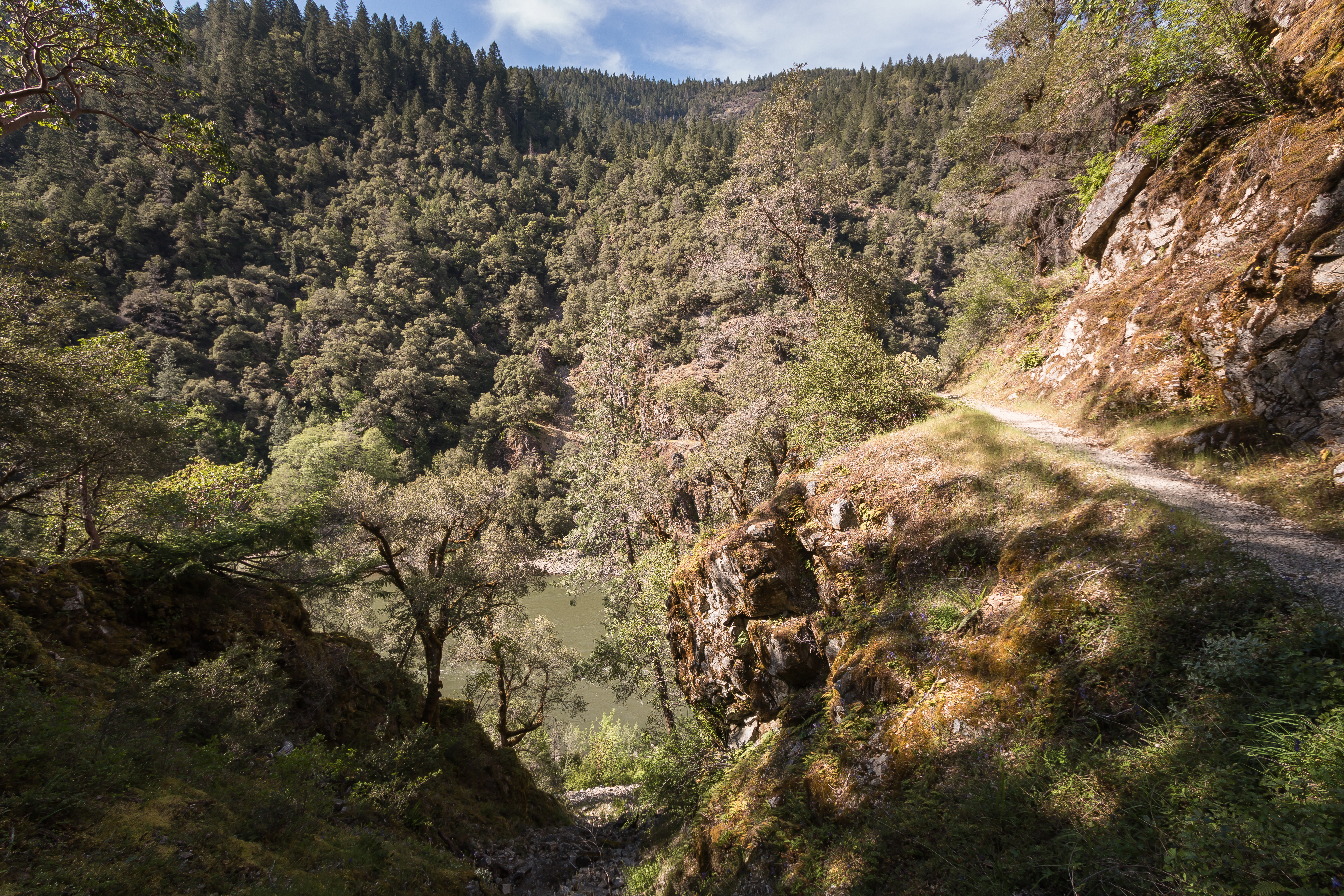
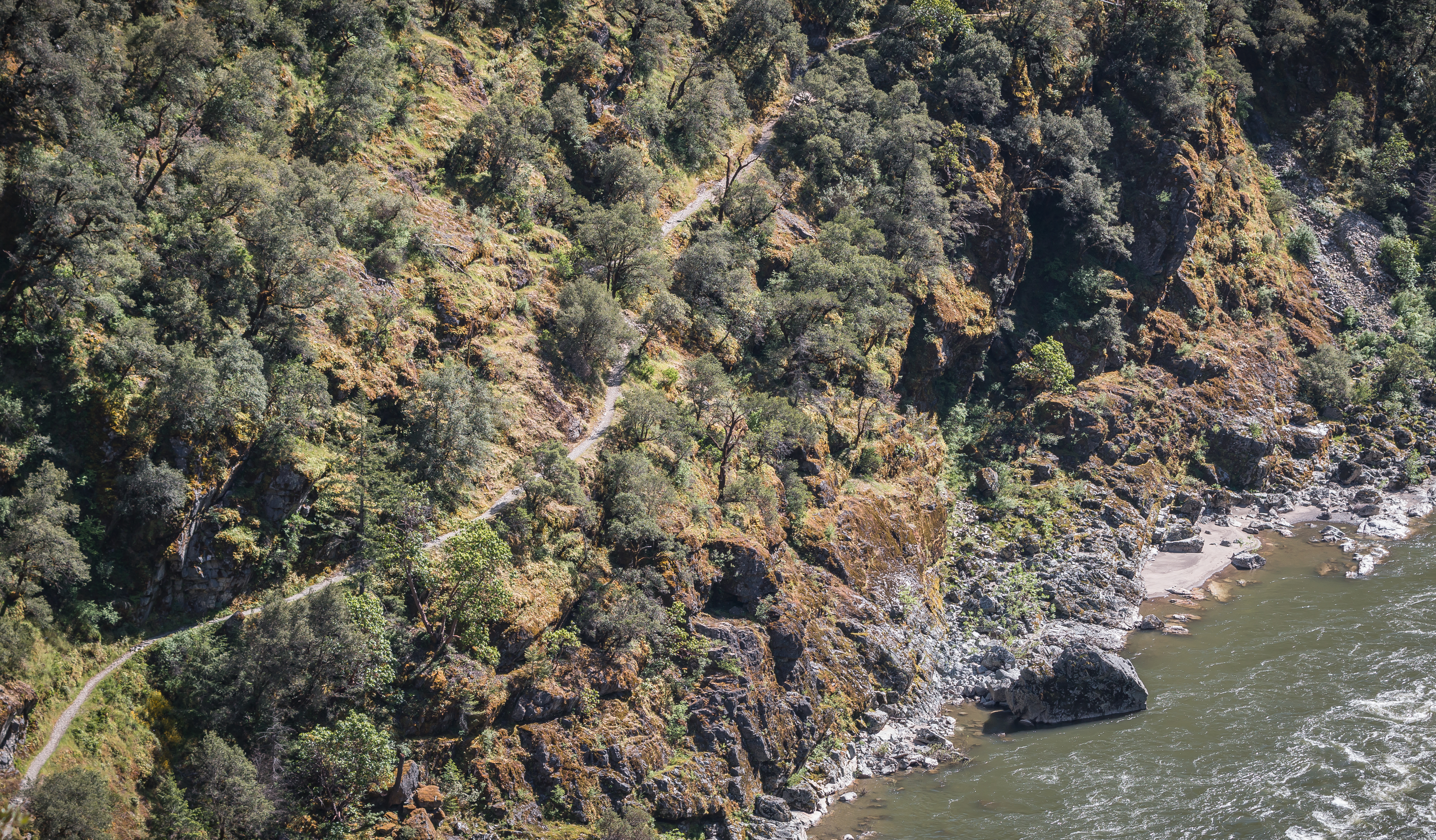
Take a hike down the 1.8-mile Rainie Falls trail following a portion of the mighty and wild section of the Rogue National Wild and Scenic River. Oaks, madrones and a variety of verdant vegetation line this path to the falls. This short trail is cut on the opposite -but generally shadier- side of the Rogue River where it's much longer cousin, the Rogue River National Recreation Trail traverses 40 miles from Grave Creek to Big Bend.

Know Before You Go:

  • Parking is available opposite the trailhead in the pullout across Galice Road.
  • No facilities are available at the trailhead or at Rainie Falls, but a vault toilet is located at the Grave Creek Boat Ramp, across the Grave Creek Bridge.

Point of Interest:

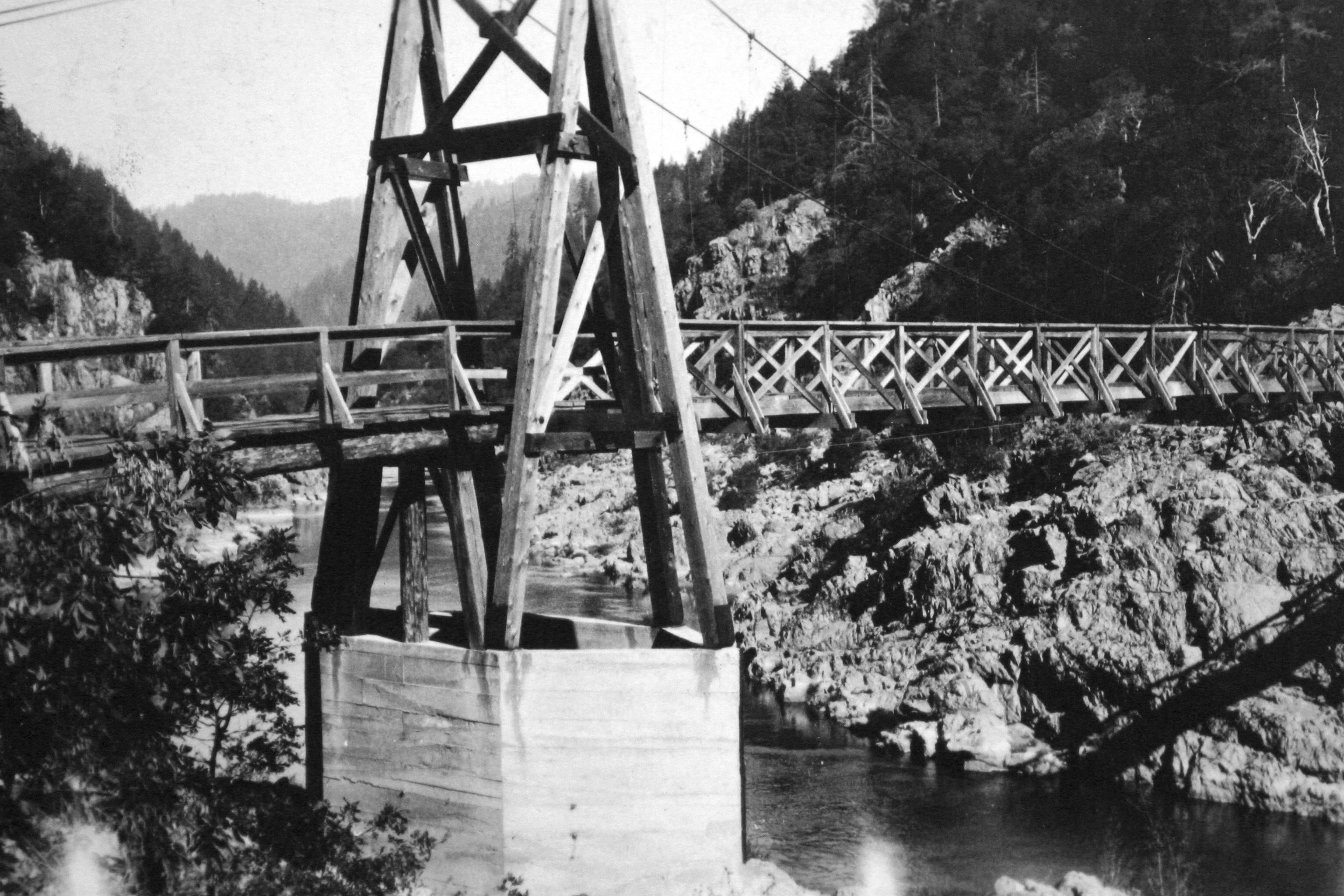
A little over a mile down the trail, look along the river side of the trail for remnants of a hexagonal suspension bridge abutment, built in 1908. The bridge washed out in 1927 and is evidence of the area's rich mining history.

Photos

The Rogue River & Rainie Falls Trail.
Bureau of Land Management
View of Rainie Falls Trail from above.
Bureau of Land Management
Sanderson's Bridge
Sanderson's Bridge
Bureau of Land Management
Trailside view of Rogue River, May 4, 2017.
Bureau of Land Management
The Rogue River & Rainie Falls Trail.
Bureau of Land Management
View of Rainie Falls Trail from above.
Bureau of Land Management
Sanderson's Bridge
Sanderson's Bridge
Bureau of Land Management
Trailside view of Rogue River, May 4, 2017.
Bureau of Land Management
The Rogue River & Rainie Falls Trail.
Bureau of Land Management
View of Rainie Falls Trail from above.
Bureau of Land Management
Sanderson's Bridge
Sanderson's Bridge
Bureau of Land Management
Trailside view of Rogue River, May 4, 2017.
Bureau of Land Management
The Rogue River & Rainie Falls Trail.
Bureau of Land Management
View of Rainie Falls Trail from above.
Bureau of Land Management
Sanderson's Bridge
Sanderson's Bridge
Bureau of Land Management
Trailside view of Rogue River, May 4, 2017.
Bureau of Land Management

Adventure is at Your Fingertips

Phone

Activities

Iconograph of a fish head and a fishing hook on a line
FISHING
Iconograph of two people wearing backpacks and using walking sticks
HIKING
Iconograph of binoculars
WILDLIFE VIEWING
Iconograph of a camera
PHOTOGRAPHY

Addresses

Grants Pass Interagency Office
2164 NE Spalding Avenue
Grants Pass
Oregon
97526

Geographic Coordinates

42.648636, -123.585537

Directions

From Grants Pass, Oregon: Take I-5 north to exit 61, Merlin exit. Turn left and continue northwest on the Merlin-Galice Road for 23 miles.

Fees

No Fees.

Stay Limit

Day-Use Area