
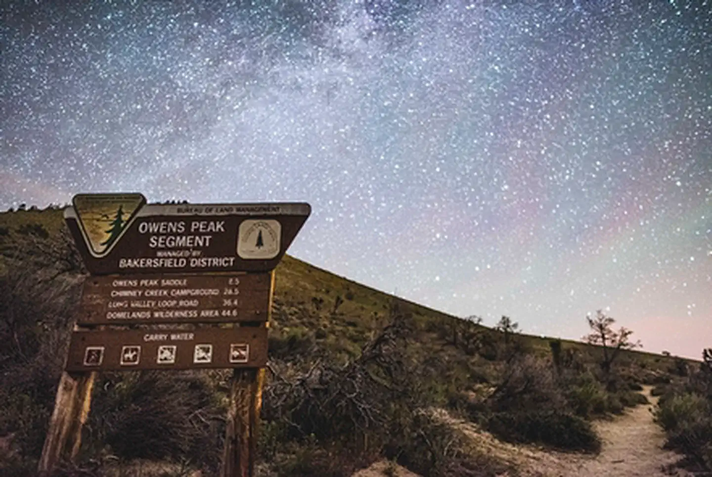
Pacific Crest- Owens Peak Segment | California
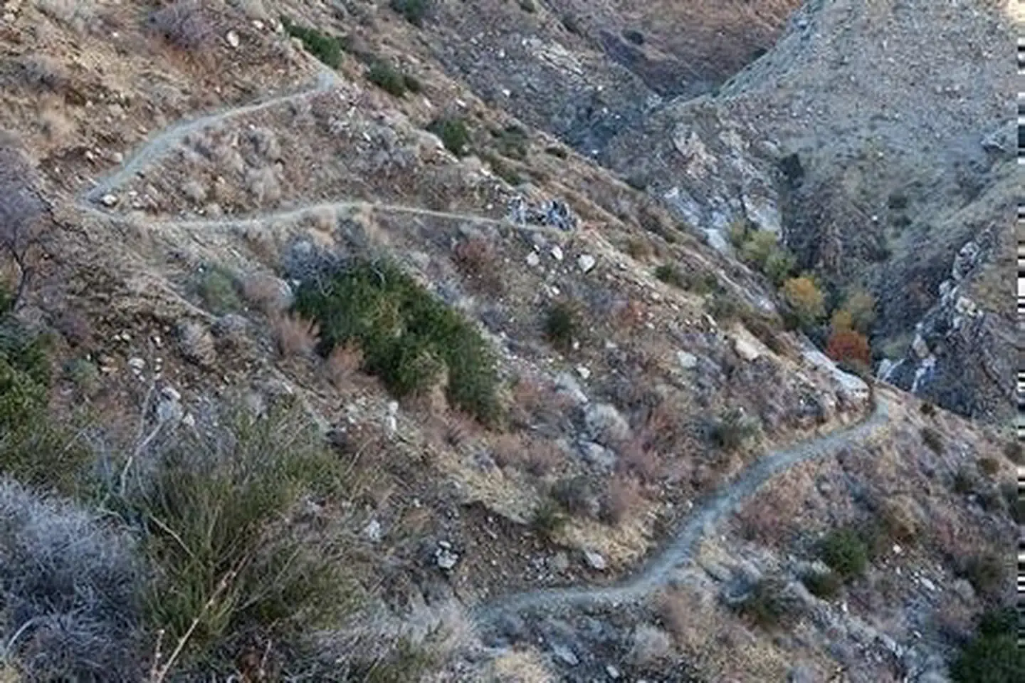
The Pacific Crest National Scenic Trail (PCNST or PCT for short) is a continuous hiking and equestrian route extending 2,600 miles from Canada to Mexico. It passes through 23 national forests (including several wilderness areas), 7 national parks, other Federal lands, and numerous portions of State, local, tribal, and private lands. It was established as part of the national system of recreational and scenic trails under the National Trails System Act of 1968. Elevations along the trail range from 500 feet near Whitewater to just below 13,200 feet near Mount Whitney in the Sierra Nevada. Open to nonmechanized use only, the trail is a popular journey for backpackers. In southern California, winter and spring are generally the best times to travel, when daytime temperatures remain below 80 degrees Fahrenheit, spring rains bring out the wildflowers, and splashes of green accent the oak-chaparral foothills. Trailheads can be accessed at the top of Walker Pass on State Highway 178, at Bird Springs Pass off of designated route SC120 within the Jawbone-Butterbredt ACEC, and at the Chimney Creek Campground on the eastern side of the Chimney Peak Wilderness. The Owens Peak Segment begins at Walker Pass in Kern County, and extends 41 miles north to the Sequoia National Forest at Rockhouse Basin within the Domelands Wilderness. Elevations range from 5,245 feet at Walker Pass to 7,900 feet on Bear Mountain. The trail offers spectacular views of the surrounding mountains and valleys.
Photos
Contact Us

Activities


Addresses
Bureau of Land Management
Bakersfield Field Office
3801 Pegasus Drive
Bakersfield
California
93308
Directions
The Owens Peak Segment of the Pacific Crest National Scenic Trail is best accessed at the Walker Pass Trailhead and Campground. Follow highway CA-178 approximately 9 miles west from the junction of CA-14 or 35 miles east of the town of Lake Isabella. Walker Pass Campground is just west of Walker Pass. From the campground, follow the PCNST northbound into Owens Peak Wilderness. This segment can be also accessed via Canebrake Road 0.2 miles south of Chimney Creek Campground.