


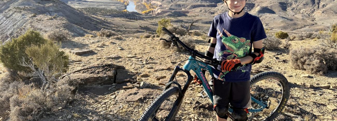
Mack Ridge - Kokopelli Trails | Colorado
Kokopelli Loop Trails Mountain Bike Area is a premier trail network where riders of all levels enjoy single‑track terrain, flowy turns, and stunning canyon vistas. The extensive trail network ranges from training loops like Rustler’s to challenging terrain like Mack Ridge.
The trail network is part of the McInnis Canyons National Conservation Area, which is rich in paleontological, cultural, and geological resources, as well as both motorized and non-motorized recreational opportunities. The loop trails are located at the eastern end of the Kokopelli Long-Distance Bike Trail, a renowned 140-mile route from Loma, CO to Moab, Utah.
Hours and Seasons
Open year‑round. Please do not ride on muddy trails. Riding on wet trails can damage the trail surface and cause erosion.
Features and Services
- Access and Parking: The trails are reached via trailheads on Kokopelli Trail Road (also called Hawkeye Road), which runs parallel to I-70. There are three primary trailheads: Kokopelli Loop Trails, Lion’s Loop / Mack Ridge, and Hawkeye. Kokopelli Trail Road is gravel and typically well maintained. There are no vehicle size restrictions and trailers are allowed at the three primary trailheads. Please ensure oversized vehicles are responsibly parked.
- Cell Service: Service tends to be moderate but be prepared for mixed coverage.
- Toilets: Accessible pit toilets are available at the Kokopelli Loop Trails trailhead.
- Drinking Water: None.
- Pets: Pets are allowed. Please keep dogs on leash and clean up after them.
- Camping: The Kokopelli Loop Trails area is day‑use only.
Respect and Protect
Historic and cultural sites are protected by law – please do not disturb or remove historical or cultural objects or structures. By practicing responsible outdoor ethics, you help ensure future visitors can enjoy this remarkable site.
Accessibility Description (ABA/ADA)
The area features narrow, rocky single‑track trails with some steep and technical sections. The trail system would generally not be considered wheelchair accessible.
The three primary trailhead parking lots are packed gravel. The Kokopelli Loop Trails trailhead has a double-vault toilet that is wheelchair accessible and is connected by a paved route to two designated paved parking spaces.
Contact Us

Activities


Directions
The three main trailheads for the Kokopelli Loop Trails can be accessed from the Interstate 70 Loma (Exit 15) and Mack (Exit 11) exits.
To reach the main Kokopelli Loop Trails trailhead, take I-70 to the Loma exit (Exit 15). On the south side of the highway, drive west on the frontage road, called Kokopelli Trail Road or Hawkeye Road depending on the map. After 1,000 feet, bear left before the Port of Entry Station and proceed ~1/3 of a mile to the trailhead.
Hawkeye and Lion’s - Mack Ridge trailheads are most easily accessed from I-70 Mack exit (Exit 11) but can also be accessed via the frontage road.
External Map
Fees
No fees