
Lower Spring Creek Trail | Colorado
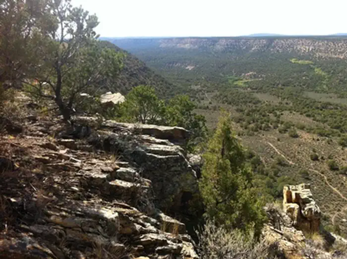
The Lower Spring Creek Trail is an 8-mile long, motorized single-track trail that branches from the Upper Spring Creek Trail about 2 miles west of the South Dave Wood Road Trailhead at the Forest Service boundary. Initially the route begins on a two track, then follows an ATV trail that goes out to the rim of Spring Creek. The Lower Spring Creek Trail begins at the bottom of a big descent. The trail heads down canyon through a thick canopy of Pinyon and Juniper trees. Much of the trail is rocky and technical – lots of fun. There is a hike-a-bike at the north end near the lower trailhead just off of Dave Wood Road. It can be done as an out and back from the north trailhead, but many riders shuttle the South Dave Wood Road section. For more information, please contact the Uncompahgre Field Office.
Photos
Contact Us

Activities
Addresses
Directions
Park at the lower (northern) trailhead and climb up Dave Wood Rd. Ride about 7 miles south, and at the Forest Service boundary, take a right on the Spring Creek Rim Road. After about a mile, branching right off the road will be the Spring Creek trail.
Fees
Contact the field office for more information about fees and permits.