Klamath Hills Recreation Area

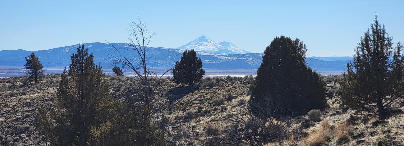
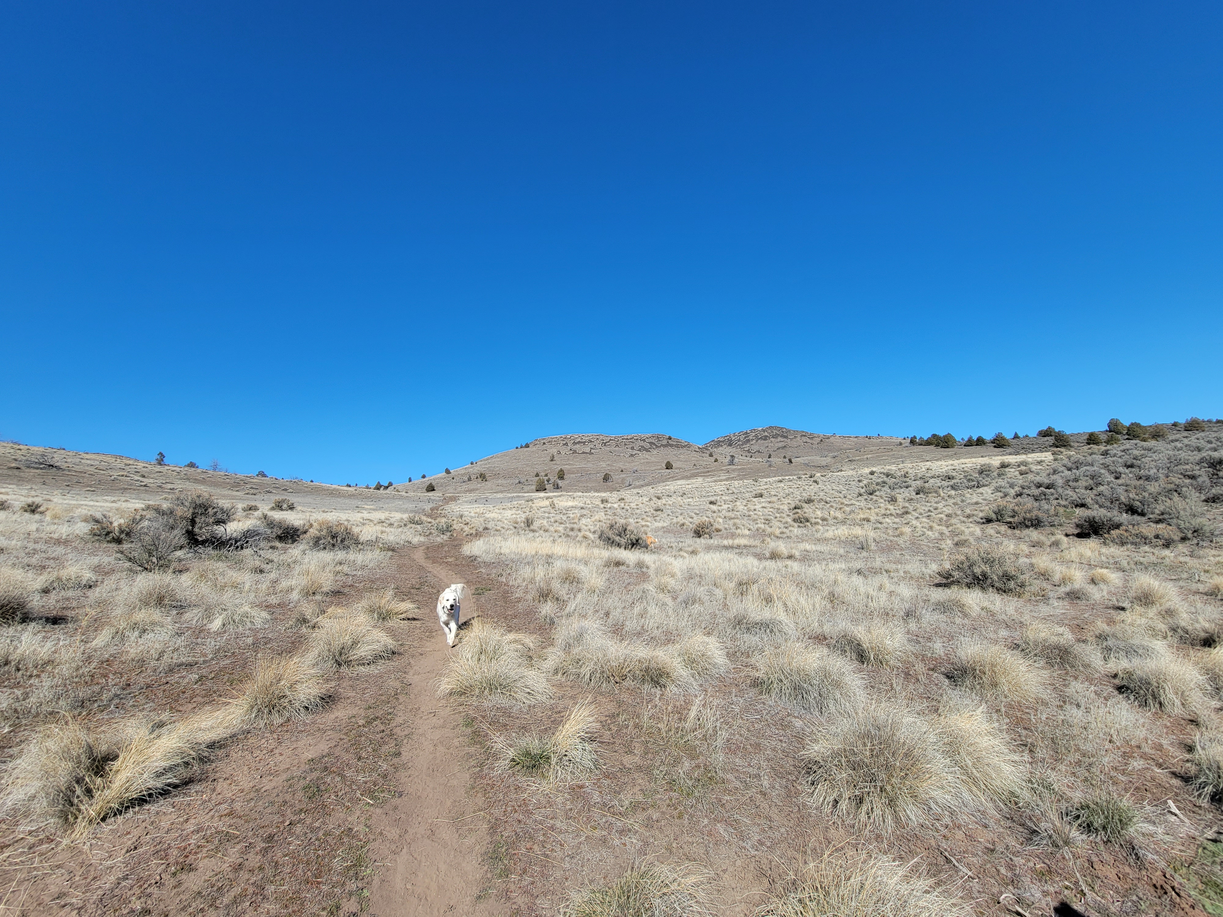
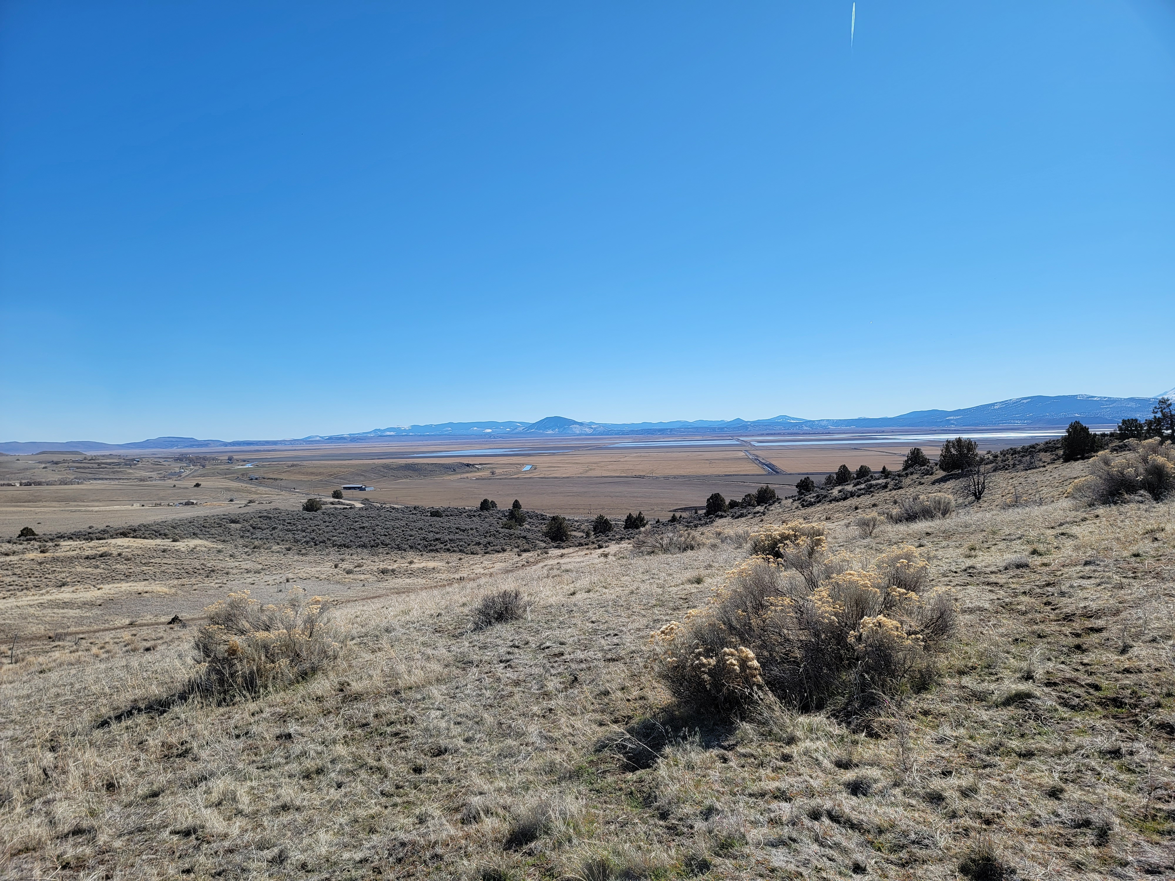
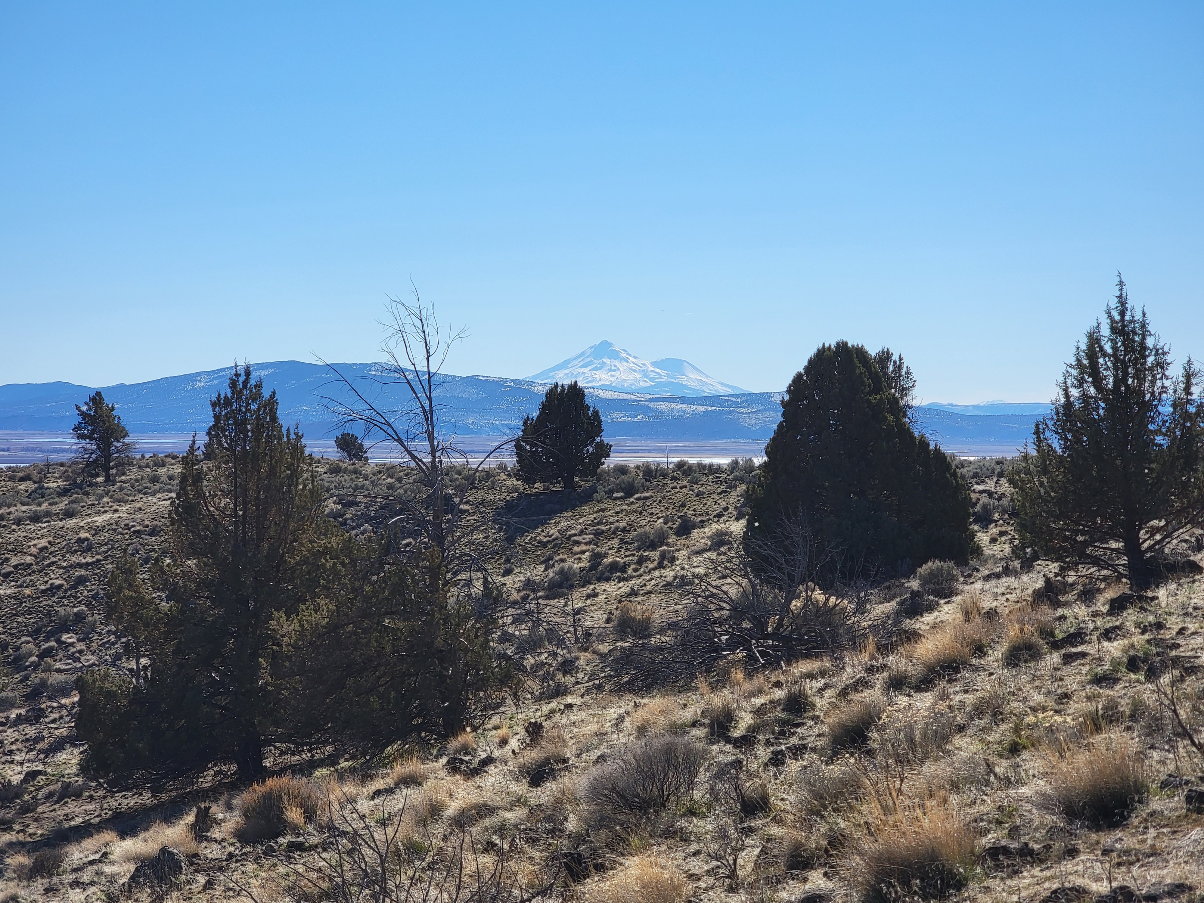
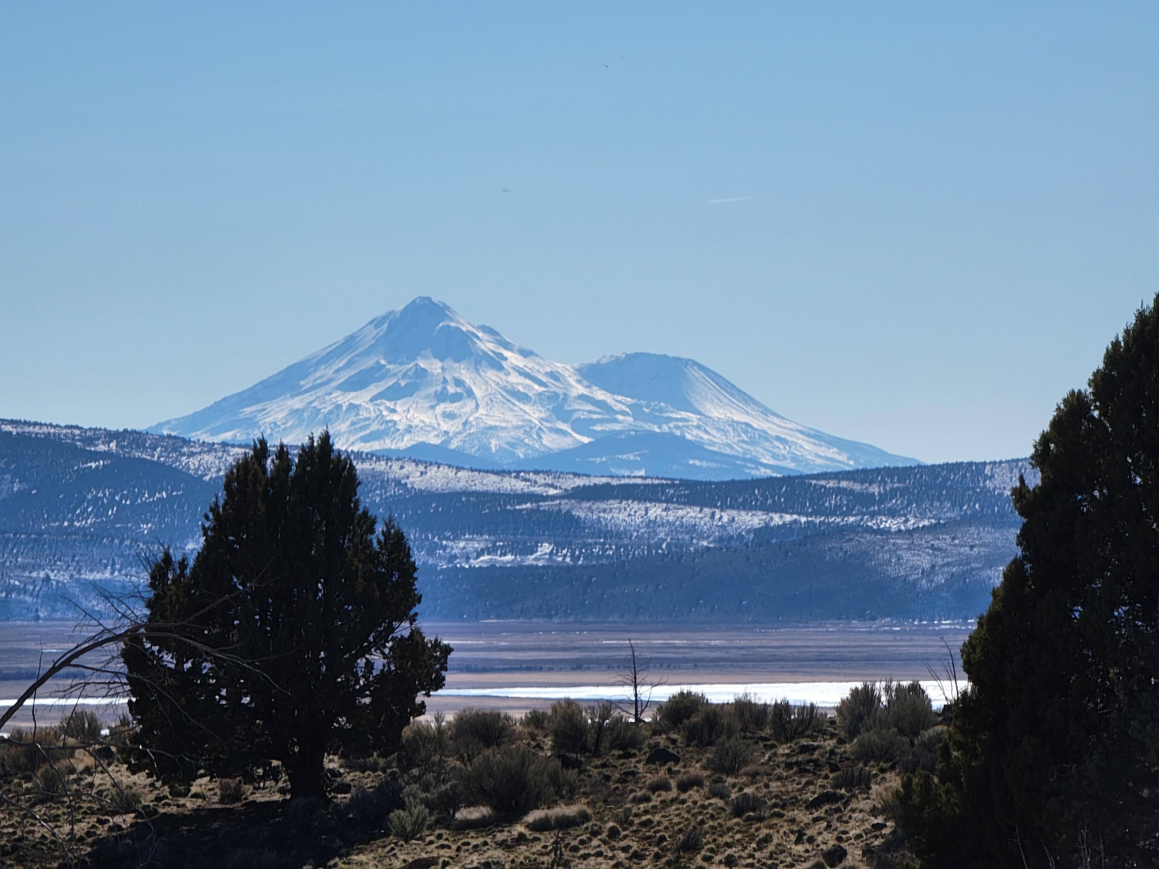
Klamath Hills Recreation Area is a unique and peaceful trail just outside of Klamath Falls for viewing birds, including eagles, quail and chukars, and various wildlife species, including mule deer, pronghorn antelope, squirrels, jackrabbits, and coyotes. The open, mountain big sagebrush habitat is intermixed with western juniper and provides scenic views of Mount Shasta further up the trail.

Know Before You Go:

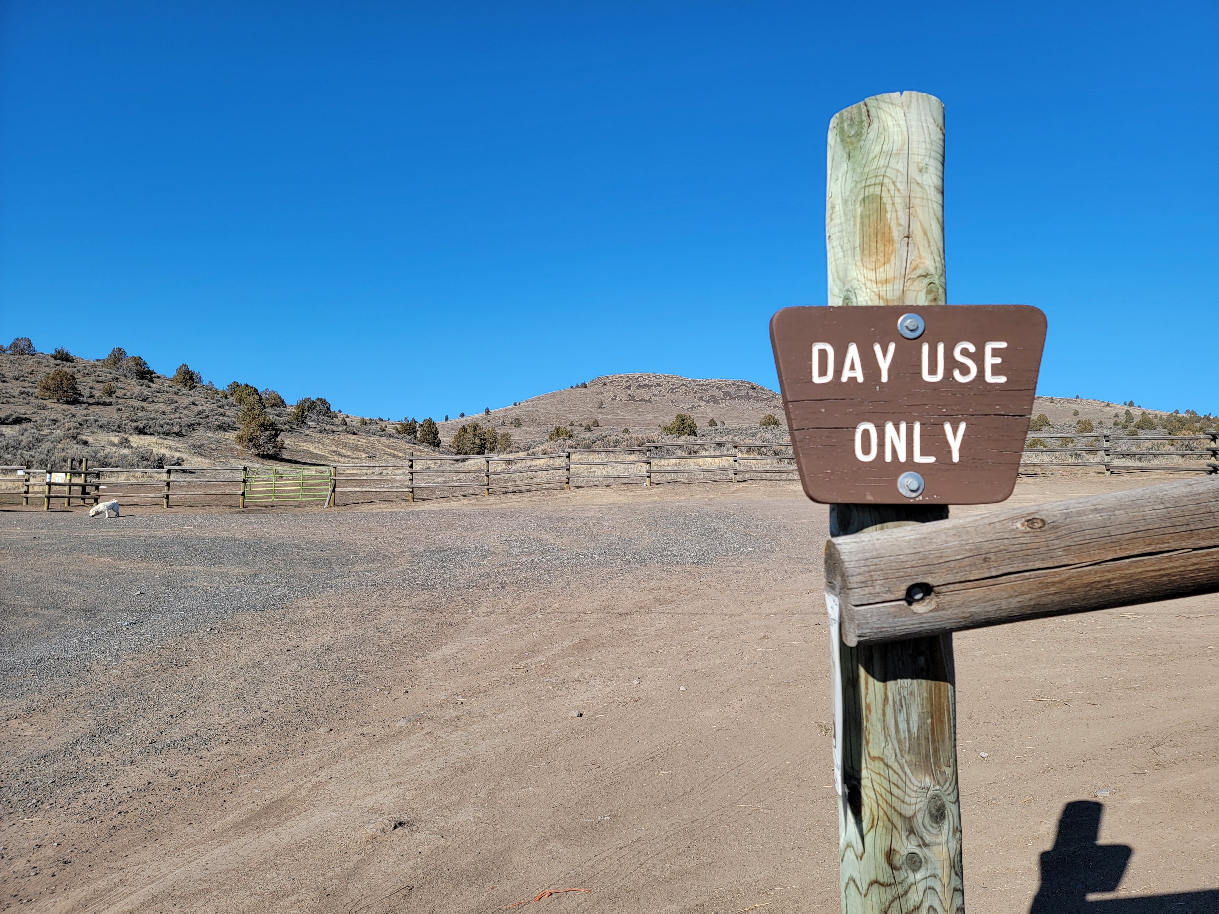
  • Open year-round for day-use only. Open from sunrise to sunset; hours vary depending on season.
  • No water or restrooms are available.
  • No camping.
  • Visitors are asked to respect the private property boundaries surrounding the area and avoid areas that indicate “Restoration in Progress.”

Photos

Trail dog
Trail dog
Bureau of Land Management
View to south from the the Klamath Hills Recreation Area.
Bureau of Land Management
View of Mt. Shasta from the the Klamath Hills Recreation Area.
Bureau of Land Management
Trailhead at the Klamath Hills Recreation Area.
Bureau of Land Management
Close up view of Mt. Shasta from the the Klamath Hills Recreation Area.
Bureau of Land Management
Trail dog
Trail dog
Bureau of Land Management
View to south from the the Klamath Hills Recreation Area.
Bureau of Land Management
View of Mt. Shasta from the the Klamath Hills Recreation Area.
Bureau of Land Management
Trailhead at the Klamath Hills Recreation Area.
Bureau of Land Management
Close up view of Mt. Shasta from the the Klamath Hills Recreation Area.
Bureau of Land Management

Adventure is at Your Fingertips

Phone

Activities

Iconograph of three picnic tables
DAY USE AREA
Iconograph of two people wearing backpacks and using walking sticks
HIKING
Iconograph of a person looking through a scope on a rifle
HUNTING

Addresses

Klamath Falls Field Office
2795 Anderson Ave, Bldg #25
Klamath Falls
Oregon
97603

Geographic Coordinates

42.06089, -121.75412

Directions

The Lower Klamath Hills Trailhead is approximately 6.5 miles southeast of Midland; take Highway 97 south, turn left (east) on Cross Road; then right (south) on Lower Klamath Lake Road.