
Inyo Mountains Wilderness | California
Overview
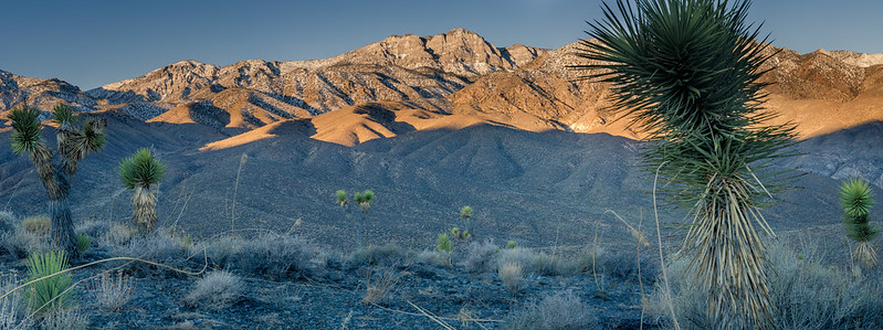
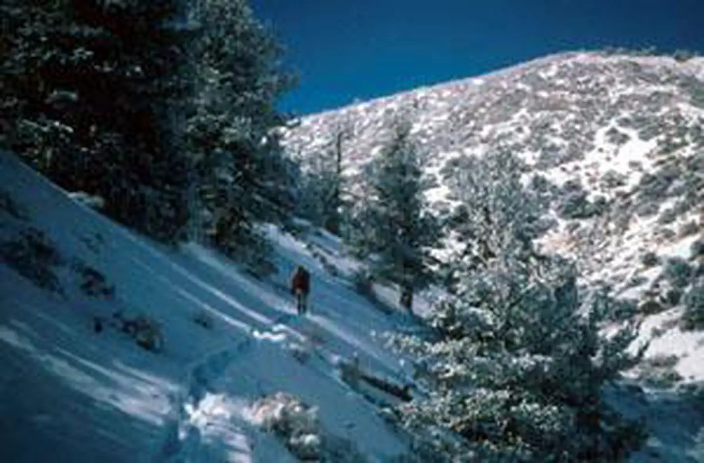
The north-south Inyo Mountains comprise a high and vast desert range, and the isolated and pristine Wilderness that bears their name encompasses a large portion of this sheerly rugged terrain. The area reaches a high point on Keynot Peak, at about 11,000 feet, and separates the Owens Valley on the west from the Saline Valley on the east. Most of the eastern border is shared with Death Valley National Park. Year-round streams, some cascading over waterfalls, can be found in eight canyons on the rough east side. These steep-walled canyons offer challenges to rock climbers.
In addition to Keynot Peak, the prominent summits of New York Butte and Mount Inyo provide tough, nontechnical hikes with splendid views as rewards. Creosote, shadscale scrub, and sagebrush proliferate at lower elevations. You'll find a lush riparian habitat in the moist canyons, and pinion-juniper woodlands on some of the slopes. Bristlecone and limber pine grow in the higher reaches. Inyo Mountains Wilderness lies partly on BLM land and partly within Inyo National Forest.
A rich mining legacy has left a smattering of ruins to explore, and the towers that supported a men-and-salt-bearing tram from the Saline Valley salt mines to Owens Lake can still be seen on Cerro Gordo Peak.
There are 103 miles of unmaintained trails, often difficult to follow, a holdover from historic use. Most of these trails are not shown on maps. From Reward, the old Lonesome Miner Trail (40 miles) will take you south through the highest country to Hunter Canyon. The chance for a solitude-rich Wilderness experience of a high order awaits the adventurous.
For more information about this wilderness, please visit Wilderness Connect.
Leave No Trace
How to follow the seven standard Leave No Trace principles differs in different parts of the country (desert vs. Rocky Mountains). For more information on any of the principles listed below, please visit Leave No Trace, Visit the Leave No Trace, Inc. website..
- Plan Ahead and Prepare
- Travel and Camp on Durable Surfaces
- Dispose of Waste Properly
- Leave What You Find
- Minimize Campfire Impacts
- Respect Wildlife
- Be Considerate of Other Visitors
Rules and Regulations
Motorized equipment and equipment used for mechanical transport are generally prohibited on all federal lands designated as wilderness. This includes the use of motor vehicles (including OHVs), motorboats, motorized equipment, bicycles, hang gliders, wagons, carts, portage wheels, and the landing of aircraft including helicopters, unless provided for in specific legislation. In a few areas some exceptions allowing the use of motorized equipment or mechanical transport are described in the special regulations in effect for a specific area. Contact the agency for more information about regulations.
Photos
Contact Us


