Honeycomb Buttes Wilderness Study Area

Honeycomb Buttes WSA | Wyoming

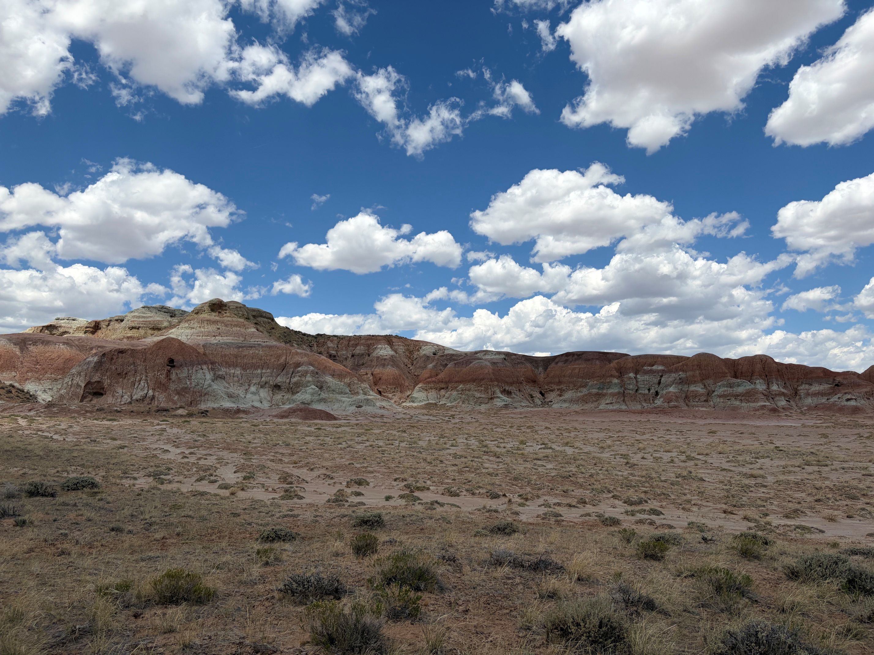
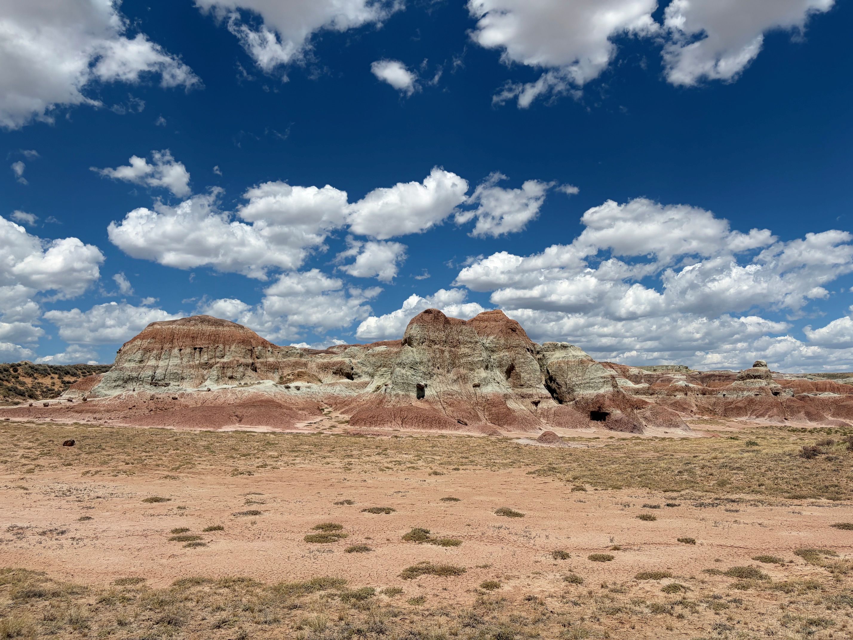
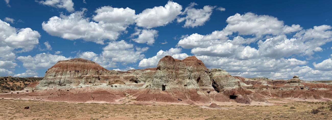
The Honeycomb Buttes WSA encompasses 39,908 acres of BLM-administered land, 640 acres of split estate and 640 acres of state land. This WSA is one of the best examples of badlands topography in Wyoming with its many colored bluffs, small draws and side canyons. Twisted and contorted erosional features dominate the landscape. The buttes are scattered with petrified wood and fossilized turtle shell. The Honeycomb Buttes WSA provides outstanding opportunities for various kinds of primitive and unconfined recreation. These opportunities include rockhounding, nontechnical climbing on the clay and rocky buttes, spelunking in the many erosion caves found in the buttes, and wildlife and outdoor photography. Opportunities also exist for backpacking, hunting and horseback riding. The remarkable scenic quality of this WSA greatly enhances the recreational values. This is a fee-free area. 

Photos
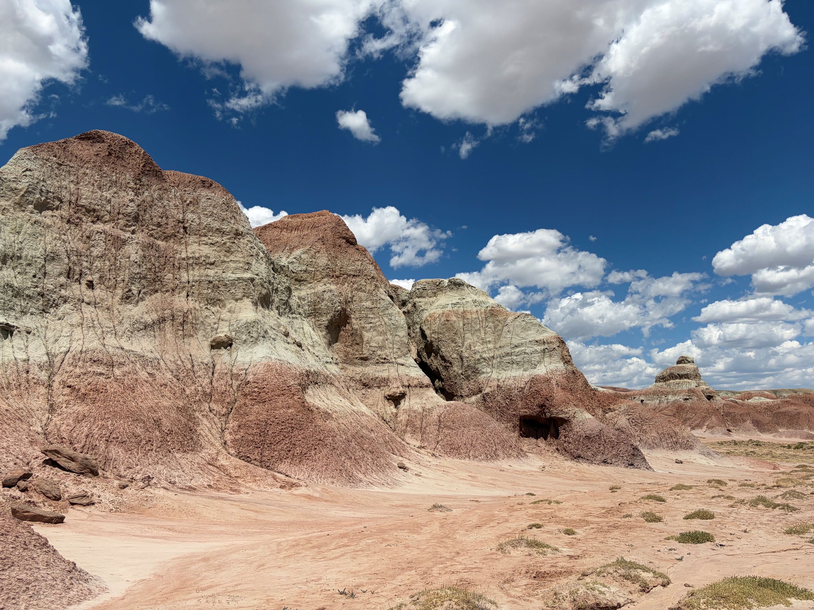
Scenic view of Honeycomb Buttes Wilderness Study Area Scenic view of Honeycomb Buttes Wilderness Study Area Photo by Allegra Gossett
Landscape scenic view of Honeycomb Buttes Wilderness Study Area Landscape scenic view of Honeycomb Buttes Wilderness Study Area Photo by Allegra Gossett
Honeycomb Buttes Wilderness Study Area Honeycomb Buttes Wilderness Study Area Photo by Allegra Gossett

Accessibility Description (ABA/ADA)

The boundary roads are accessible in most locations.


BLM WYOMING KNOW BEFORE YOU GO

The BLM welcomes you to explore, enjoy, and make positive memories from your outdoor experiences on America's public lands and waters. Please remember these are wide-open spaces and wildlands. Plan ahead and be aware of potential hazards. It is everyone's responsibility to take the necessary steps to minimize chances of becoming lost or injured on public lands.

When visiting public lands, please also practice Leave No Trace and Tread Lightly principles.

For other key advice on various recreation activities, please visit the BLM's trip-planning tips page. These helpful tips can help you make the most of your recreation experience. However, for more information about local conditions, regulations and recreation resources, there is no substitute for visiting the closest BLM office.


Contact Us

This site is managed by Rock Springs Field Office; visit their page for office hours and directions.

Adventure is at Your Fingertips

Activities

Iconograph of a tent.
CAMPING
Iconograph of two people wearing backpacks and using walking sticks
HIKING
Iconograph of binoculars
WILDLIFE VIEWING
Iconograph of a camera
PHOTOGRAPHY
Iconograph of two tents sites and a pine tree.
CAMPING AREA
Iconograph of three evergreen trees
WILDERNESS

Addresses

280 Highway 191 North
Rock Springs
Wyoming
82901-3447

Geographic Coordinates

42.242526, -108.663244

Directions

Take State Highway 28 east from Farson 38 miles. Turn southeast onto county road 10-446. In 10 miles 10-446 will become county road 4-74 and will also be the boundary between Honeycomb Buttes and Oregon Buttes WSAs.

Fees

No Fees

Stay Limit

14 days