
Eastside Keswick Trails | California
The Hornbeck Trail was the first trail segment in this network to be built and follows the path of a historic mining railroad on the east side of the river. It is named for a volunteer who was instrumental in its development. Volunteers unofficially named the trail segment for volunteer Chuck Hornbeck, a retired civil engineer and Shasta College engineering instructor, who was a leader in determining the trail route and recording important historic information. The trail segment follows the path of a historic mining railroad called the “Old Diggings Railroad,” the “Quartz Hill Railroad,” or the “Mammoth Mine Railroad." The rail line was used in the early 1900s to haul quartz used as flux for nearby copper smelting at Kennett (now under Shasta Lake).
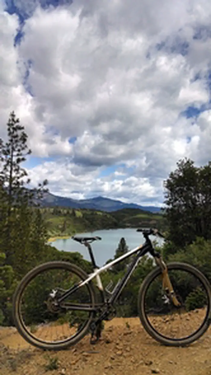
The Upper Sacramento and Lower Sacramento Ditch trails follow the alignment of the historic Sacramento water ditch. The F.B. trail winds through some steep terrain and offers amazing views of Keswick Reservoir. The Chamise Peak trail climbs to the top of Chamise Peak where one is rewarded with an amazing 360 degree view of the surrounding area.
Photos
Contact Us


