
The Doerner Fir Trail | Oregon
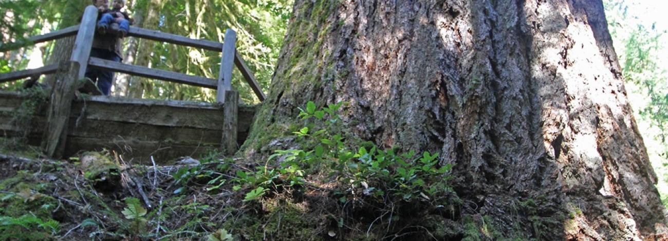
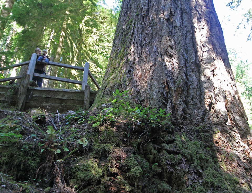
The Doerner Fir is one of the largest coastal Douglas-fir trees in the world. Winding roads take you through the beautiful forest to this site 50 miles from Coos Bay, in the Coast Range Mountains. Once at the trailhead, take a half-mile hike through an old-growth forest to the Doerner Fir.
Know Before You Go
- Open year-round.
- 0.5 mile trail - moderate hiking.
- Vault restroom.
- No drinking water is available.
Travel to the Doerner Fir requires driving on winding and narrow forest roads, and slides are common in the area. Travel slowly and use caution around road hazards.
Photos
Contact Us

Activities


Addresses
Directions
From Coquille, Oregon: Turn left onto the Fairview–Coquille Road and proceed to Fairview. Turn right at four-way intersection on the Coos Bay Wagon Road and proceed 3.9 miles to the Middle Creek Access Road. Turn left and drive approx. 8 miles. Turn right (west) onto Vaughn’s Creek Road (27-10-6.3). Stay on road until it becomes Burnt Mountain Access Road. Travel about 8.5 miles and turn right onto road 27-9-21. Travel about 4 miles to the well-marked trailhead.
External Map
Fees
No fees.