
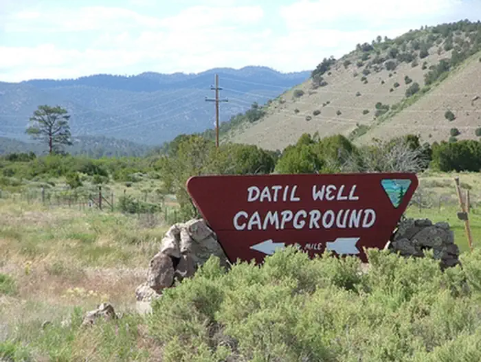
Datil Well Recreation Area Campground | New Mexico
Datil Well Recreation Area Campground includes one of 15 water wells along the old Magdalena Livestock Driveway. The old cattle trail was established in the 1800s and stretched 120 miles from Springerville, AZ, to Magdalena, NM. The area includes 3 miles of hiking trails in pinyon-juniper and ponderosa pine woodlands, with scenic views of the San Augustin Plains. The trail and vistas also offer an occasional glimpse of wildlife in a setting of quiet and solitude. If you close your eyes, you can almost hear the cattle lowing as they settle in for the night. Please leave a clean camp and respect the facilities and natural surroundings.
Photos
Accessibility Description (ABA/ADA)
At the entrance to the site, informational and interpretive signs, an iron ranger fee-payment box, and a metal bench with a back and no arms sit on packed gravel near a small A-frame building, which serves as a visitor center. A wood-plank wheelchair ramp provides access to the visitor center; however, a lip between the ground surface and the ramp will be challenging for some visitors. The visitor center has historical photographs and artifacts displayed on walls and in cases, all of which should be viewable by visitors using wheelchairs or other mobility devices.
Wi-Fi is available at the visitor center. Cell phone reception is good throughout the site, depending on your carrier. A camp host site is in the northwestern portion of the Campground, west of the visitor center.
There are 3 accessible double-vault toilets on large concrete pads and 4 water hydrants with easy-to-use lever valves scattered throughout the Campground. The hydrants sit on concrete pads near the toilets. Large dumpsters also sit next to the toilets. The top opening might be too high for people using wheelchairs or other mobility devices to easily access them.
As shown on the Campground map, a packed-gravel loop road connects 22 individual campsites. Each campsite has its own packed-gravel parking spur, picnic table on a concrete pad under a shade shelter, fire ring, and grill. None of the campsites except for #18 were designed for accessibility. For example, the picnic tables do not have extended ends and the fire rings are not raised. Electrical hookups are available at 3 of the campsites.
Campsite #18 was designed to be accessible. It must be reserved by calling the Field Office (573-835-0412). This site has a picnic table with an extended end to accommodate wheelchair users. The table sits on concrete under a shade shelter. The fire ring is safe to use from a seated position. It is raised and insulated, sits on concrete, and has a grill attachment. There is also a separate standing grill just off the concrete pad, as well as a concrete pad for parking.
Campsite 18 is along a 0.2-mile concrete sidewalk inside the camping loop. Just east of the campsite is a double vault toilet and water spigot. The sidewalk also connects to the visitor center to the north, and to the southwest is another vault toilet, water spigot, and campsite #3, which was not designed for accessibility.
A group picnic site is southeast of the main campground loop. Parking is in a packed-gravel lot. There is a concrete slab for accessible parking in front of an accessible double vault toilet. From there you can take the concrete pathway to 2 picnic shelters. The red shelter covers 3 wood picnic tables on a concrete slab. None of the tables have extended ends, but the legs are somewhat inset. A water spigot is at one end of the shelter on concrete, and at the other end are 2 standing grills, one in packed gravel and one on concrete.
A sidewalk connects the red picnic shelter to the nearby green picnic shelter at the group site. The green shelter also has 3 picnic tables on a concrete slab. One of the tables has an extended end to accommodate wheelchair users. A large standing grill sits on concrete just outside the shelter near a tall prep-table. A fire ring sits on natural ground between the shelters.
Southwest of the campground is a small, packed-gravel parking area with room for about 4 or 5 vehicles and a trailhead to miles of hiking trails that were not designed to be accessible.
NOTE: Descriptions and photos uploaded April 2025. Please note that actual on-the-ground conditions may vary due to natural events (e.g., weather, wildfires, erosion), normal wear and tear, or site improvements.
Flickr Album

Contact Us

Activities


Addresses
Geographic Coordinates
Directions
The Datil Well Recreation Area Campground is off of US 60. Go 1 mile west of Datil on US 60 or south on NM 12, then turn onto Datil WI Loop and travel for a quarter mile to get to Datil Well Campground.
Fees
Yes