
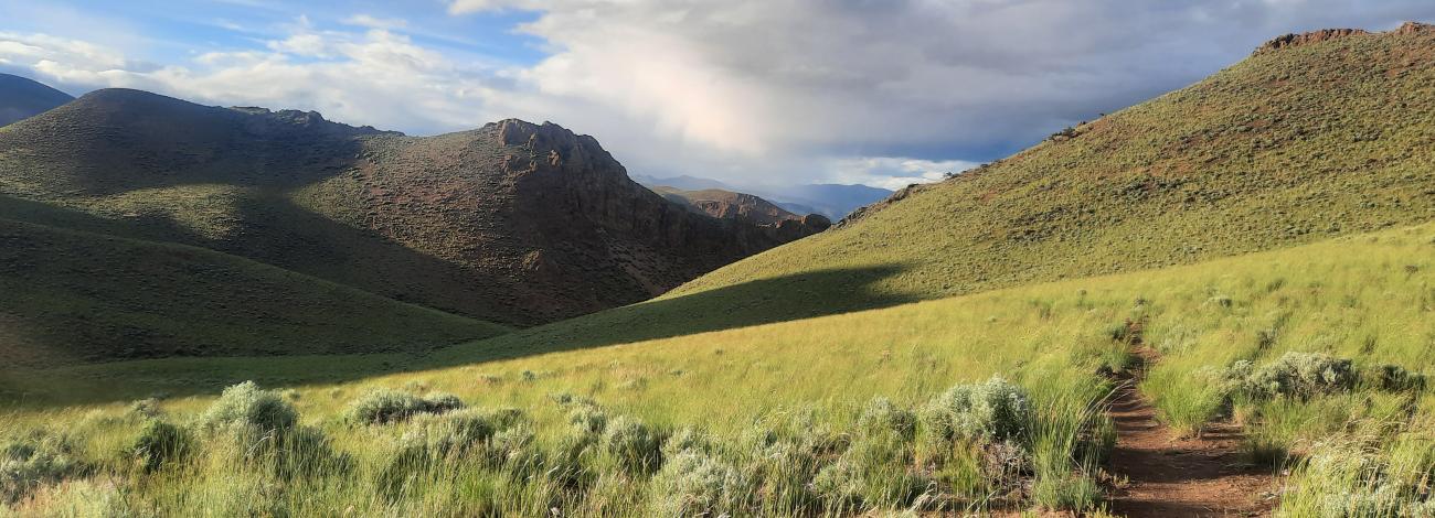
Challis Foothills Trail System | Idaho
The Challis Foothills Trail System is the result of a unique community partnership between the Bureau of Land Management-Challis Field Office, City of Challis, Idaho Department of Parks and Recreation, Tread Lightly!, and the Challis Community Trails Alliance. Designed to connect the heart of Challis with the surrounding foothills, the trail system offers opportunities for recreation, connection, and healthy living.
Whether you’re a hiker, runner, mountain biker (including Class I, II, and III e-bikes), horseback rider, dirt biker, or winter adventurer, there’s a trail waiting for you. Select routes are open to motorized use for off-highway vehicles 50 inches or under, giving riders additional options for exploring.
From quiet walks close to town to longer excursions into the foothills, the system is built to encourage both locals and visitors to enjoy the beauty of central Idaho while fostering active, outdoor lifestyles.
Trailhead Access
There are three trailheads to access the trail system, which include Blue Mountain, Round Valley, and Foothills Trailheads.
Round Valley Trailhead is located 0.1 miles off Dump Road on the left hand side.
Blue Mountain Trailhead is located 0.6 miles off Dump Road on the right hand side.
Foothills Trailhead is located on the southern end of the Golf Course Walking Path.
Additionally, you may access the trail system from Lombard Connector Trail which begins at the Land of the Yankee Fork State Park Visitor Center located at 24424 ID-75, Challis, Idaho 83226.
Be sure to check the Trail Map for details on specific trail use designations before heading out.
Contact Us

Activities


Addresses
Directions
From Challis, Idaho, head south on U.S. Highway 93 for approximately 1 mile. Then, turn right onto Dump Road. Along Dump Road there are two trailheads to access the trail system which include Blue Mountain and Round Valley Trailheads.