
Bunting Trail | Utah
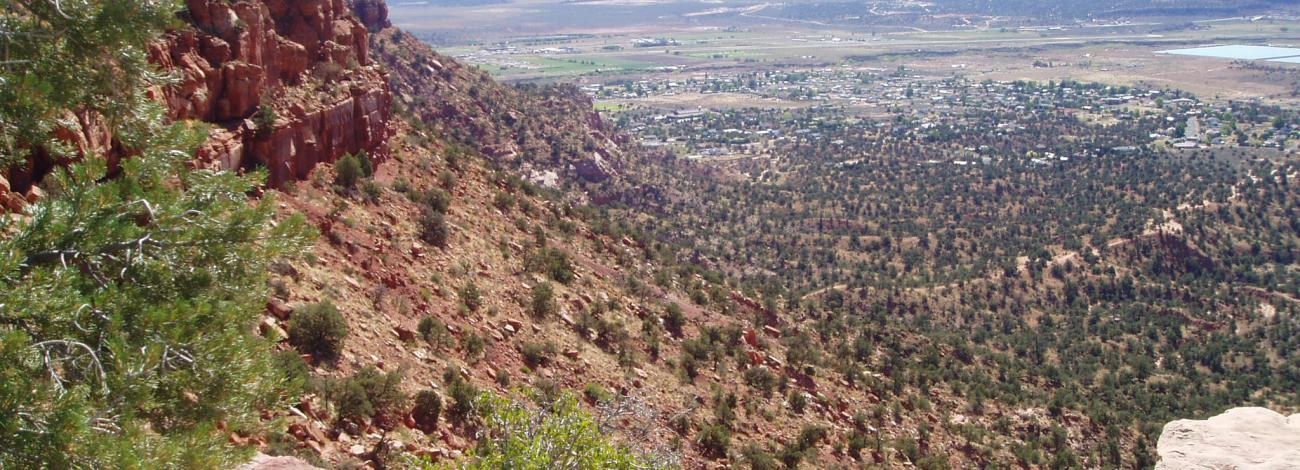
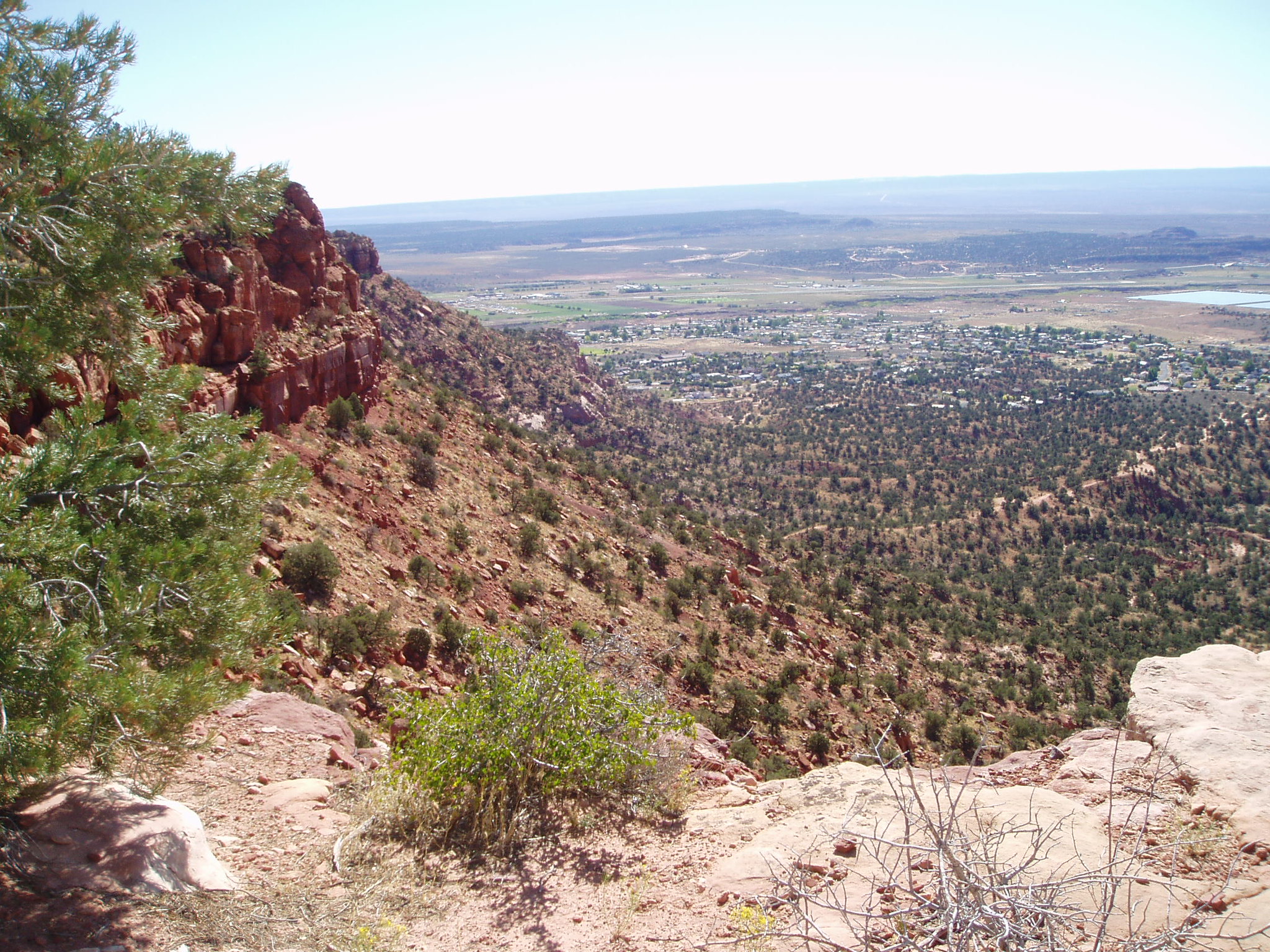
The Bunting Trail is a 4-mile (round-trip) out-and-back route on BLM-managed land southwest of Kanab, Utah. After an initial flat, sandy stretch, the trail climbs steeply for about 860 feet to Bunting Point, where hikers can enjoy sweeping views of the Vermilion Cliffs and Grand Staircase country. Dogs are welcome on leash. The climb becomes more challenging above the saddle, following a ridgeline with scenic overlooks and access to a petroglyph panel that highlights the area’s rich cultural history.
About 0.5 miles from the trailhead, a signed side wash leads to a sandstone boulder bearing two well-preserved dinosaur footprints. These three-toed tracks, likely made by a theropod dinosaur millions of years ago, may not be museum-level specimens — however, they offer a rare and authentic glimpse into the region’s prehistoric past. Combined with the trail’s panoramic vistas and cultural feature, this short detour makes Bunting Trail a rewarding experience for visitors of all ages.
Hours and Seasons
The trail is open year-round, but conditions vary by season. Spring and fall offer the most comfortable hiking weather. Bunting Trail is primarily clay based, so please refrain from using the trail when it is wet or snow covered to protect the trail surface.
Features and Services
- Access & Parking: Gravel lot with informational kiosk. The trailhead parking lot is flood prone and best avoided if there is a risk of heavy rain or flooding.
- Trail Use: Open to foot travel; no bicycles or motorized vehicles.
- Cell Service: Limited and variable — do not rely on connectivity.
- Toilets & Water: None available; bring your own water and plan for no restroom facilities.
- Pets: Allowed on leash — please pack out waste.
- Camping: Camping is not allowed on the trail or at the tracksite. Dispersed camping may be allowed in adjacent BLM lands; check local BLM regulations for fire and camping guidelines.
- Nearby Amenities: Kanab provides food, fuel, lodging, and medical services.
Respect and Protect
The dinosaur tracks and desert landscape are delicate resources. Please avoid disturbing fossils or vegetation, stay on designated paths, and pack out all waste. By practicing responsible outdoor ethics, you're helping ensure future visitors can appreciate this remarkable site.
Photos
Flickr Album

Accessibility Description (ABA/ADA)
The trail includes uneven sandy surfaces, steep climbs, and ridgeline footing. It is generally described as strenuous and not considered wheelchair accessible.
Contact Us

Activities


Addresses
Directions
From the intersection of US‑89 and US‑89A in Kanab, travel south on US‑89A for about 0.9 miles. Turn right onto East Kanab Creek Drive and continue approximately 1.9 miles. Turn right onto West Stansfield Drive, then proceed about 0.2 miles to reach the trailhead parking and informational kiosk.
Fees
No fees