
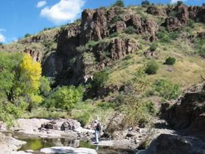
Blue Creek Wilderness Study Area | New Mexico
The Blue Creek WSA is located in the southwestern portion of New Mexico and is dominated by a volcanic fault block mountain named Black Mountain. The intermittent Blue Creek passes through the eastern part of the WSA and the narrow cliff-walled canyon is dominated by ash, cottonwood, Arizona sycamore, and willow. The uplands are dominated by desert grasses and shrubs.
Photos
Contact Us

Activities


Addresses
Directions
From Lordsburg, NM, drive north then northwest on US Hwy 70 for approximately 25 miles. Turn right on NM 92 and drive approximately 6 miles, crossing the Gila River on the way, to Mud Springs Ranch Rd (A039), approximately one mile east of Virden, NM. Passing unmarked intersecting roads, drive for approximately 5.5 miles on A039 to a 4WD road on the right. Drive south approximately 1/4 mile; the WSA is on the left side of this road for approximately 1 1/4 miles before entering private land.