
Baker Cypress Trail | Oregon
Photos
Contact Us

Activities

Addresses
Directions
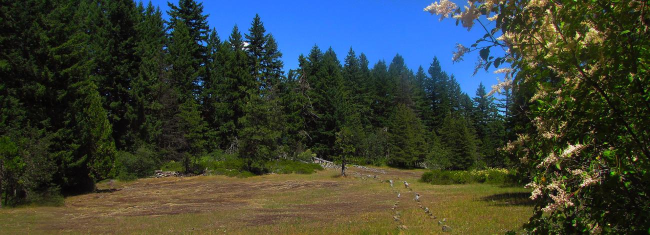
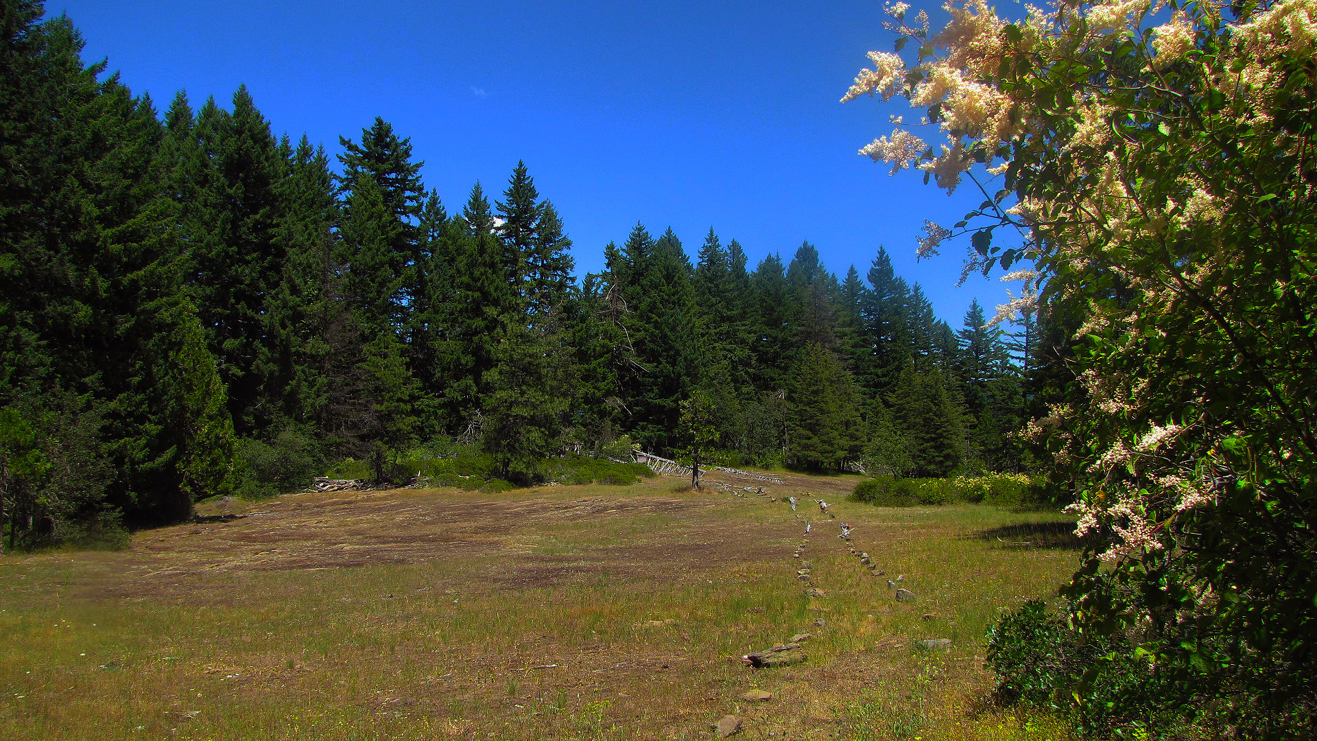
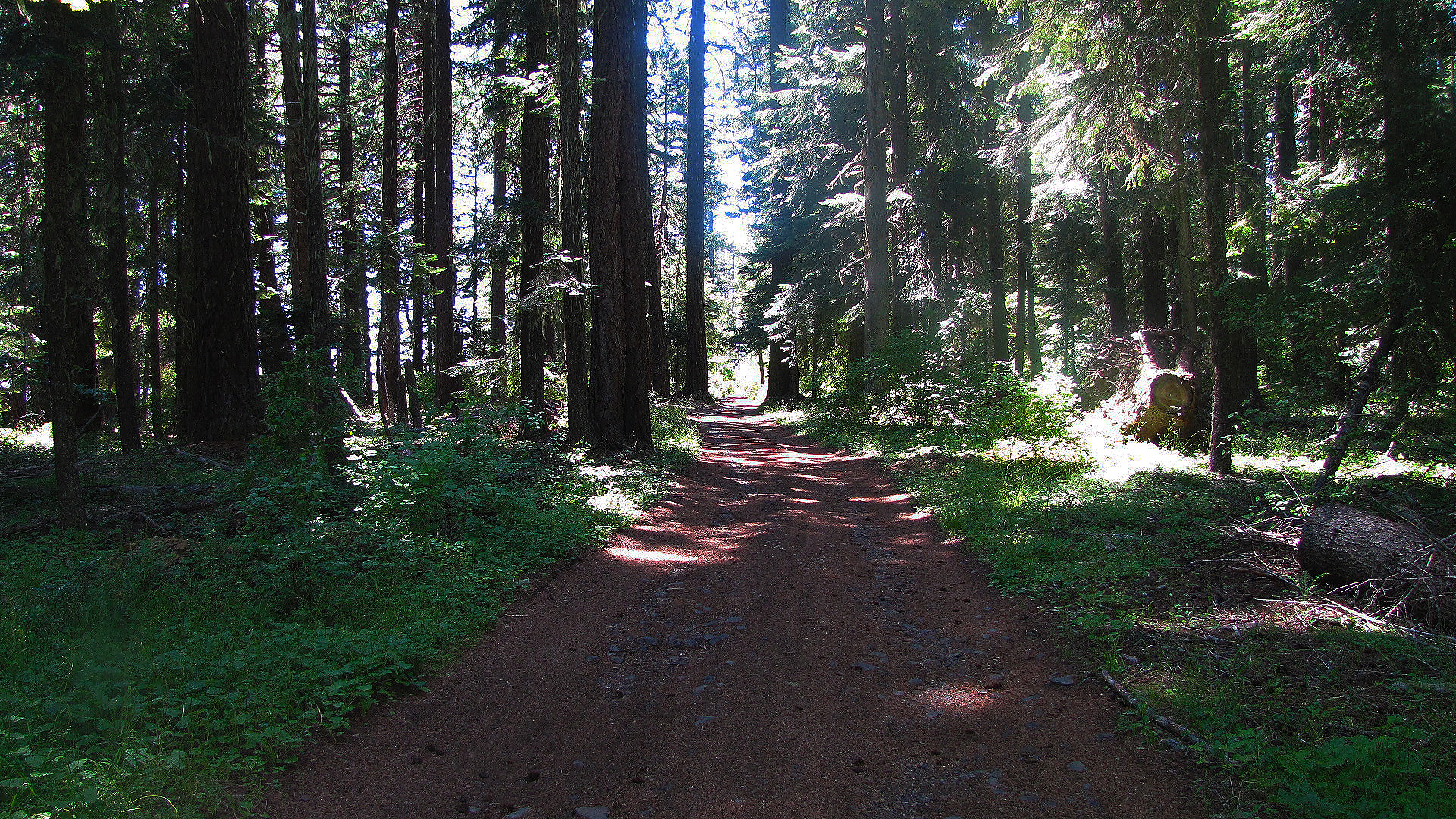
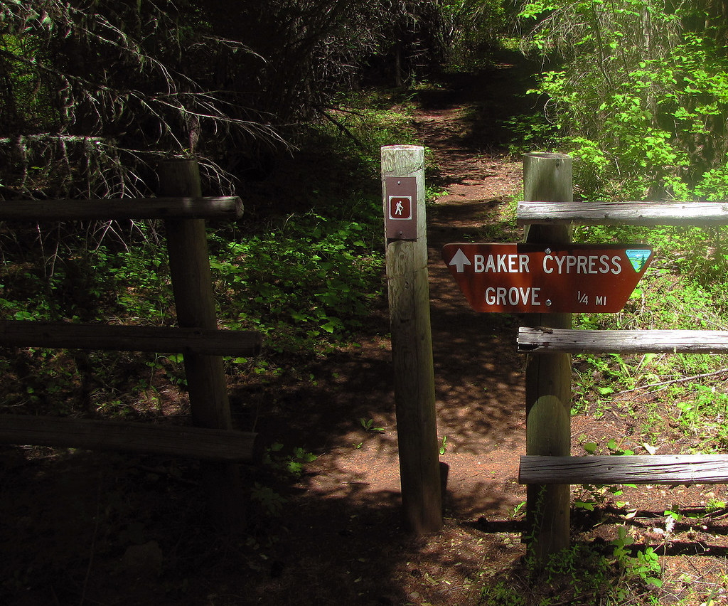
From Medford, Oregon: Travel north on Highway 62 through the town of Shady Cove, and past Lost Creek Lake. After crossing the bridge over the Rogue River, continue 2.5 miles and turn left on Ulrich Road, located near mile marker 38. Travel another 2.5 miles to a "Y" junction, and take the left fork onto BLM Road 32-2E-34. Travel 4.2 miles to a wide parking area. The trail to a small population of Bakers Cypress is through the rail fence on the left. Vehicles with high clearance can travel another 1/3 mile up to the top of Flounce. Note: After leaving Highway 62, the first mile is through a residential neighborhood - please drive slowly to keep the dust down. This route is a narrow, steep, winding road not recommended for vehicles pulling trailers. Access is weather dependent, and is not accessible during winter.
Fees
No fees.