


Alpine Loop Back Country Byway | Colorado


- High-clearance

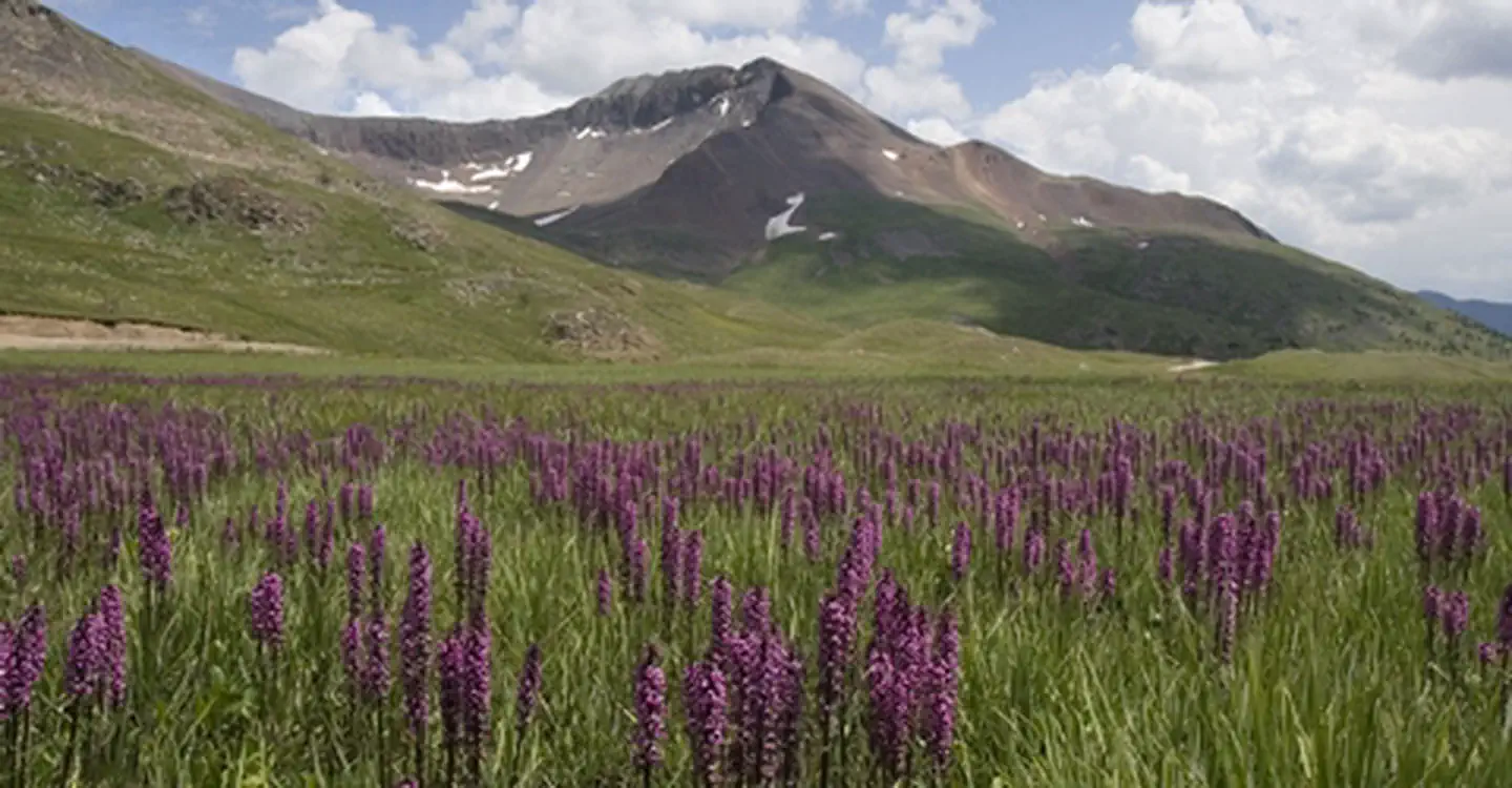
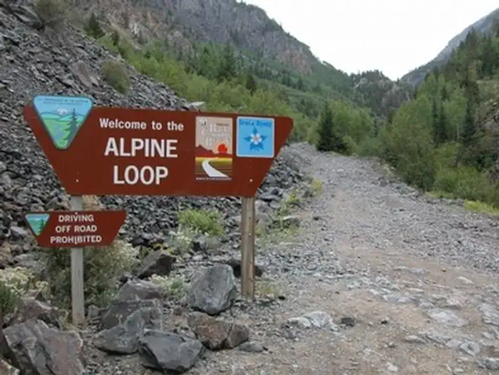
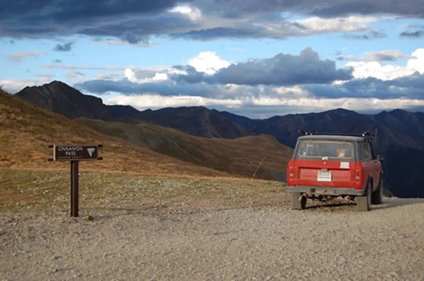
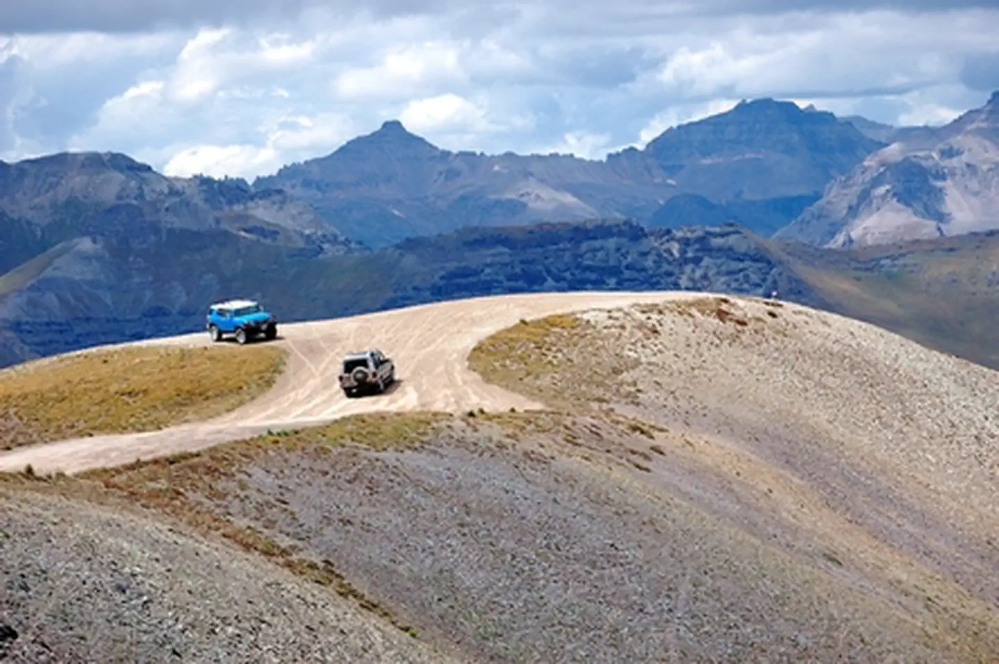
Designated in 1989, The Alpine Loop Back Country Byway offers a rugged and immersive backcountry experience in Colorado’s San Juan Mountains. Traversing high alpine terrain up to 12,800 feet in elevation, the route connects the historic towns of Lake City, Silverton, and Ouray. This 4x4-only road provides access to sweeping vistas, abundant wildlife, vibrant wildflowers, and relics of the region’s mining past. Visitors are strongly advised to plan ahead, travel with adequate supplies, and be aware that electronic communication is limited. The Alpine Loop embodies both adventure and education, offering an intimate view of Colorado’s natural and cultural heritage. It is also recognized as a Colorado State Scenic Byway.
Byway Details
The Alpine Loop is truly a backcountry experience. Make sure someone knows your travel plans and do your homework before you start your trip. Make sure you have plenty of water, food and fuel to make it to your destination. Electronics and wireless devices DO NOT work in most places on the Alpine Loop. It is recommended that you download or print hard copy maps prior to your trip. The Alpine Loop Backcountry Byway is a rugged 4x4 road that winds through the spectacular scenery of the San Juan Mountains, connecting Lake City, Silverton, and Ouray. The Alpine Loop byway traverses passes up to 12,800 feet while showcasing old mines, ghost towns, natural wonders, beautiful wildflowers, and abundant wildlife including cutthroat trout, the fringed myotis bat, lynx, pika, ptarmigan and wolverine.
Long before the mining boom, the high country along the Alpine Loop was Ute homeland. In 1873, the confederated Ute bands ceded much of this region to the federal government under the Brunot Agreement but kept their hunting and fishing rights. Those rights are still honored today through agreements between the State of Colorado and the Southern Ute Indian Tribe (2008) and the Ute Mountain Ute Tribe (2013). The hard-rock mining era of the late 1800s and early 1900s left its own mark on the landscape. Along the route you’ll find mills, mine structures, and ghost towns, from the Old Hundred Gold Mine’s bunkhouse clinging to the cliffs of Galena Mountain to the mines of Silver Lake Basin. The Ute Ulay mine and mill site near Lake City was listed on the National Register of Historic Places in 2017. These sites are fragile and irreplaceable.
Alpine Loop is an avenue for exploring nature and history amidst thrilling views and stunning geography. Tackling the loop in its entirety is easily an all-day experience. However, the main loop is only part of the experience; miles of designated side routes allow visitors to either take a short tour or extend their trip to multiple days.
Attractions and Features
Scenic overlooks
Campgrounds
Ghost towns
Abandoned mines
Silverton Historic District – National Historic Landmark
Shenandoah-Dives Mill – National Historic Landmark
Interpretive kiosks
Road pullouts
Intersection with the Brunot Area, where tribal hunting and fishing rights are recognized and managed collaboratively
Byway Designation
The Alpine Loop is designated as a Type III BLM Back Country Byway, though some segments may qualify as Type I or II depending on road conditions and access. It is also recognized as a Colorado State Scenic Byway.
The byway is valued for its cultural, scenic, educational, historic, and wildlife-related intrinsic qualities. It has not undergone a change in byway type since its original designation. Management objectives across overlapping designations — including the state scenic byway status and tribal conservation agreements — are largely compatible with the goals of the BLM's BCB program.
Photos


Contact Us
Activities


Directions
From Lake City enter the Alpine Loop on either County Road 30 or County Road 20. From Silverton enter the Alpine Loop on County Road 2. From Ouray enter the Alpine Loop on County Road 18.