
Alien Run Mountain Bike Trail |
Photos
Accessibility Description (ABA/ADA)
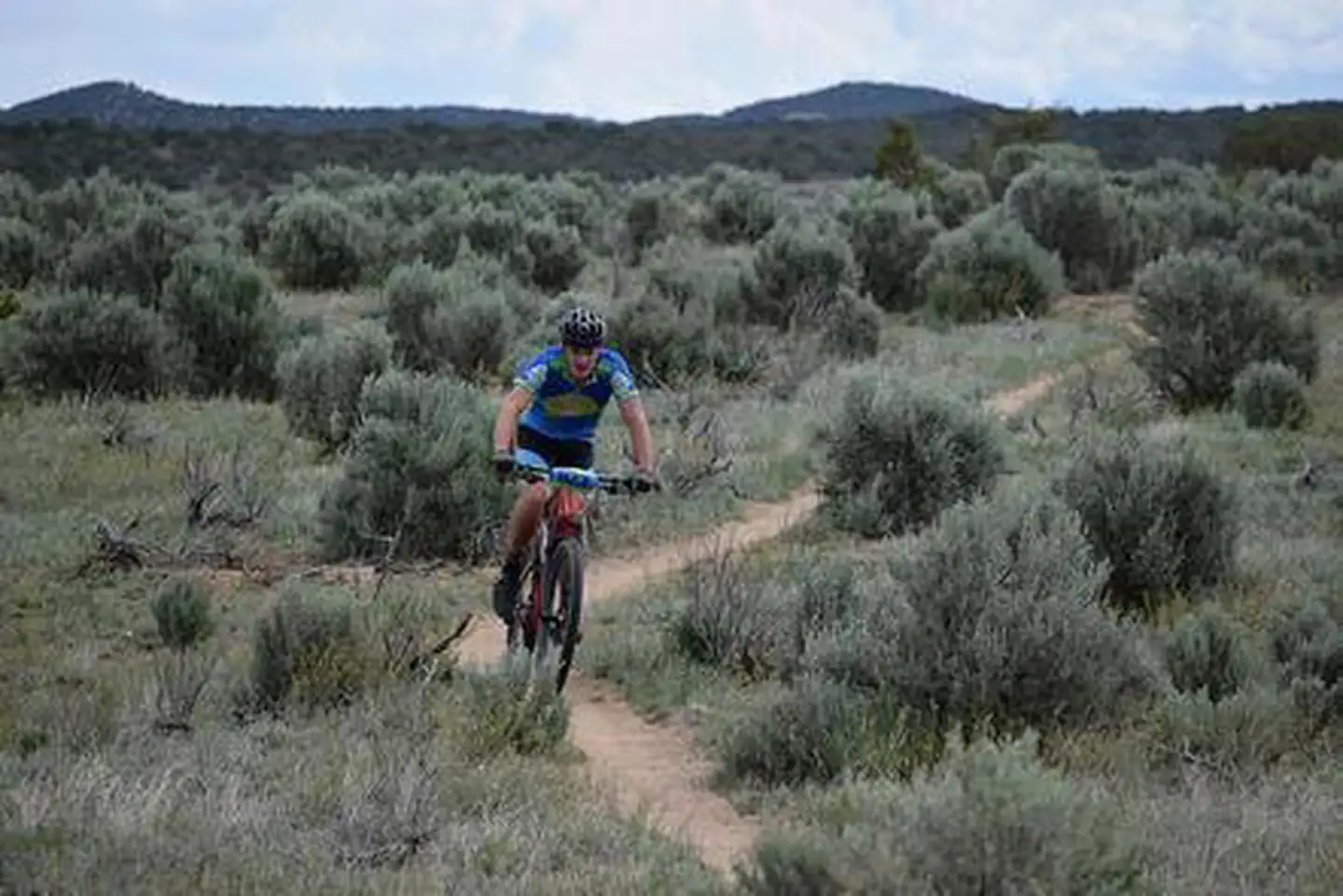
To utilize this area, visitors need to be able to bike up to 15 miles across rolling hills, rough terrain, while avoiding wildlife or other recreators also using the trails.
Know Before You Go
Fees
None
Facilities
There is no potable water at this location, but there is an ADA-accessible vault toilet.
There is a large, gravel parking area with two accessible, shaded picnic tables and a changing pavilion.
The trailhead is located at the back of the parking lot alongside an informative kiosk with a trail map of the area.
- There are 16 miles ranging from beginner to advanced and an elevation gain of 1,250+ feet.
Nearby Amenities
The nearest location to obtain gas, food, and water is in Aztec, ~8 miles away via Hart Canyon and US-550 S/NE Aztec Blvd.
Season/Hours:
Open year-round
- The road may become difficult to navigate in bad weather.
Special Rules:
Be a responsible user and stay within the boundaries of the recreation area.
Permits are required for commercial, competitive and organized group events.
Pets must be on a 6-foot leash, and their waste disposed of.
No fireworks, discharge or use of firearms, or any other weapons are permitted in the OHV area.
Practice and please make sure to carry out or dispose of any litter.
Brochures, Maps, and Publications
N/A
Wildlife in Area
Mule deer
Elk
Mountain lions
Rattlesnakes
Contact Us


