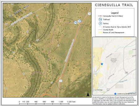
La Cieneguilla Trail
Download Files
Publication Date
Region
New Mexico
Farmington DO
Taos FO
Organization
Collection: Public Room
Category: Map
Keywords
Map
Recreation

Official websites use .gov
A .gov website belongs to an official government organization in the United States.
Secure .gov websites use HTTPS
A lock (
) or https:// means you’ve safely connected to the .gov website. Share sensitive information only on official, secure websites.