
Multiple Indicator Monitoring (MIM) of Stream Channels and Streamside Vegetation
BLM Technical Reference 1737-23, Version 2, December 2024
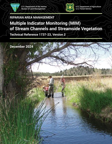
Multiple Indicator Monitoring (MIM) of Stream Channels and Streamside Vegetation provides information for managers, landowners, and others to adaptively manage riparian resources. After 13 years of experience using the protocol, it has been updated to reflect new standards.
A series of videos was produced to provide instructions on using the Excel spreadsheet data modules:
- Introduction to the Multiple Indicator Monitoring (MIM) Data Modules On-line Training
- Training video for Multiple Indicator Monitoring (MIM) Data Entry Module
- Training video for Data Analysis Module Part I: Data Handling
- Training video for Data Analysis Module Part II: Analyzing Data and Metric Summaries
- Training video for Statistical Analysis Module
For assistance accessing these files or video links, please contact [email protected]
Attachments last updated April, 2025
Download Files
Publication Date
Region
NOC
Organization
Collection: BLM Library
Category: Technical Reference
Keywords
Riparian
Wetlands and Riparian