
Haines, Alaska Earth Cover Classification
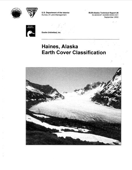
Ducks Unlimited, Inc. and the Bureau of Land Management have been mapping wetlands in the boreal regions of Alaska since 1988. The project area chosen was a 2.2 million acre area in the northern portion of the Alaskan panhandle centered on Haines, Alaska. Portions of two cloud free Landsat TM images (Path 59, Rows 18 and 19) taken on August 1, 1999 were used to classify the project area into 26 earth cover categories. An unsupervised clustering technique was used to determine the location of the field sites to ground truth the satellite imagery. A custom field data form and digital database were used to record field information. A total of 178 sites were visited during July 8-13, 2000. An A-STAR helicopter was used to gain access to all of the sites. Global positioning system (GPS) technology was used to navigate to the preselected sites and to record new sites selected in the field. Approximately 30% of the field sites were set aside for accuracy assessment. A modified supervised/unsupervised classification technique was performed to classify the satellite imagery. The classification scheme was based on Viereck et al. (1992), but was modified to represent the earth cover communities found in Alaska. The overall accuracy of the mapped categories was 86%.