Weston Hills | Wyoming
Weston Hills is located about 25 miles north of Gillette, to the west of Highway 59. The area is managed jointly between the Bureau of Land Management and U.S. Forest Service. There are two staging areas near the entrance as well as a fishing pond. There is one vault toilet.
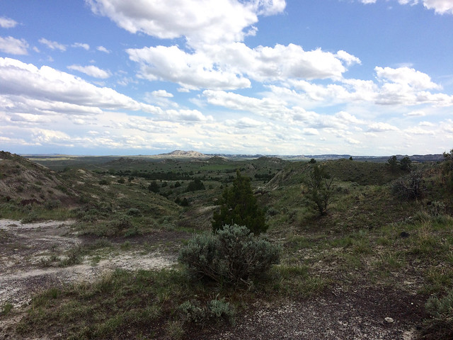
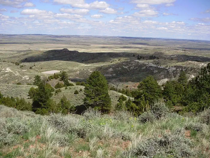
With several miles of roads and trails, this area is popular for four-wheeling, riding ATVs and dirt bikes, and hunting. You may see mule deer, antelope, elk, turkey, and eagles. On clear days you can see the Bighorn Mountains to the west and Devil's Tower to the east in the distance.
Dispersed camping is allowed. Potable water is not available. Vehicle travel, including all OHVs, is limited to designated routes. Riders can expect challenging features along trails and are asked to tread lightly to ensure continued use and safety.
Photos
BLM Wyoming Know Before You Go
Contact Us

Activities


Addresses
Directions
From I-90, take Exit 124 and head northeast on WY 50/Skyline Drive. Turn left onto Highway 14/16/59 and travel 6.7 miles. When routes divide, turn right onto Highway 59 North. Continue along Highway 59 N for about 24 miles; turn left into the Weston Hills Management Area.
Fees
No Fee.
WESTON HILLS PHOTOS