
Surveyor Recreation Site | Oregon
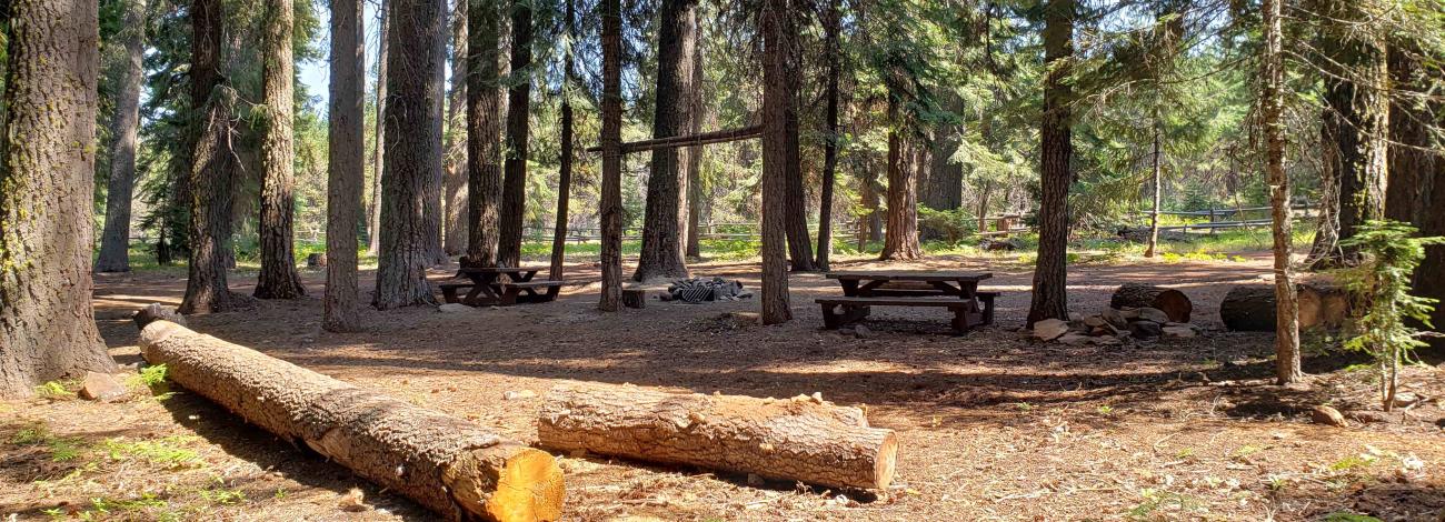
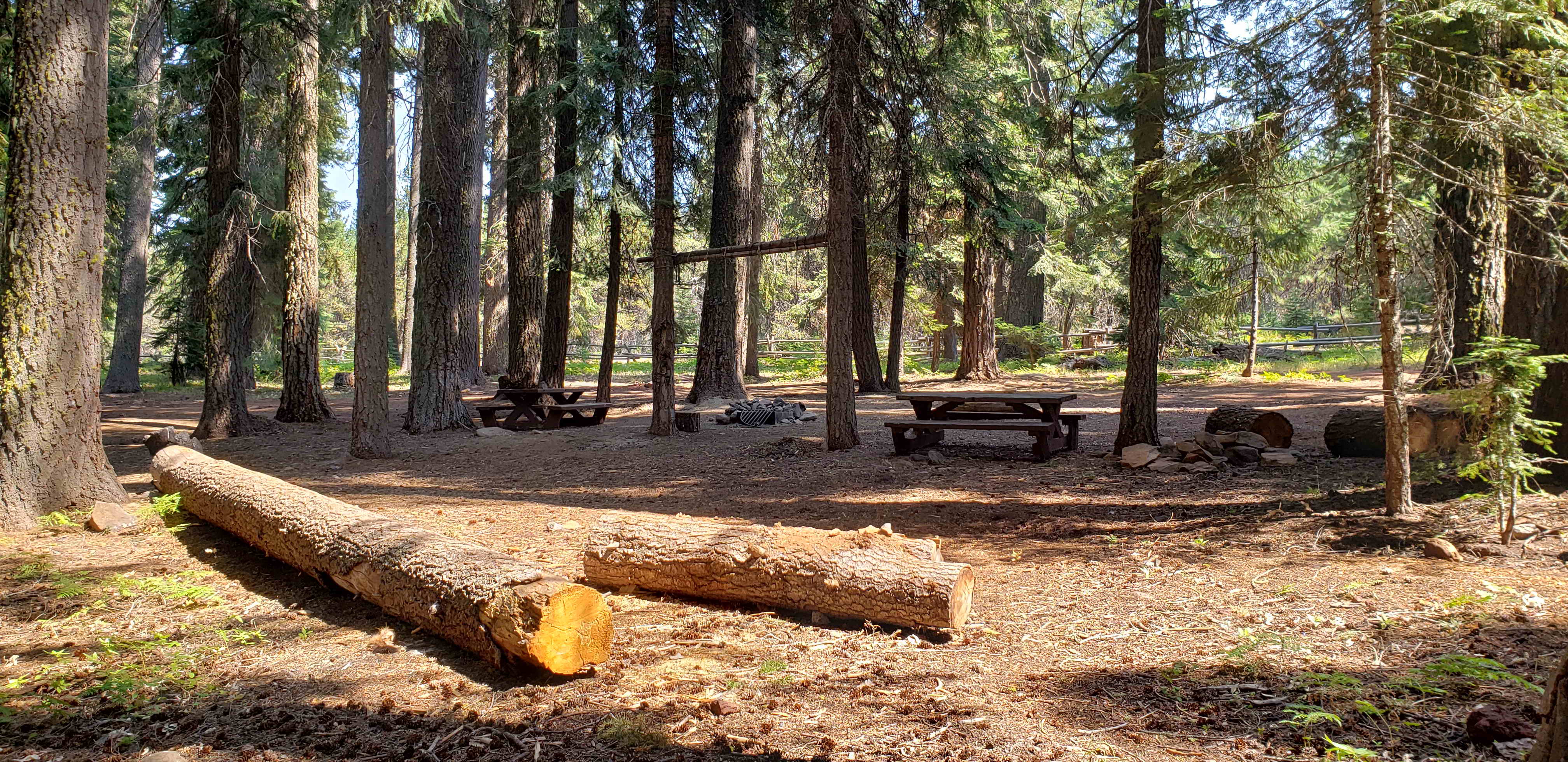
This secluded campground hides five campsites, an accessible restroom, and a seasonal spring. Surrounded by an old growth Douglas fir forest, the highlight of this site is the isolation. This campground is part of the Klamath Basin Birding Trail where you can find abundant wildlife and superb bird watching.
Photos
Contact Us

Activities


Addresses
Geographic Coordinates
Directions
From Klamath Falls, OR: Travel south on Highway 97 about two miles to the Highway66 (west) exit. Proceed west for approximately 15 miles (through the town of Keno) to the junction of Highway 66 and Keno Access Rd. Turn right on Keno Access Road (closed in winter) and continue approximately 14 miles to the campground entrance, which is on the left. From Ashland, OR: Take Highway 66 (sometimes called Greensprings Road) east to Keno Access Rd. Note: This site is only accessible from late spring to early fall. Keno Access Road and other access roads may be closed due to snow from late fall to early spring.
External Map
Fees
No fees.