
Split Rock Interpretive Site | Wyoming
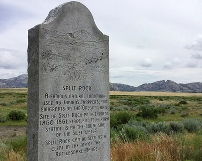
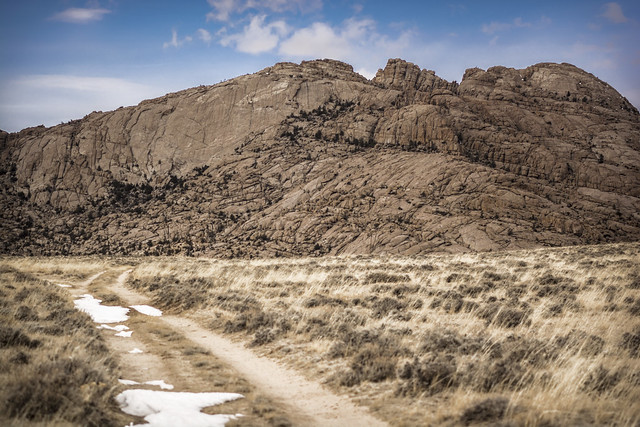
As the dominant landmark of the Sweetwater Valley, the unmistakable "gun sight" notch in the summit of Split Rock aimed the emigrants directly at Great South Pass, still more than 75 miles to the west. A BLM interpretive site is at this location.
A second highway turn-out a few miles west offers a better (although reverse) view of the "split" and also a look at the Old Castle, a smaller landmark south of the Trail and highway.
The site has restrooms, trash collection and the hard-surfaced interpretive trail is ADA accessible.
Photos
SPLIT ROCK AND LANKIN DOME WSA PHOTOS
BLM WYOMING KNOW BEFORE YOU GO
Contact Us
This site is managed by Lander Field Office; visit their page for office hours and directions.

Activities


Addresses
Lander Field Office
1335 Main Street
Lander
Wyoming
82520
Geographic Coordinates
42.453, -107.5458
Directions
From Jeffrey City, travel east on US Highway 287 approximately 18 miles and turn north following highway signs.