
Red Gulch/Alkali Backcountry Byway | Wyoming
The Red Gulch/Alkali National Backcountry Byway is a 32-mile scenic drive on improved gravel and dirt roads through the foothills of the Bighorn Mountains. Near each of the two entrances to this historic route you will see a National Backcountry Byway kiosk which provides historical information about the byway as well as road conditions.
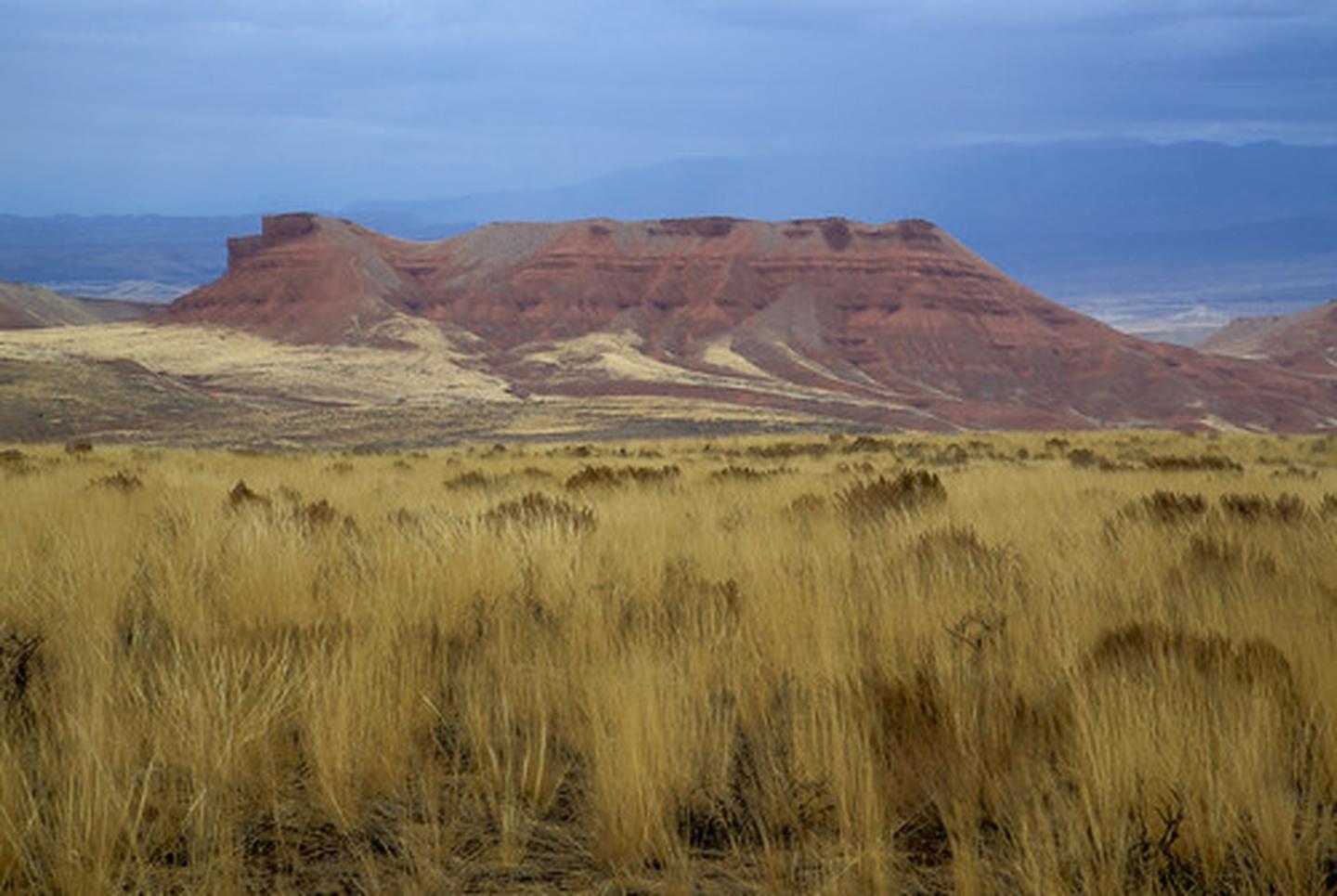
The steep, rugged canyons cut into the mountains along the byway and offer many challenging and interesting hiking opportunities. Among the wondrous sights you may see are hoodoos. These strange, artistic rock formations were carved over the centuries by Wyoming's wind.
Get Away From It All
Day hike or backpack into one of three areas nominated for the National Wilderness Preservation System.
The Alkali and Red Gulch roads serve as boundaries for the Alkali Creek Wilderness Study Area, known for its fascinating rock formations.
Superb fishing is common in the dramatic Medicine Lodge Canyon, a part of the Medicine Lodge Wilderness Study Area.
Trapper Creek Wilderness Study Area lies a few miles north of the Alkali/Red Gulch intersection and offers an impressive view into Trapper Canyon. This is one of the most spectacular canyons on the western slope of the Bighorn Mountains. Access into Trapper Canyon is very difficult and permission to cross privately-owned land is necessary.
Photos
Contact Us

Activities


Addresses
Directions
The northern access from U.S. Highway 14, is four miles west of Shell. The southern entry can be reached from U.S. Highway 31, north of Hyattville. The route is marked with mileage signs. Milepost 0 is near Shell and milepost 32 is close to Hyattville.
Fees
No Fee.