
Poison Creek Recreation Site | Oregon
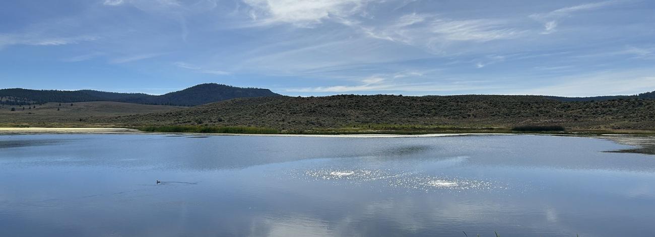
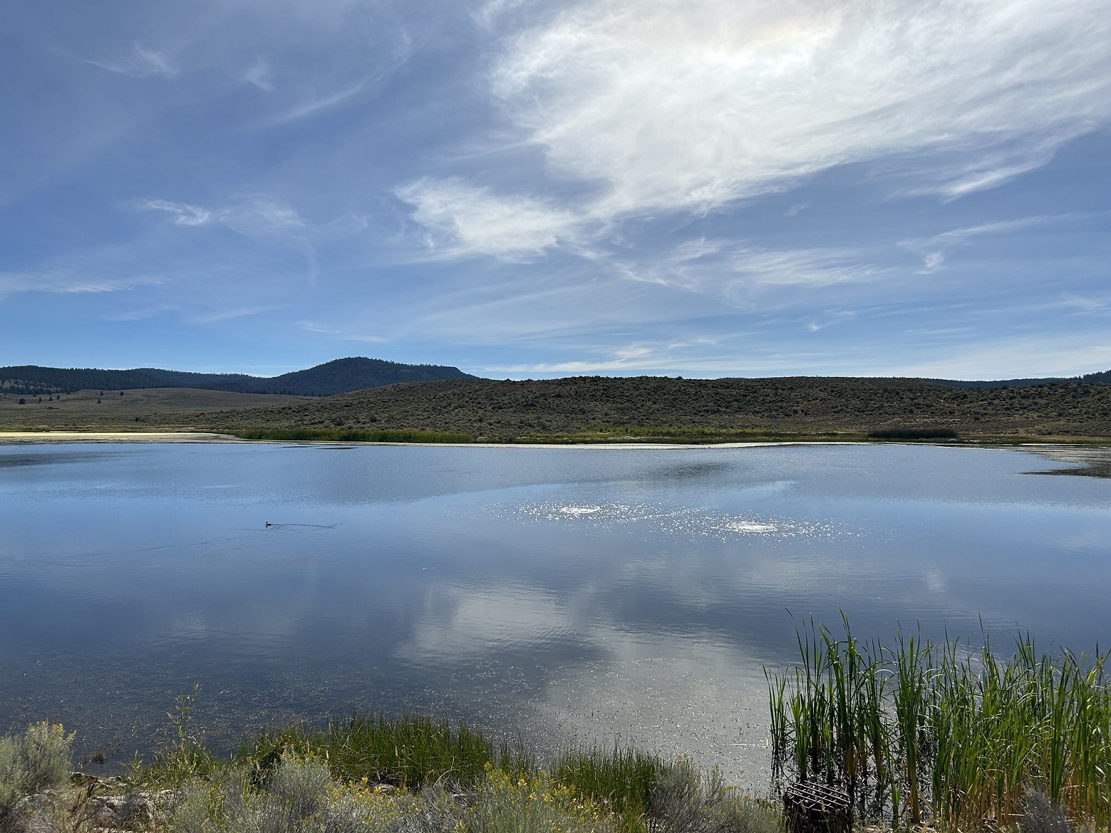
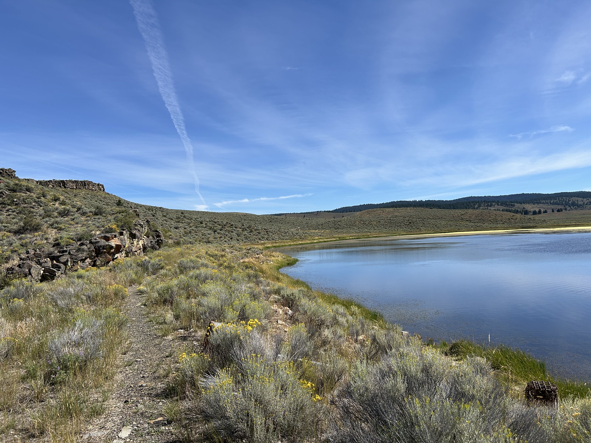
Poison Creek Recreation Site is a small, approximately 27-acre reservoir in the Silvies Valley area, managed by the Bureau of Land Management’s Burns District in southeast Oregon. The landscape surrounding it is classic eastern Oregon high desert: scattered sagebrush, rocky rimrock outcroppings, and marshy fringes that attract birds and offer tranquil scenery.
As the story goes, the reservoir, and the creek that feeds it, were named "Poison Creek" not because of actual toxins, but due to early incidents where local cattle became ill after grazing on wild parsnip plants growing nearby. Interpretive signs at the site highlight the broader local history, including Northern Paiute heritage and early pioneer settlement in Silvies Valley.
Know Before You Go
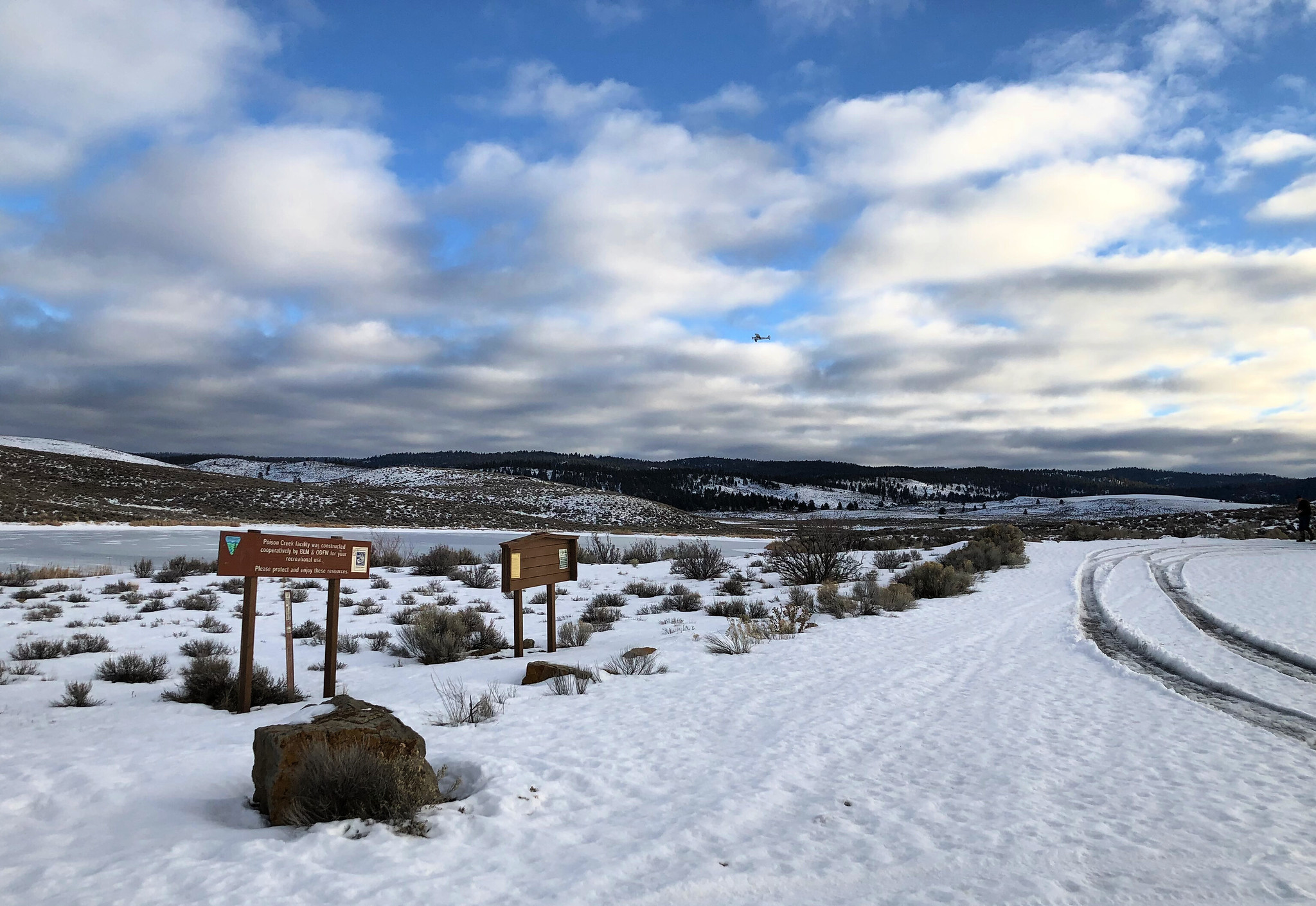
- The reservoir is stocked with rainbow trout (legal-sized and fingerling) each season. Anglers are allowed two trout per day, with a minimum length of 8 inches, and only one trout over 20 inches is permitted per day. Spinning lures and bait placed near the bottom work best. Ice fishing in winter has grown in popularity under proper conditions.
- There is plenty of parking, and one vault toilet on site. No developed campground, but a path circles about a quarter of the reservoir. Swimming is discouraged due to vegetation and water quality. Plan on packing in ONLY what you can pack out—including human and pet waste. Did you know “pack it out” means “pack it all the way out to where you brought it from”? Please recreate responsibly!
- The area is remote and high‑desert altitude means weather can change rapidly. Visiting in the cool of the morning or evening is ideal. Bring plenty of water, sun protection, and dress in layers.
Point of Interest
Nearby, Malheur National Forest’s Rock Springs Campground lies within driving distance and offers access to hiking, hunting, horseback riding, and sections of the Malheur River and Craft Cabin trails.
Photos
Contact Us

Activities


Addresses
Geographic Coordinates
Directions
From Burns, Oregon, take State Highway 395 North for approximately 31 miles, then turn right (east) onto Forest Road 17. Continue for approximately ½ mile and then take a left turn, following the sign to Poison Creek Reservoir.
Fees
Contact the field office for more information about fees and permits.