
New River Area of Critical Environmental Concern | Oregon
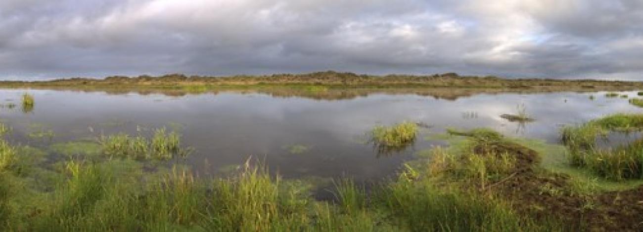
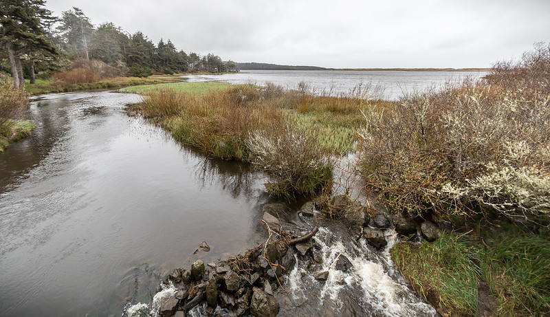
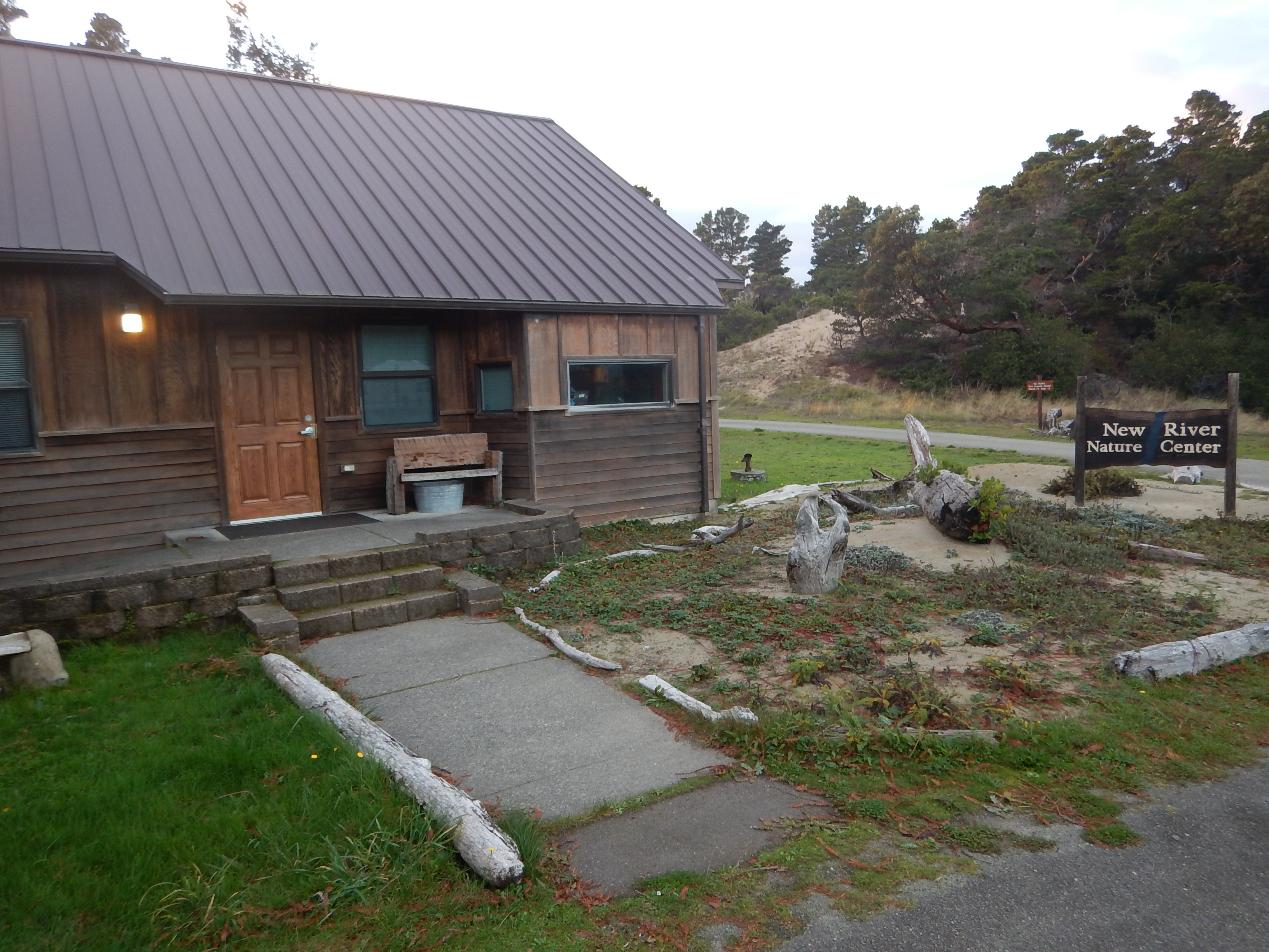
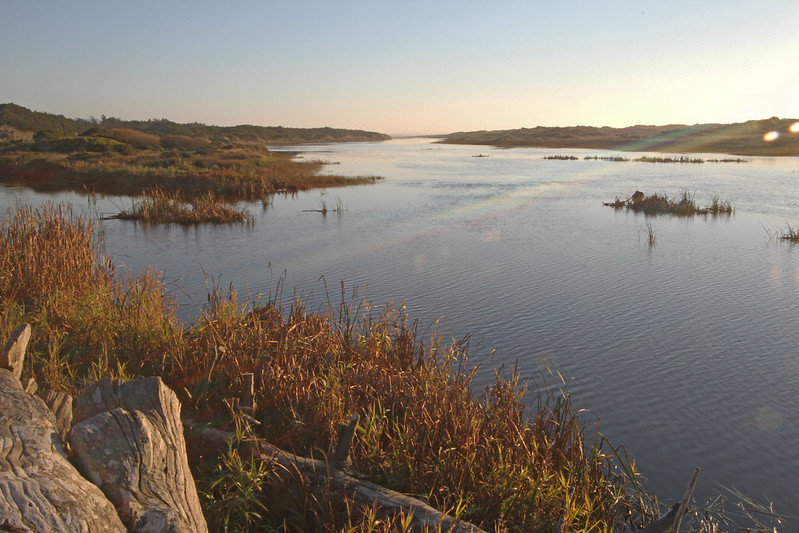
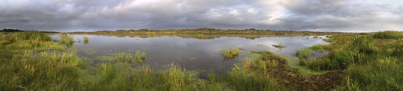
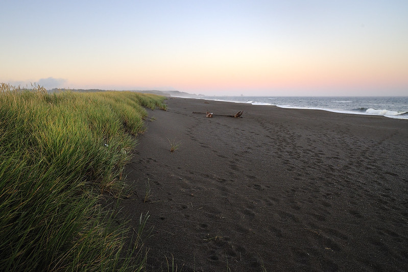
Running parallel to the Pacific Ocean for nine miles, New River is separated from the ocean by only a thin strip of sand. Many rare birds, animals and plants depend on New River's estuary, forest, meadow, wetland, and shrub habitat for survival. The area remains secluded and primitive and is a perfect area to watch wildlife or hike on the five miles of self-guided loop trails. There are four main access points to the New River Area of Critical Environmental Concern: Storm Ranch, Floras Lake, Lost Lake and Fourmile. Visitors can also view state of the art displays about the area at the Nature Center at Storm Ranch.
Know Before You Go
- Open Year Round.
- Vault restrooms.
- Day-use only; open sunrise to sunset.
- No drinking water available.
- Please keep pets on a leash.
- Small boat launch for non-motorized watercraft.
Point of Interest
The threatened western Snowy Plover calls the New River area home. Please observe posted closures on the Storm Ranch road and beach March 15 to September 15.
Photos
Contact Us

Activities


Addresses
Directions
From Bandon, Oregon: Take Highway 101 south for 9.2 miles and turn right (west) onto Croft Lake Lane and continue another 2.0 miles. Storm Ranch is located at the end of Croft Lake Lane.
Fees
No fees.