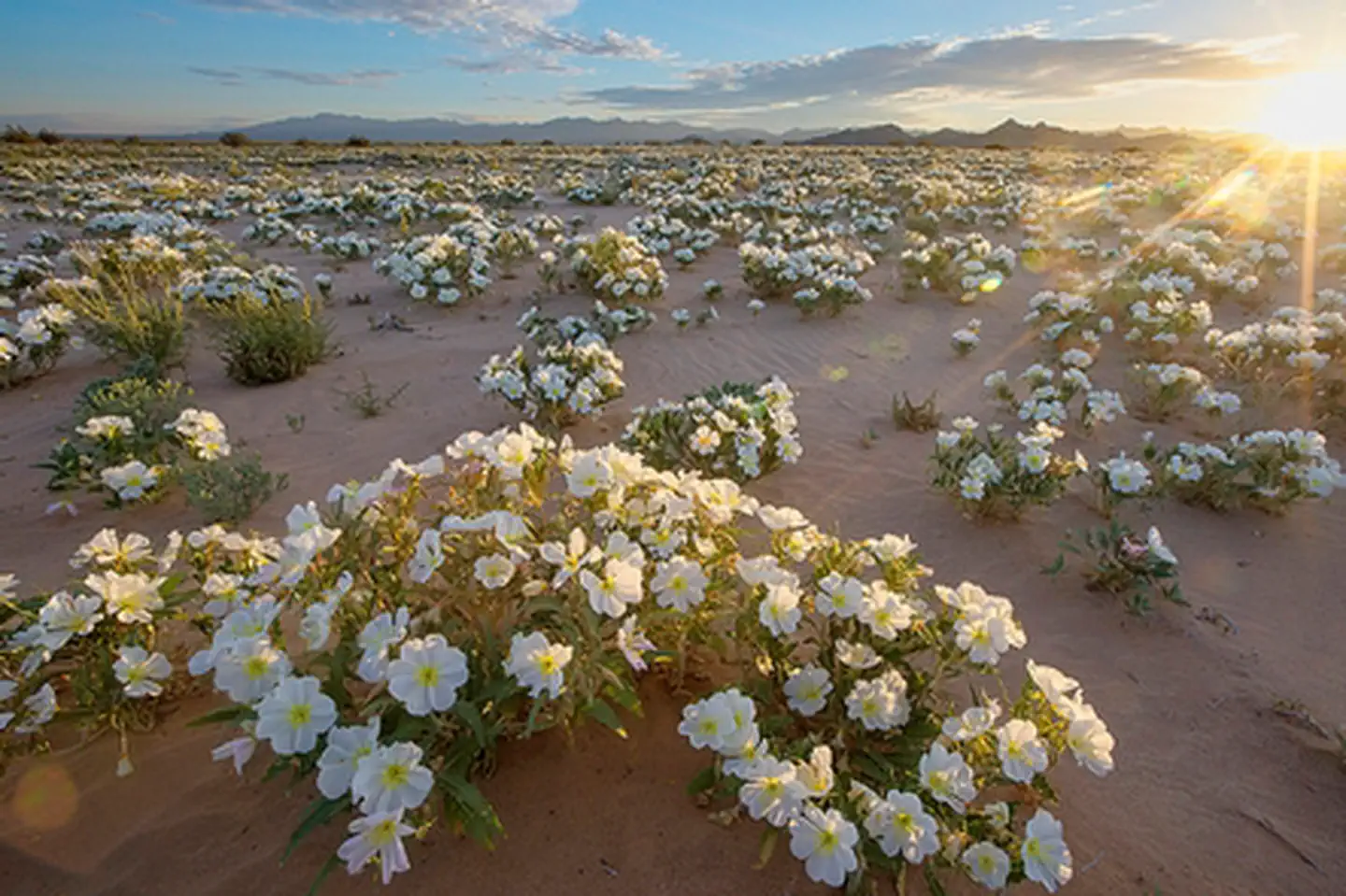
Mojave Trails National Monument | California

The Mojave Trails National Monument spans 1.6 million acres of federal lands, including more than 350,000 acres of already Congressionally-designated wilderness, managed by the Bureau of Land Management between Barstow and Needles, California. It is a stunning mosaic of rugged mountain ranges, ancient lava flows, and spectacular sand dunes. The monument contains the longest remaining undeveloped stretch of Route 66 and some of the best preserved sites from the World War II-era Desert Training Center. Connecting the Mojave National Preserve with Joshua Tree National Park, the Mojave Trails National Monument ensures the biological connectivity of this landscape while preserving traditional uses such hunting and off-highway vehicle recreation.

Photos

Afton Canyon within the Mojave Trails Naitonal Monument
Afton Canyon
Route 66 in front of Amboy Crater
Photo by Ramona Daniels/BLM
Cadiz Dunes Wilderness in the Mojave Trails National Monument
Photo by Bob Wick, BLM.

Adventure is at Your Fingertips

Activities

Iconograph of a bicyclist
BIKING
Iconograph of a figure climbing a rock wall
CLIMBING
Iconograph of a spoked wheel and an arrowhead.
HISTORIC & CULTURAL SITE
Iconograph of a tent.
CAMPING
Iconograph of two people wearing backpacks and using walking sticks
HIKING
Iconograph of a person on horseback
HORSEBACK RIDING
Iconograph of a person looking through a scope on a rifle
HUNTING
Iconograph of a picnic table
PICNICKING
Iconograph of binoculars
WILDLIFE VIEWING
Iconograph of three evergreen trees
WILDERNESS
Iconograph of person in the center of a swirl
ENVIRONMENTAL EDUCATION
Iconograph of a camera
PHOTOGRAPHY

Addresses

Bureau of Land Management
Needles Field Office
1303 South U.S. Hwy 95
Needles
California
92363

Geographic Coordinates

34.544837, -115.790605

Directions

From Needles, CA, take I-40 west approx. 10 miles to the U.S. Highway 95 north exit. This is eastern entrance to the monument.