

Lake Vermilion Public Islands | Minnesota
Introduction
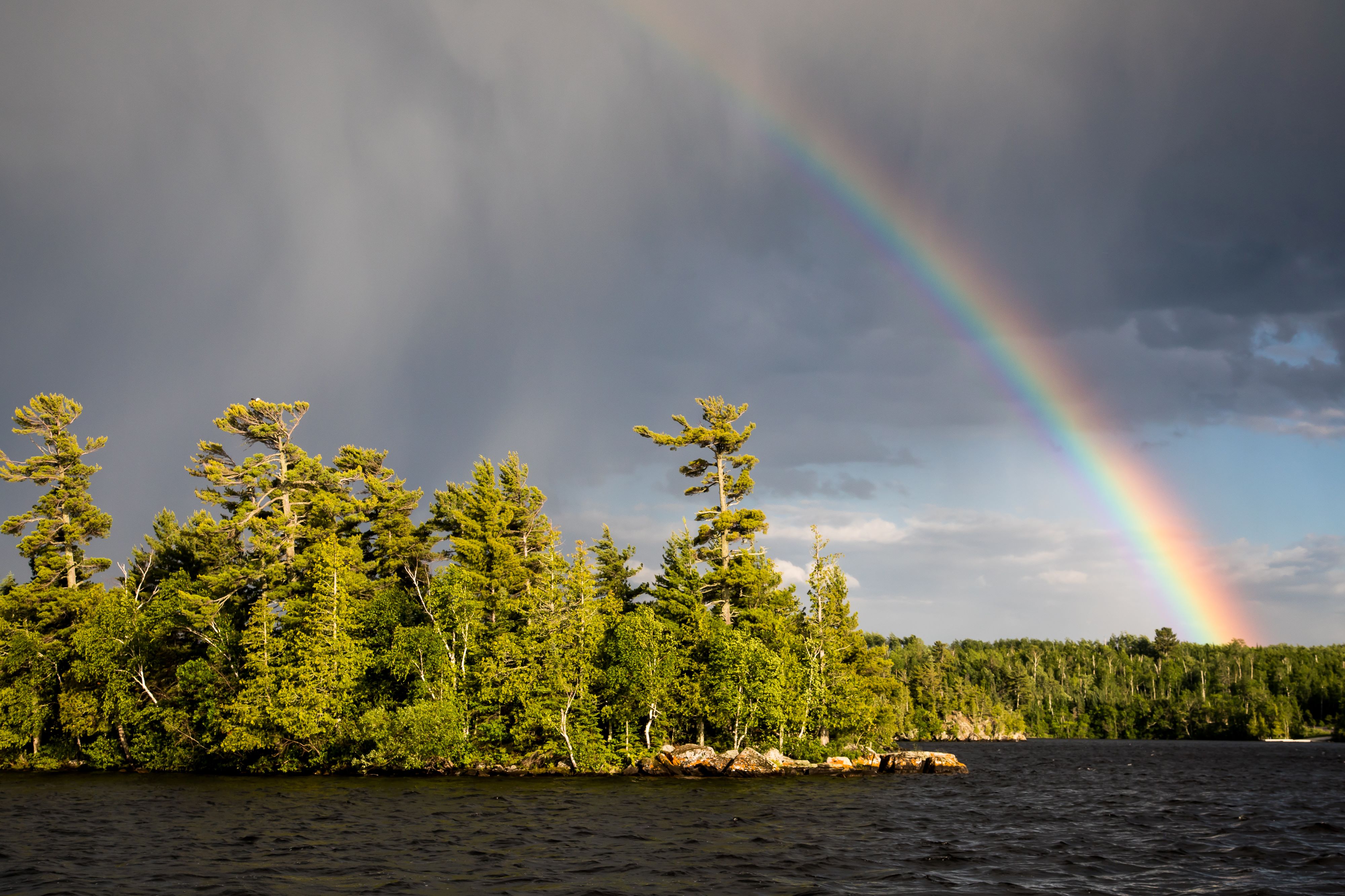
Welcome to your public lands! Lake Vermilion is one of the largest lakes in Minnesota, with over 40,000 surface acres, 1200 miles of shoreline, and 365 islands. BLM Northeastern States District manages 86 public islands in Lake Vermilion and 7 surrounding lakes in northern Minnesota. This includes islands in Susan, Elbow, Ban, Kjostad, Black Duck, Chub and Long Lakes northwest of Lake Vermilion. Islands are widely distributed, providing opportunities for adventure, exploration, and solitude. All 86 islands are small, representing approximately 12 total surface acres, with most islands only a fraction of an acre. Despite their size, these islands provide a variety of recreation opportunities.
The map at the top of the page shows public islands. Use your mouse to scroll and zoom in on islands. Those highlighted yellow are public.
Recreation
Lake Vermilion and surrounding lakes are renowned for their fishing opportunities, including walleye, muskellunge, bass, pike, and a variety of panfish. Visitors may shore fish directly from the islands or stop by for a shore lunch. The Minnesota DNR manages area fisheries.
In addition to day-use, visitors seeking a unique experience may consider camping on an island of their choice. Please note, there are limited amenities at this time. There is more information about camping locations and access below.
Northern Minnesota is known for some of the darkest skies in North America. Islands provide an excellent opportunity for stargazing, particularly during meteor showers. In times of high geomagnetic activity, visitors may even have a chance to see the Northern Lights.
Lake Vermilion is also a destination for birders. Islands provide nesting habitat for bald eagle and the common loon, Minnesota’s state bird. Also keep an eye out for osprey, kingfisher, cormorant, pelican, among others.
Other island and lake activities include swimming, limited hunting, and winter recreation such as ice fishing, cross-country skiing, snow shoeing, and snowmobiling.
Black Duck Lake
The BLM manages 3 islands within Black Duck Lake near Orr, MN. These are the most regularly used public islands for camping. Four dispersed campsites have been improved, with more improvements planned.
Island 222 (the largest BLM island) has 3 dispersed campsites with picnic tables, fire rings, and space for tents. The island also has multiple fiberglass latrines, which will be re-opened to the public after being remediated. There are also numerous trails around the perimeter of the island. Island 224 (the smallest BLM island) has 1 dispersed campsite with picnic table, fire ring, and tent space. Island 223 (medium sized BLM island) is currently overgrown and covered in woody debris, so should not be used at this time.
There is no permit or fee requirement to camp. All sites are first-come, first-served.
Lake Vermilion Public Islands
The BLM manages numerous islands spread throughout Lake Vermilion. Islands can be accessed from the many public boat ramps surrounding the lake. Some of the islands are co-managed with the Minnesota DNR. These islands are open for day-use and overnight camping unless otherwise posted. Some islands have fire pits and fiberglass wilderness style latrines, although a majority of islands have no amenities at this time. There is no permit or fee requirement to camp. All sites are first-come, first-served.
Other Lakes
The BLM also manages islands in Susan, Elbow, Ban, Kjostad, Chub and Long Lakes northwest of Lake Vermilion. Access varies, please consult the DNR boat access maps referenced below. Islands are open to day-use and overnight camping unless otherwise posted. Be advised, these islands are remote and have no amenities. Be prepared.
Flickr Album

Photos
Contact Us

Activities


Addresses
Directions
Access
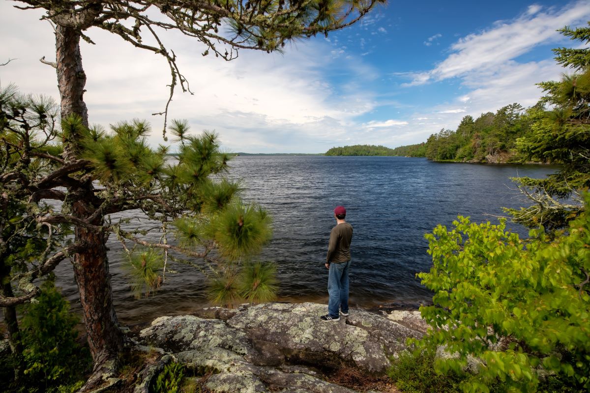
All islands are boat-in only. Please note, the islands do not have docks, natural mooring only. Islands are open for day and overnight use unless otherwise posted.
Most lakes have boat access points. Please consult Minnesota DNR public water access maps below for information about boat launching locations:
Fees
There is no permit or fee requirement to camp. All sites are first-come, first-served.
Considerations
The Lake Vermilion public islands are sensitive, unique features with cultural and natural resource values. Please do your part to protect these treasured public assets.
No trash service is provided, please pack out all debris.
Because islands are rocky with shallow soil, all human waste must be packed out.
Campfires permitted when conditions allow. Dead/down wood only, no firewood cutting.
Permanent structures, including blinds, are not to be constructed on public islands.
Please respect private property and fellow visitors by keeping noise levels down.
Islands are remote, cell coverage and emergency services may be limited, be prepared.
Poison ivy, mosquitoes, and ticks may be present, exercise caution.
Safety
Weather and lake conditions vary and can change quickly. Please be cautious, be prepared, and follow state boating safety laws and guidelines.