
Gold Butte Back Country Byway | Nevada
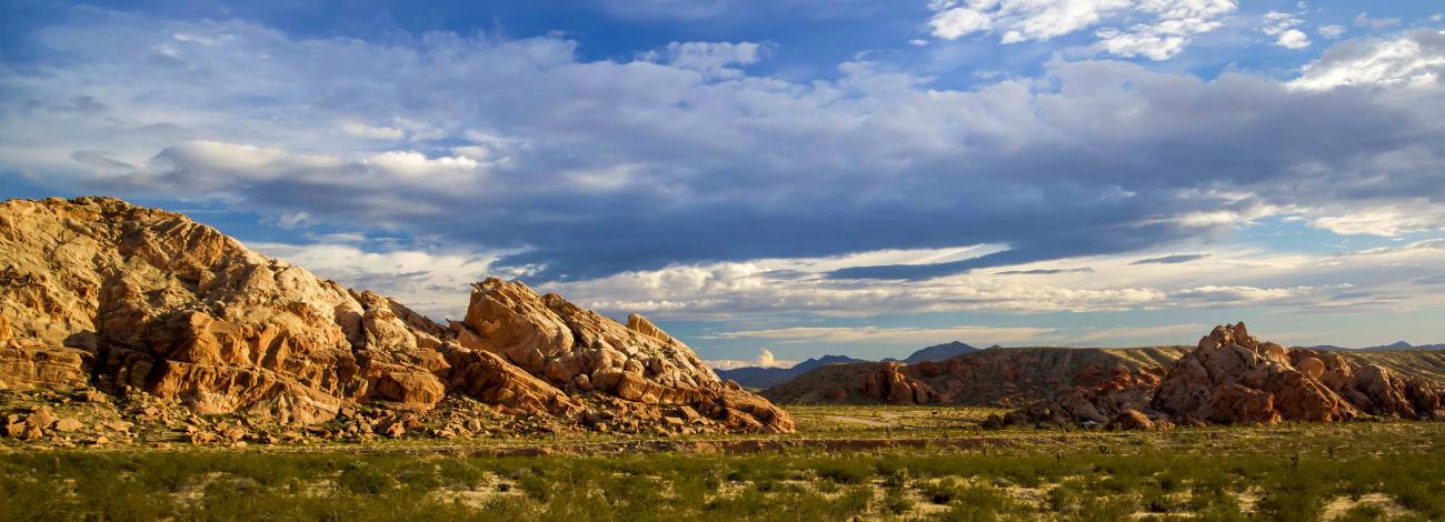
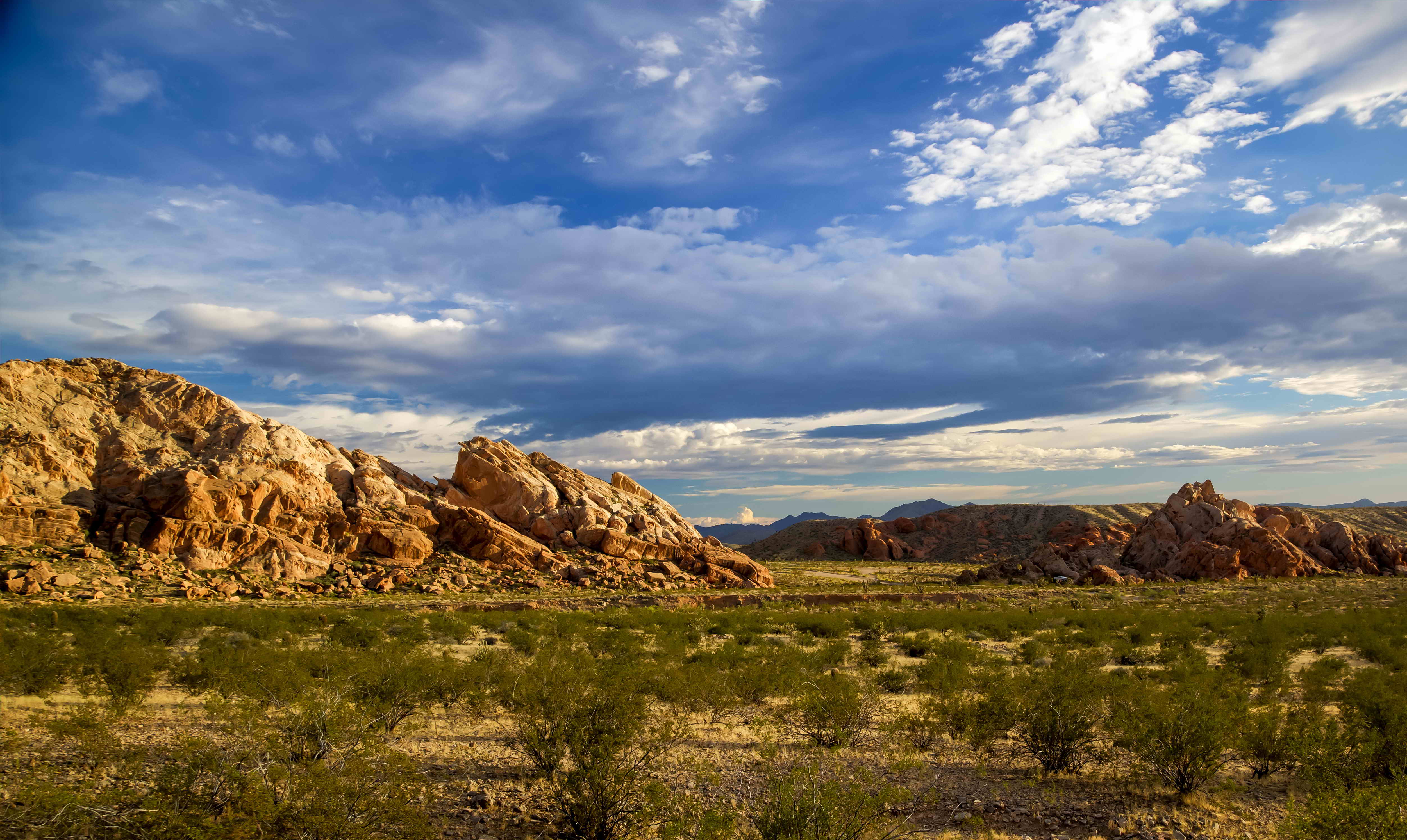
One of the first designated back country byways, the Gold Butte Back Country Byway travels through some of the most remote landscapes of southern Nevada.
The Byway begins 90 miles northeast of Las Vegas and five miles south of Mesquite/Bunkerville on Interstate 15, Exit 112. The 62-mile scenic loop is rugged and requires the use of sturdy tires and high-clearance vehicles. A drive on the Byway offers opportunities to observe desert wildlife, amazing sandstone formations, sinkholes, rock carvings, and vistas of adjacent Lake Mead and Valley of Fire. The historic mining town of Gold Butte, established in 1908, is along the route. The primary extractions from Gold Butte were copper, gold, lead, and zinc. The last 20 miles of the Byway (Gold Bute Wash Road and Mud Wash Road) should only be traveled by high-clearance vehicles. Primitive camping and hiking are available along the byway.
Along the Byway, at approximately 20 miles, you come to the Whitney Pocket area, a wall of sandstone decorated with various size pockets, shaped by millennia of water and wind erosion. As you venture further you will come across a 110-foot sinkhole called The Devil’s Throat. From here you can continue on the Byway where you may find amazing windswept rock formations, snowcapped mountains, and evidence of prehistoric and historic cultures.
Photos
Contact Us

Activities


Addresses
Directions
From Las Vegas, take Interstate 15 approximately 69 miles north. Exit 112/State Route 170 and travel south on State Route 170 for approximately 3 miles to the beginning of the Gold Butte Back Country Byway (Gold Butte Road). The Byway continues approximately 12 miles to the Gold Butte National Monument boundary. Approximately 8 miles further you will be at Whitney Pocket, where the pavement ends.
From here on out, the road is graded, native soil for approximately 20 miles to the Gold Butte Townsite where the byway loops back north on Gold Butte Wash Road (also known as Red Bluff Spring Road). From here the road is narrowed to a single lane and continues to Mud Wash. Mud Wash Road begins in a wide wash that leads to The Devil’s Throat sinkhole. Just past The Devil’s Throat, the Byway terminates on itself, at approximately mile 29 of Gold Butte Road.
Fees
No fees.