
Fort Craig Historic Site | New Mexico
Established in 1854, Fort Craig was one of the largest and most important frontier forts in the West. Set in the rugged beauty of Socorro County, NM, it was one of eight forts situated along the primary north-south road in the Rio Grande Valley. Fort Craig played a crucial role in Indian campaigns and the Civil War. Military excursions from Fort Craig pursued such notable Apache leaders as Geronimo, Victorio, and Nana. The Fort has a rich multicultural history, full of stories of courage, honor, and sacrifice. The Fort was home to Buffalo Soldiers of the 9th Cavalry and 38th and 125th Infantry, the predominantly Hispanic New Mexico Volunteers and New Mexico Militia, and household names like Kit Carson, Rafael Chacón, and Captain Jack Crawford.
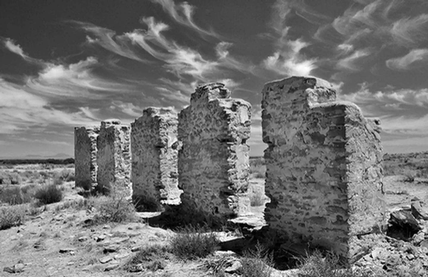
Photos
Accessibility Description (ABA/ADA)
View images of accessibility features in a new window.
A wayside with angled interpretive panels providing information about the history and geology of the site is just off the main paved road leading up to the Fort (Fort Craig Road). The wayside has 2 designated accessible parking spaces on concrete and a concrete walkway near the interpretive signs. Another sign, with information about the Fort’s amenities and hours of operation, sits on packed gravel.
From the wayside to the parking lot and visitor center for the Fort is about 4 miles. The large, packed-gravel parking lot has room for about 50 vehicles. A sidewalk around the edge of the parking lot connects the 3 concrete pads, each with 2 accessible parking spaces and a shared access aisle. One is near the visitor center (northwest), one is near the toilets (southwest), and one is near the kiosk and entrance to the accessible trail (southeast). Fort Craig has good cell phone reception.
The visitor center has a somewhat spacious floor plan with historical exhibits along the walls at a height appropriate for visitors using mobility devices. Books, maps, hats, and other items are available for purchase. A bottle-filling station is available inside the visitor center.
The accessible restroom has 2 stalls on each side with flush toilets, one a larger stall with handrails and space for mobility devices and the other a typical-size stall. Each side has a sink with running water. The door has a push-button control to open it.
A 0.3-mile accessible trail with a hardened surface leads to and around the Fort. There are several angled interpretive signs and unshaded benches without arms or backs along the trail. At the southeastern tip of the trail, a scenic overlook provides views of the Fort; however, there are several shallow steps up to the overlook, which are not wheelchair accessible.
To the right (east) of the visitor center is the main picnic area with 3 small picnic areas. Of these 2 have shade shelters and 1 is unshaded. The unshaded picnic table is not configured to allow a visitor in a wheelchair or scooter to sit at the end. The shaded picnic table next to the uncovered table has an extended end to accommodate visitors in wheelchairs, but the spacing may be a bit tight. All the tables sit on concrete and all have sidewalks that connect to the main sidewalk, which goes to the visitor center or the trail around the Fort.
Along the sidewalk between the shaded picnic structures and the visitor center are 4 raised, rectangular beds with native plant gardens. These beds sit in gravel, and it might be challenging for people using mobility devices to get next to them. However, the gardens can be seen from sidewalk.
NOTE: Descriptions and photos uploaded May 2025. Please note that actual on-the-ground conditions may vary due to natural events (e.g., weather, wildfires, erosion), normal wear and tear, or site improvements.
Know Before You Go
Fees
- None.
Facilities
- Visitor Center: Thursday - Monday, 8:00 a.m. to 4:30 p.m.
- The Visitor Center is cashless.
- Cash donations are still accepted. The area has an accessible trail, picnic facilities, interpretive signs, vault toilet restrooms, and drinking water.
Nearby Amenities
- The nearest location to acquire food, gas, and water is in San Antonio, NM, ~ 33 miles away via Old U.S. Hwy 85 and I-25 N.
Season/Hours
- Open year around.
- Self-guided interpretive trail and picnic area open 7 days a week from 8 a.m. to 1 hour before sunset.
Special Rules
- Please make sure to carry out any litter or put it in the trashcans.
- No fireworks, discharge or use of firearms, or any other weapons are allowed.
- Pets must be on a 6 ft leash.
- The gate to enter the Fort does close one hour before sunset.
Brochures, Maps, and Publications
Wildlife in Area
- Rattlesnakes
Contact Us

Activities


Addresses
Directions
Fort Craig is about 35 miles south of Socorro, NM. From the north, take I-25 to the San Marcial exit, head east over the Interstate, and south on old Highway 1 (about 11 miles). Then, follow the signs to Fort Craig. (If traveling on I-25 from the south, take exit 115.)
Fees
No.