Cow Creek Back Country Byway

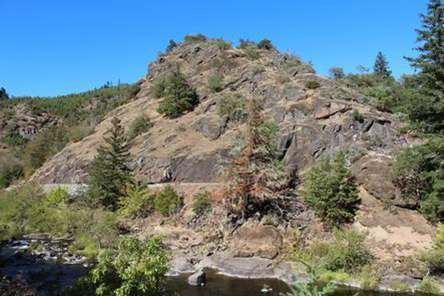
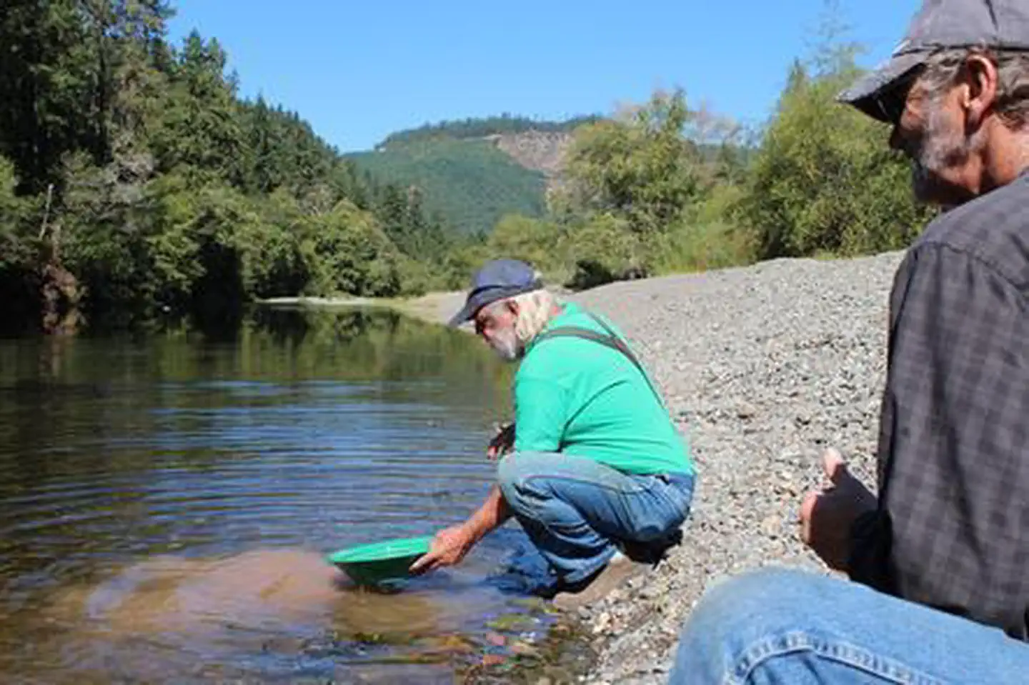
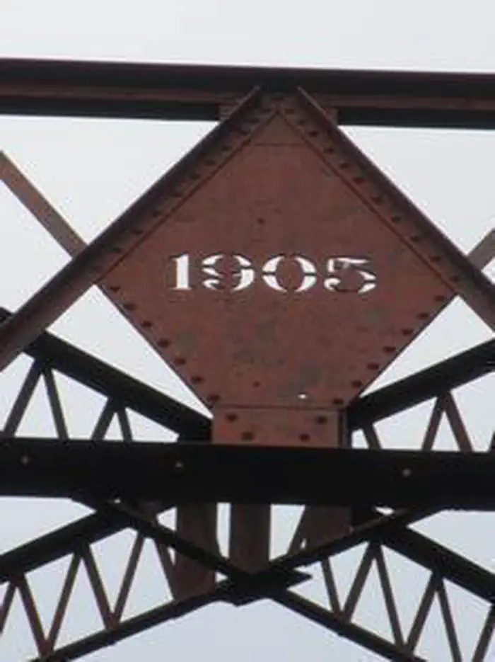
Get ready for a beautiful drive through history as you follow the winding Cow Creek Back Country Byway. The route is 45-miles long and parallels Cow Creek most of your journey. This rustic two-lane road is a great alternative to Interstate 5 and connects the towns of Riddle and Glendale. Along the byway are interpretive signs that talk about the history of the long forgotten town of West Fork, the historic railroad, and gold mining in the area. The Island Creek Day Use Area is a great stop to stretch your legs, pan for gold, or have a creek-side picnic during your drive. Skull Creek Campground is a free first-come, first served campground offering up 5 sites for weary travelers.

Know Before You Go:

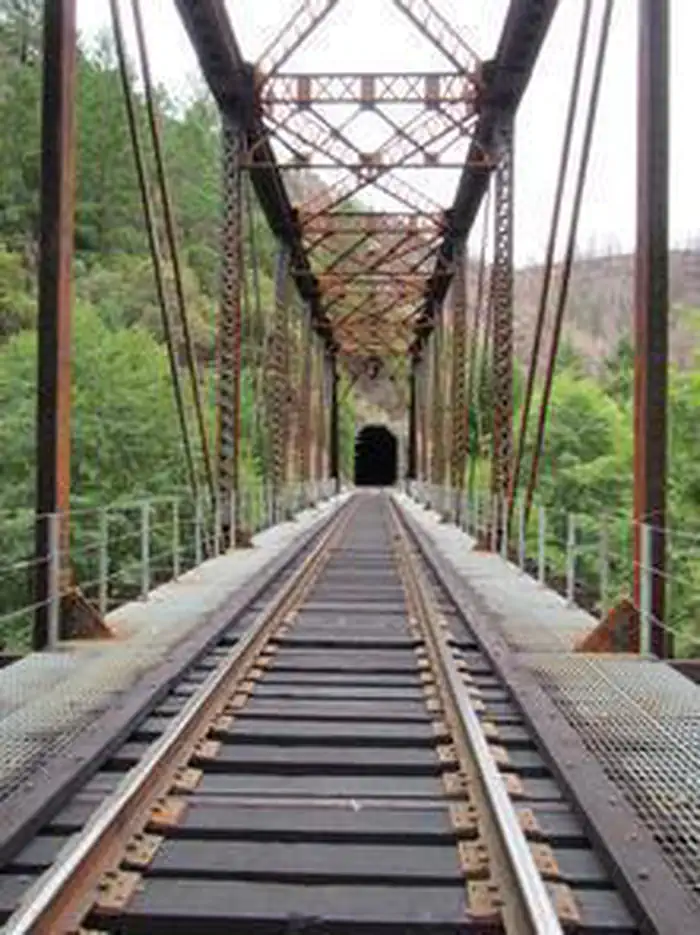
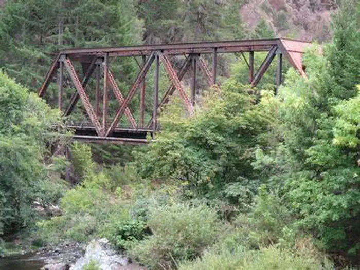
  • The railroad is still active and follows the original Oregon and California Railroad Company grade built in 1869.
  • Portions of the surrounding forest land were burned in the Douglas Complex Fire in 2013.
  • Be respectful and do not trespass on private mining claims marked along the creek.
  • Stay alert on the blind corners as logging trucks are common.

Point of Interest:

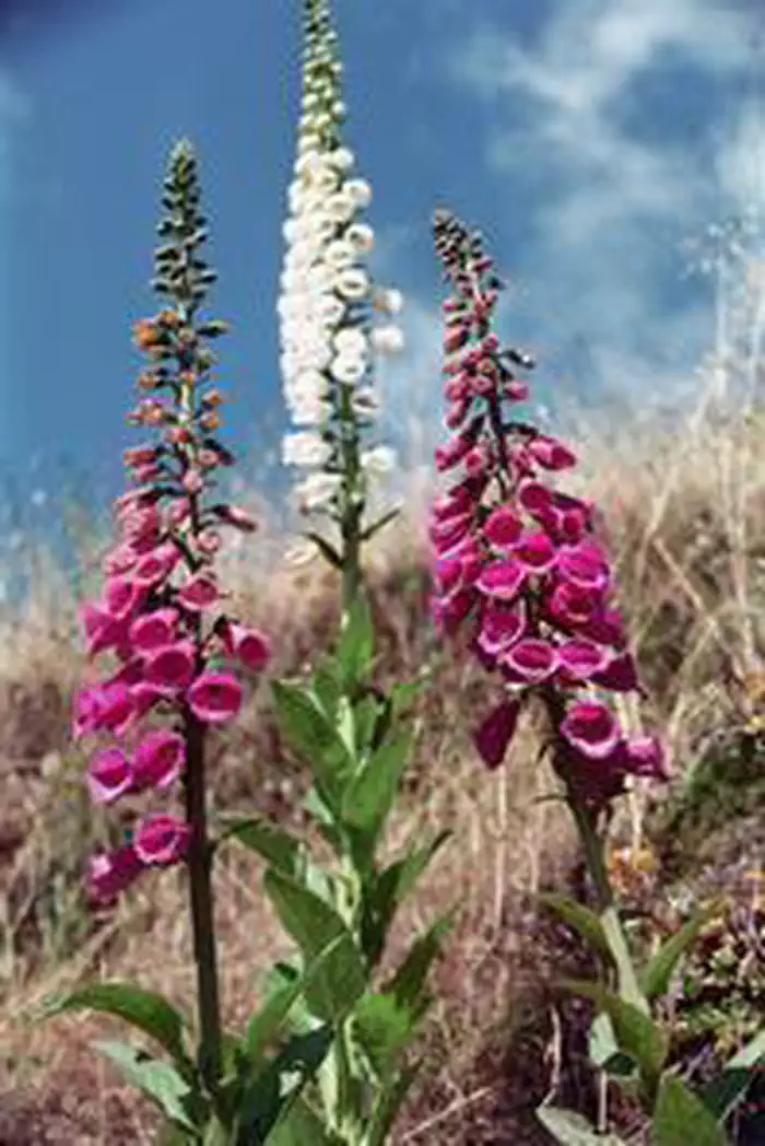
Spring is the best time to view the abundance of wildflowers. In summer, visitors can swim, fish, and pan for gold in Cow Creek. In autumn, enjoy the glorious changing foliage and the elusive salmon spawning.

Cow Creek Back Country Byway Brochure

Explore Oregon Recreation: Cow Creek Back Country ByWay

Photos

Cow Creek Bridge
Cow Creek Bridge
Cow Creek Bridge
Cow Creek Bridge
Cow Creek Bridge
Cow Creek Bridge
Cow Creek Flowers
Cow Creek Flowers
Cow Creek Gold Panning
Cow Creek
Cow Creek
Cow Creek Bridge
Cow Creek Bridge
Cow Creek Bridge
Cow Creek Bridge
Cow Creek Bridge
Cow Creek Bridge
Cow Creek Flowers
Cow Creek Flowers
Cow Creek Gold Panning
Cow Creek
Cow Creek
Cow Creek Bridge
Cow Creek Bridge
Cow Creek Bridge
Cow Creek Bridge
Cow Creek Bridge
Cow Creek Bridge
Cow Creek Flowers
Cow Creek Flowers
Cow Creek Gold Panning
Cow Creek
Cow Creek
Cow Creek Bridge
Cow Creek Bridge
Cow Creek Bridge
Cow Creek Bridge
Cow Creek Bridge
Cow Creek Bridge
Cow Creek Flowers
Cow Creek Flowers
Cow Creek Gold Panning
Cow Creek
Cow Creek
Cow Creek Bridge
Cow Creek Bridge
Cow Creek Bridge
Cow Creek Bridge
Cow Creek Bridge
Cow Creek Bridge
Cow Creek Flowers
Cow Creek Flowers
Cow Creek Gold Panning
Cow Creek
Cow Creek
Cow Creek Bridge
Cow Creek Bridge
Cow Creek Bridge
Cow Creek Bridge
Cow Creek Bridge
Cow Creek Bridge
Cow Creek Flowers
Cow Creek Flowers
Cow Creek Gold Panning
Cow Creek
Cow Creek

Adventure is at Your Fingertips

Phone

Activities

Iconograph of a bicyclist
BIKING
Iconograph of a motorboat
BOATING
Iconograph of a person wearing a backpack climbing a rock wall
CLIMBING
Iconograph of a spoked wheel and an arrowhead
HISTORIC & CULTURAL SITE
Iconograph of a tent
CAMPING
Iconography of a capital V
INTERPRETIVE PROGRAMS
Iconograph of a fish head and a fishing hook on a line
FISHING
Iconograph of two people wearing backpacks and using walking sticks
HIKING
Iconograph of a person on horseback
HORSEBACK RIDING
The letters OHV
OFF HIGHWAY VEHICLE
Iconograph of a picnic table
PICNICKING
Iconograph of a waves of water
WATER SPORTS
Iconograph of binoculars
WILDLIFE VIEWING
Iconograph of three picnic tables
DAY USE AREA
Iconograph of binoculars, a magnifying glass, and a maple leaf
ENVIRONMENTAL EDUCATION
Iconograph of a camera
PHOTOGRAPHY
Iconograph of a person paddling a kayak
PADDLING
Iconograph of a person swimming
SWIMMING

Addresses

Roseburg District Office
777 NW Garden Valley Blvd.
Roseburg
Oregon
97471

Geographic Coordinates

42.92174, -123.44667

Directions

Interstate 5 from the north, take Exit 103 (Riddle) and head west on Riddle Bypass Road, eventually turning into the Byway route. Interstate 5 from the south, take Exit 80 (Glendale) and follow county road 263 to county road 39, and finally county road 164, which becomes the Cow Creek Road.

Fees

No fees.

Stay Limit

14 Days.