
Buzzard Gulch Trail System | Colorado
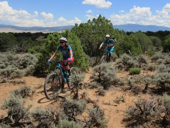
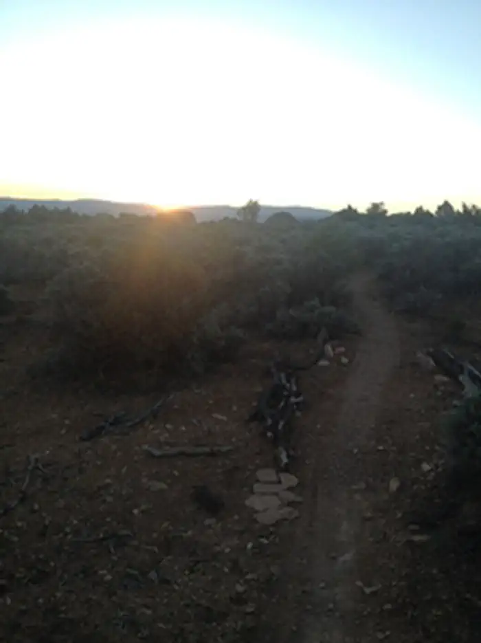
Located just west of Montrose, Colorado, the Buzzard Gulch Trail System has evolved into a wonderful renewed resource for non-motorized trail users. The landscape is classic canyon country -alternating between rocky and sandy terrain- with elevations ranging from 6,200 to 6,800 feet. Sparse pinyon, juniper, and big sagebrush offer limited opportunities for shade. While Spring Canyon Trailhead provides the best access, the trail system can also be reached from the Lower Spring Creek Trailhead along Dave Wood Road.
Designed and constructed as part of the Dry Creek Travel Management Plan implementation, the trail system is categorized as Non-Motorized Single Track, defined as routes of 36 inches wide or less intended for mechanized modes of transportation (such as mountain bikes), as well as foot and horse travel. Modest elevation changes provide a moderately easy challenge for mountain bikers. for more information, please contact the Uncompahgre Field Office.
Photos

Contact Us

Activities


Addresses
Uncompahgre Field Office
2465 South Townsend Avenue
Montrose
Colorado
81401
Directions
From Montrose, head west across the Uncompahgre River on West Main Street. Continue west up the hill as West Main becomes Spring Creek Road (Highway 90). At the top of the hill, turn left onto 6300 Road (the continuation of Highway 90). In 1.0 mile, Highway 90 makes a sharp right turn as it continues on West Oak Grove Road. In 0.4 mile, turn left onto 6250 (also known as Dave Wood) Road. In 2.5 miles, turn right onto Popular Road and then left onto Spring Canyon Road. Spring Canyon Trailhead will be on your left.
Stay Limit
Day Use