
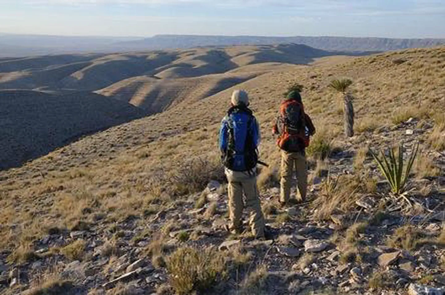
Brokeoff Mountains Wilderness Study Area | New Mexico
The Brokeoff Mountains WSA is located in southern New Mexico, contiguous with the Guadalupe Mountains Wilderness in Texas. The WSA consists of a low dominant north-south ridge cut by two canyons that run 500 feet deep. Elk winter in the WSA and cliffs, ledges, and rock outcrops provide suitable nesting and perching habitat for birds of prey. Vegetation includes Chihuahuan Desert scrub, cacti, agaves, soaptree yuccas, creosote bush, mesquite, semidesert grassland, and pines at higher elevations.
Photos
Contact Us

Activities

Addresses
Directions
From US Highway 285, take NM 137/Queens Hwy (12 miles northwest of Carlsbad, 23.5 miles south of Artesia) southwest for approximately 50 miles to El Paso Gap (about 12 miles past Queen, NM). Turn north onto Dell City Road, which becomes County Rd G14, and drive about 6ј miles to County Road G17, and turn left. Drive for about 5 miles on G17 (passing structures and beginning to climb uphill after 2ј miles) to County Road G13 and turn south. Drive south for ј mile where G13 becomes the WSA border for ѕ of a mile; the WSA will be on your right (to the west). Note: Signs in this area may be missing. Experience and skill in navigation are necessary to reach this WSA.