
Antelope Wilderness Study Area | New Mexico
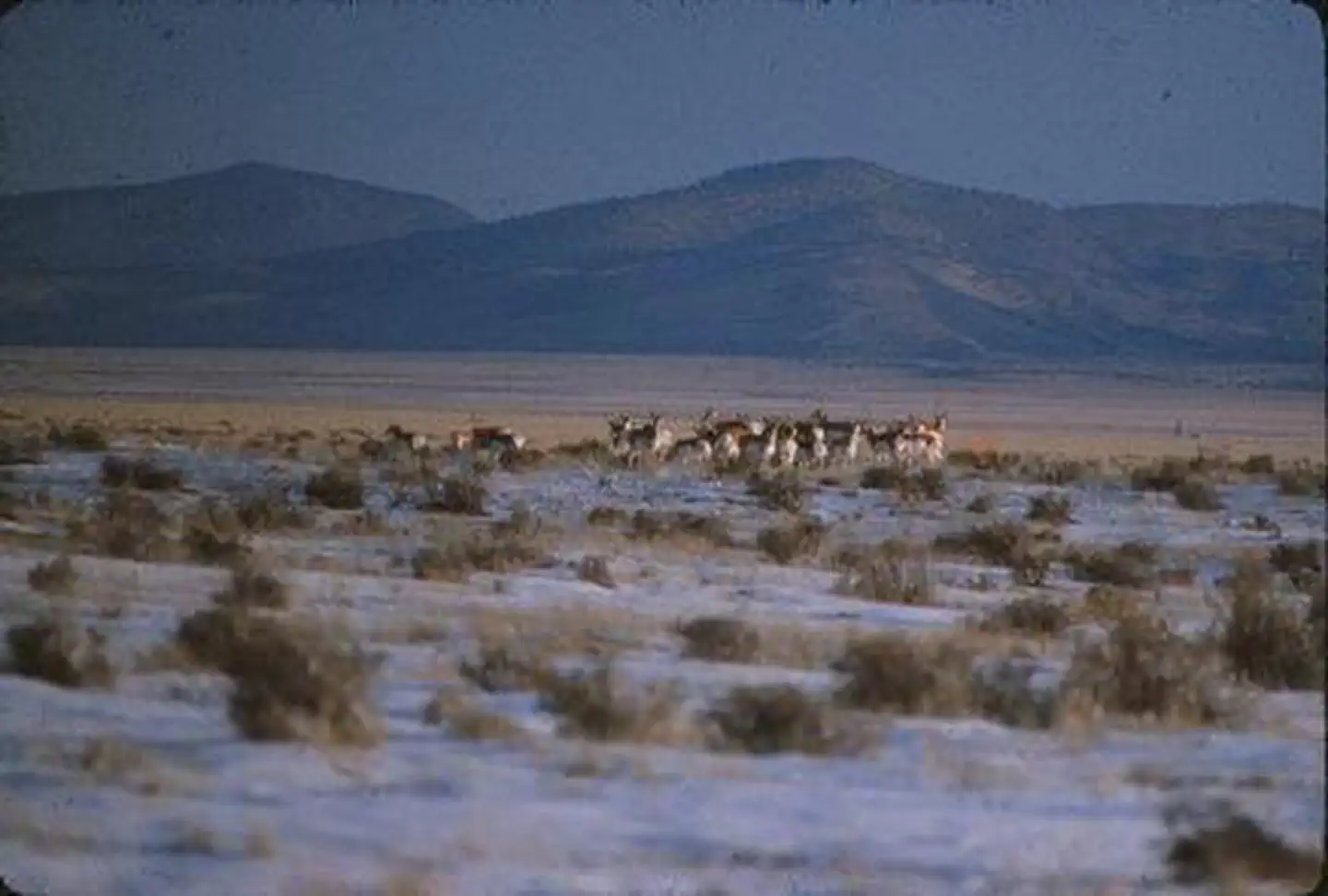
The Antelope WSA is an open landscape that provides 360-degree views of rolling desert prairie. It is adjacent to the San Pasqual Wilderness, which is managed by the U.S. Fish and Wildlife Service. This area is home to both antelope and mule deer and boasts a mix of broom dalea and sand sage. The vegetation provides ideal raptor-feeding habitat.
Photos
Contact Us

Activities


Addresses
Directions
From Hwy 380, 7 miles east of I-25, turn right on County road 153 / Fite Ranch Rd (just after crossing an arroyo .2 miles past the end of the guardrail). Drive about 1.25 miles southwest on 153, then turn left (passing County Rd 158 on the right) to continue on County Rd 153 for about .5 miles and veer right to continue on County Rd 153 passing intersecting routes on the left to continue another .5 miles and turn right on an unmaintained unmarked road just past a red-roofed ranch house. Drive on this road for just over .5 miles and you'll be very near the northern border of the WSA. This road continues along the western border of the WSA for several miles.