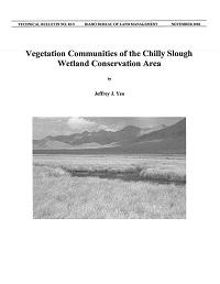
Vegetation Communities of the Chilly Slough Wetland Conservation Area

The purpose of this project was to identify and to map the distribution of plant communities within the boundaries of the CSWCA, and digitize the resultant map as a Geographic Information System (GIS) project file. The vegetation maps will become an historical record of the vegetation at the time the CSWCA was created, and as a baseline to monitor changes in the extent of plant community types over time.
