Poorman/Balm Creek
| BLM District | Vale (Oregon) | BLM Field Office | Baker |
| Congressional District | Oregon 2nd | AMLIS # | OR035800002 |
| State Office Contact | John Barber | HUC # /Subbasin | 170502030404 |
| Field Office Contact | Vern Pritchard | Specific Watershed | Balm Creek and Slide Creek |
| Location | Northeastern Oregon (T7S., R43E., Sec. 32, Willamette Meridian, Lat. 44.913588, Long. -117.478284) | ||
| Land Ownership | BLM-administered land | ||
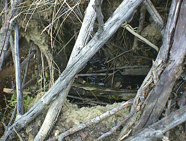
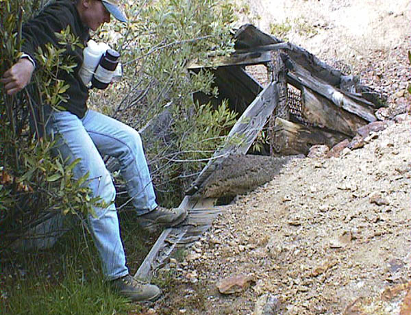
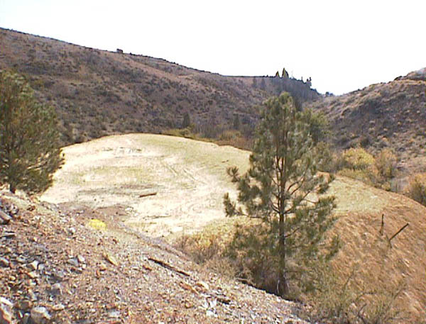
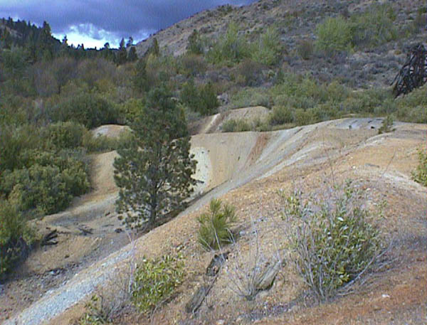
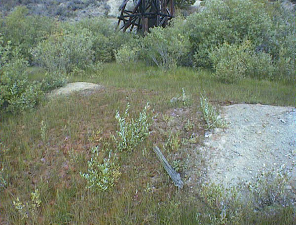
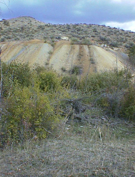
| Type of Site | Copper Mine—Underground workings w/shafts (head frame), adits, waste and tailing piles, holding pond, and processing mill site situated next to the creek. | ||
| Estimated Cost | $3,610,000 | ||
| Other Agency Links | Oregon Dept. of Environmental Quality | ||
| Google Earth | Click here for map | ||
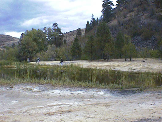
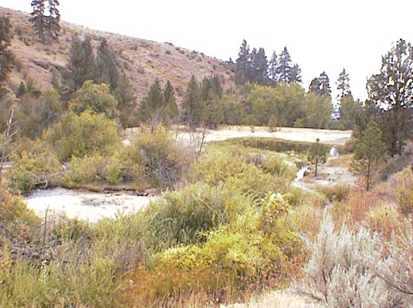
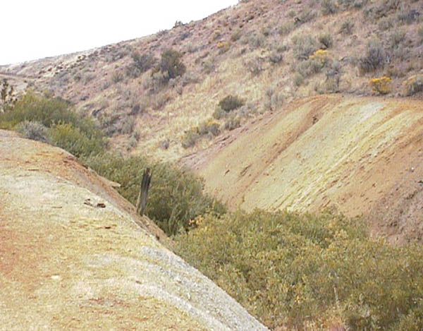
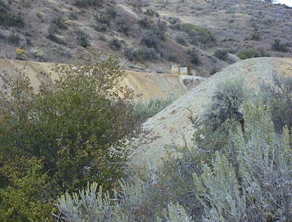
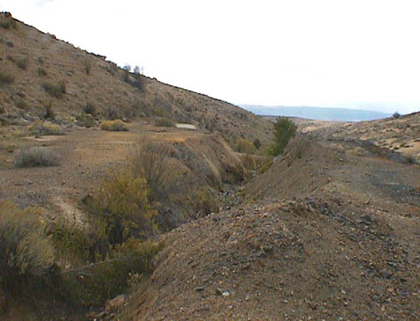
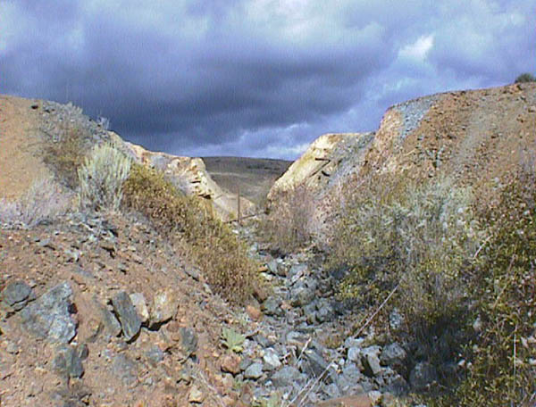
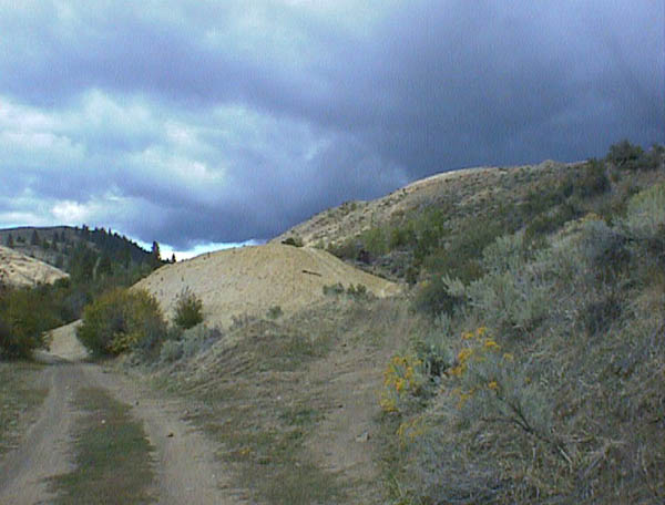
The site is a consolidation of several abandoned copper mines including; Poorman Workings, Balm Creek, Mother Lode, and Gilkeson with workings located in Balm Creek and Slide Creek portions of the Powder River watershed. Disturbance includes a shaft with head frame, collapsed adits and air shafts, millsite foundations, large processed tailings and waste rock piles, and a holding pond. All features are situated on public land located approximately 20 miles northeast of Baker, OR. Some of the workings are located within an Area of Critical Environmental Concern and Research Natural Area. The site is also in a culturally sensitive area, and BLM is working with the tribes to protect archeological values. Erosion and leaching of copper and zinc from waste piles into surface waters is affecting stream biota. Upland areas are devoid of vegetation due to low pH and high concentrations of copper and zinc. A site assessment indicated that heavy metals are present (primarily copper) in contaminated soils in the processed waste piles and holding pond.
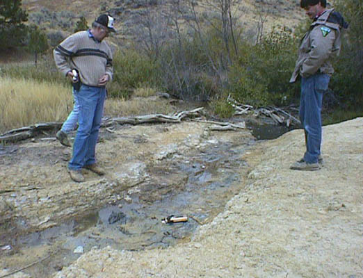
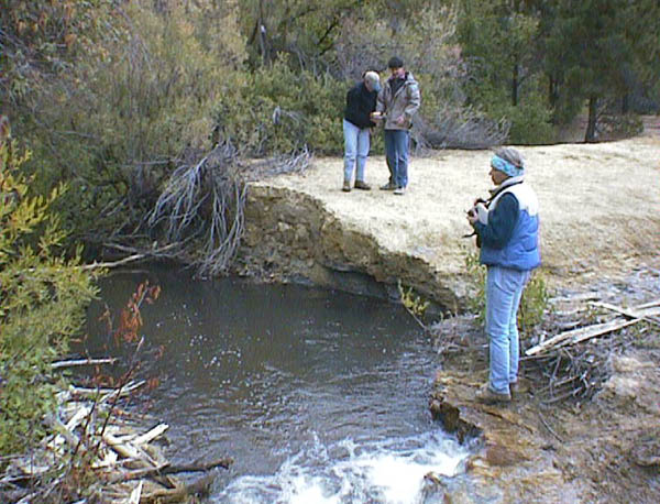
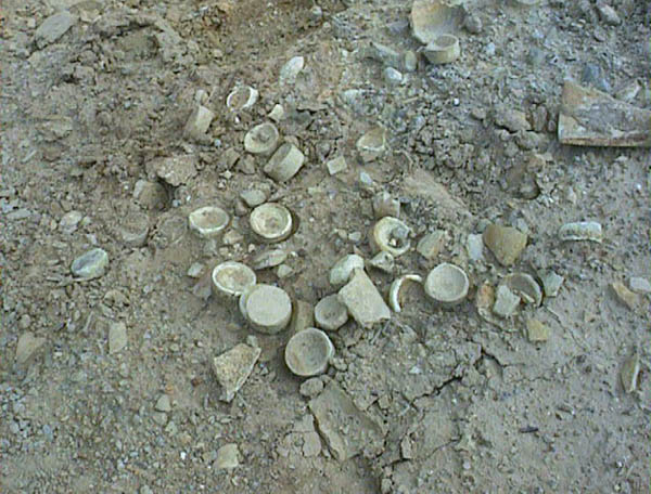
Site characterization was conducted in phases. The first work was completed in 2000 and consisted of an X-ray fluorescence spectrometer survey of the surficial metals concentrations and collection of the low-flow surface water samples. A second round of water sampling occurred during spring runoff April 18, 2001. The final sampling occurred on June 26, 2001. Samples collected had laboratory metal analyses performed. In late October 2001, a small earthen diversion structure was built above and adjacent to the lower holding pond to eliminate spring runoff and high flows from entering the holding pond. A trench was also cut through the berm on the upper holding pond to further preclude localized runoff from entering the pond. An Engineering Evaluation/Cost Analysis was conducted by the BLM in accordance with the U.S. Environmental Protection Agency document "Guidance on Conducting Non-Time Critical Removal Actions under CERCLA," and related public meetings were held in FY2002. Permanent remedial measures will include: building a repository for mine tailings and waste rock that are currently situated in the 100 year floodplain, removal of toxic materials, closures of shafts and adits, establishment of vegetation to reduce erosion, and closure of open shafts and adits. The project is supported by the Oregon Department of Environmental Quality (ODEQ), U.S. Environmental Protection Agency (EPA), and the Umatilla. Benefits will embrace elimination of physical hazards, pollution, and enhance overall improvement of the public lands. The project is currently 75 percent completed.