Bretz Mine
| BLM District | Vale (OR) | BLM Field Office | Jordan |
| Congressional District | Oregon 2nd | AMLIS # | |
| State Office Contact | John Barber | HUC # /Subbasin | 16040201 |
| Field Office Contact | Jonathan Westfall | Specific Watershed | Upper Quinn |
| Location | Malheur County, Oregon approximately 11 miles northwest of McDermott, Nevada (T41S, R41E, Sec. 3, NENW, Willamette Meridian, Lat. 42.04477, Long. -117.89645) | ||
| Land Ownership | BLM-administered land | ||
| Estimated Cost | $960,000 | ||
| Other Agency Links | Oregon Dept. of Environmental Quality | ||
| Google Earth | Click here for map | ||
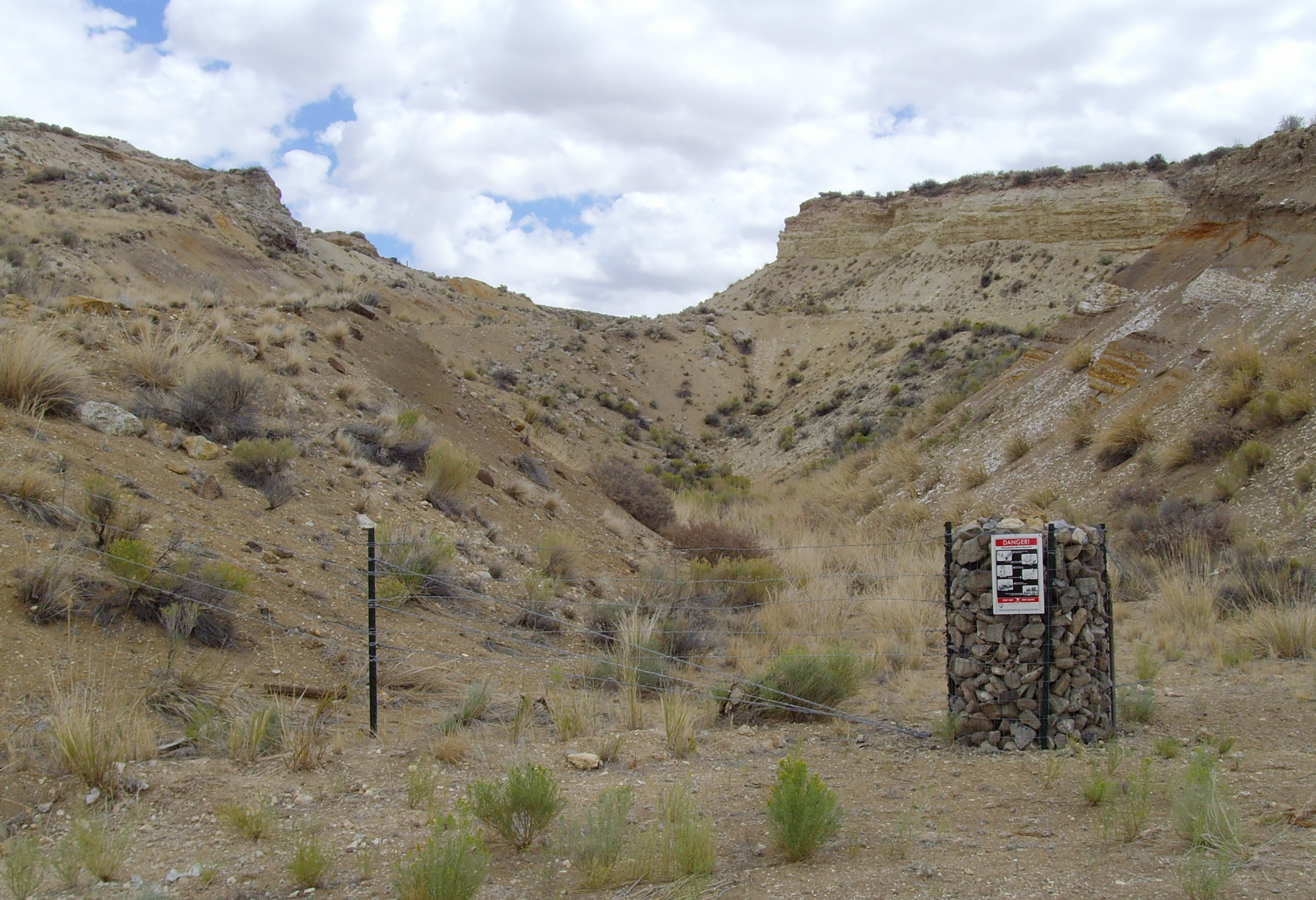
TThe former Bretz mine and mercury retort are located in BLM's Vale District in eastern Oregon. The site (approximately 15 acres) has both physical and environmental issues, and is located in an area popular with OHV and rock-hounding enthusiasts. Mercury mining and processing occurred here from 1931 through 1968. Hazardous physical conditions and waste sources are associated with a water filled open mine pit and high walls, adit, unprotected loading chutes, ore treatment equipment and various machinery parts, dilapidated surface structures, and open underground pipe works. The intermittent Little Cottonwood Creek and two unnamed tributaries cross the site with peak flows during periods of snow melt and summer storm events. Four dikes impound the creek and contain sediments eroded from the mine waste dumps, pit walls, and processing facilities. Low pH water has collected in the open mine pit to as much as 25 feet deep. Mercury retort processing wastes contain up to 18,000 mg/kg Hg and 737 mg/kg As and are eroding into a pond with mud samples showing 613 mg/kg Hg and 361 mg/kg As.
Remediation will include removal of all mercury retort wastes and four inches or more of soil from the site and their permanent deposition in an authorized hazardous waste disposal facility. An engineer evaluation and cost analysis (EE/CA) are in progress. In 2007, a perimeter fence with warning signs was installed to exclude ingress to physical and chemically hazardous areas. The height of the East pit wall was reduced in 2008 and 2009, and the area was re-vegetated. Monitoring of the re-vegetation effort occurred in 2010 indicated moderate success. Benefits from this project will embrace restoration and maintenance of the health of the land by reducing or eliminating the release of metals originating at the Bretz Mine to surface waters, as well as the potential for impacts to fish, wildlife, and humans from inhalation, ingestion, or direct contact with contaminated wastes.
 |
East Pit Before Recontouring | 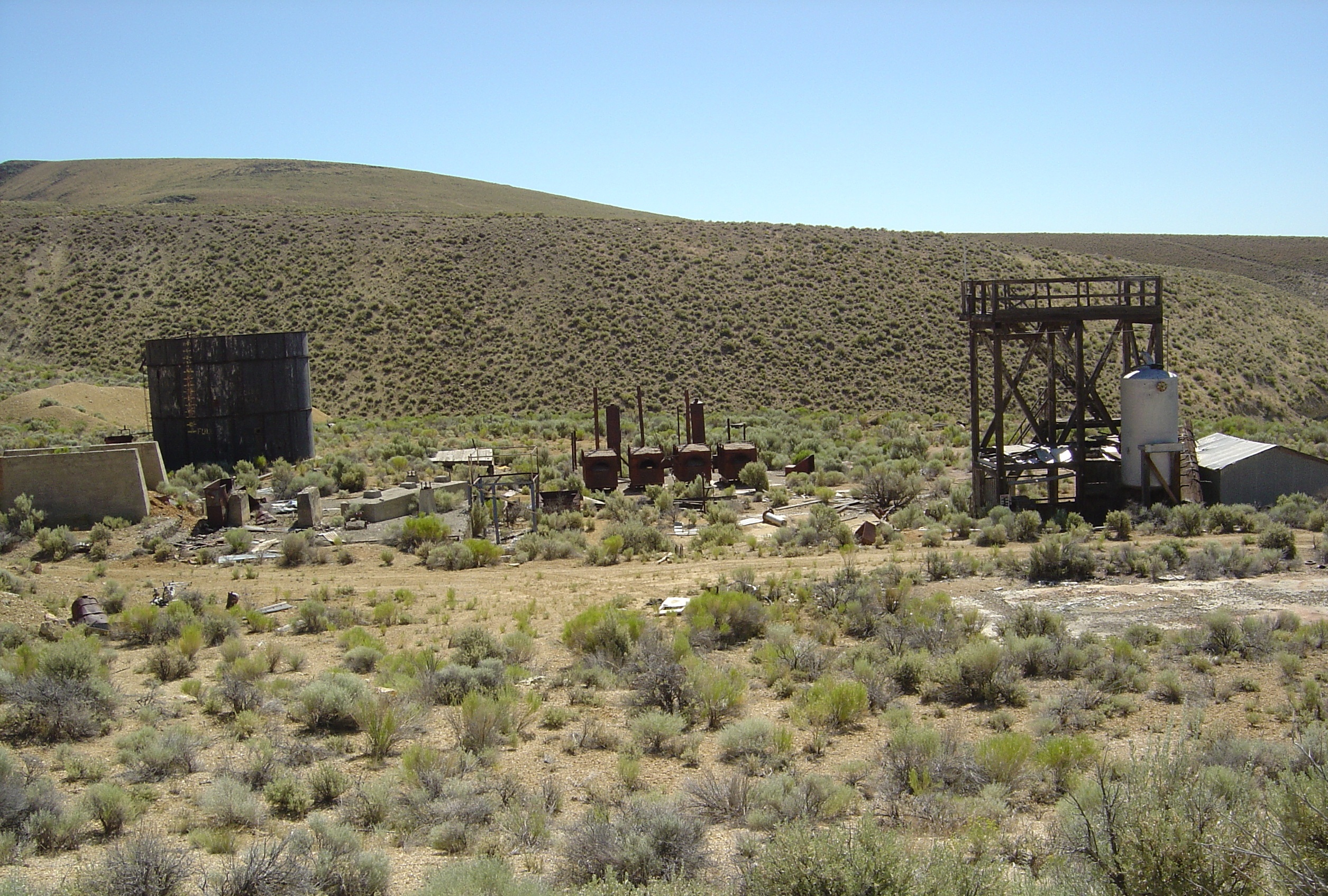 |
Remains of Retort Process Area |
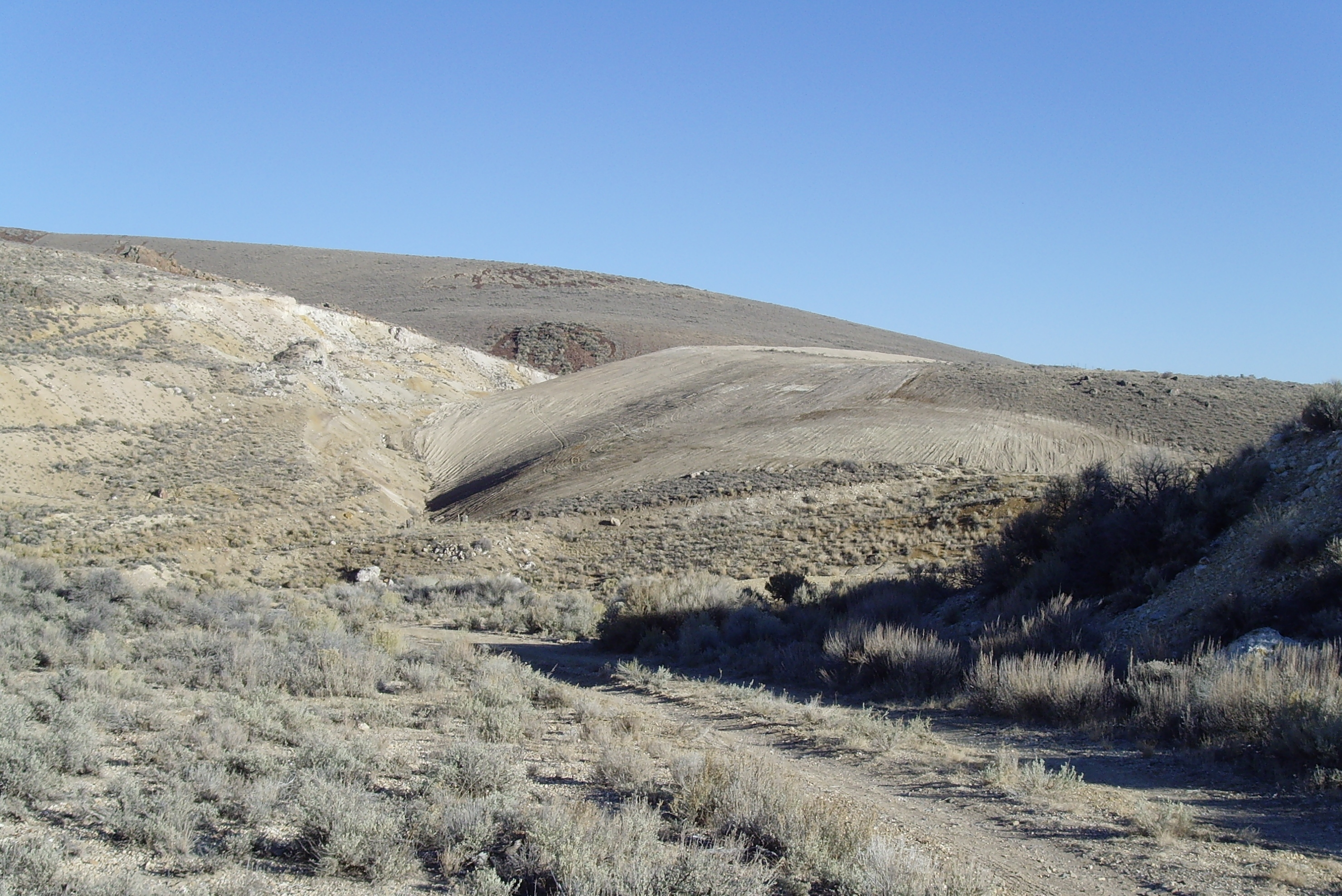 |
East Pit After Slopes Recontoured on Left | 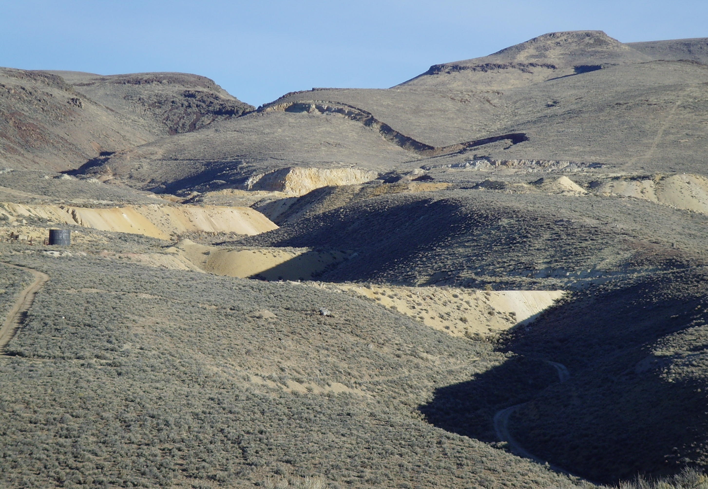 |
Overview of Mined Area Toward the North |