
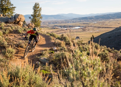
Hartman Rocks Recreation Area
Remember your OUTDOOR ETHICS when enjoying your public lands. Please RECREATE RESPONSIBLY.
Overview
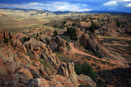
Hartman Rocks Recreation Area includes over 14,000 acres of public land managed by the Bureau of Land Management and 160 acres (The Base Area) owned and managed by The City of Gunnison, and Gunnison County.
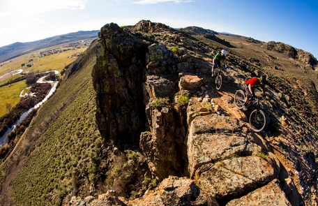
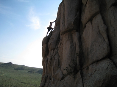
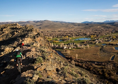
Hartman Rocks has 45 miles of singletrack trail, 45 miles of roads, 50 designated dispersed campsites, and countless climbing crags. Singletrack trails are perfect for mountain biking, dirt biking, hiking, and trail running. Roads are often traveled by 4x4 trucks, ROVs and ATVs. In the winter months, 16 miles of roads are groomed as cross-country ski trails for classic and skate skiing; and some single-track trails are groomed as winter singletrack for fat biking.
For more information, please contact the Gunnison Field Office.
Know Before You Go
Camping
- There are 50 dry/primitive campsites available.
- All sites are first come, first serve. No fees.
- No hookups!
- No potable water or developed facilities.
Need a Map?
- Hartman Rocks Recreation Area Map - Climbing, Bouldering, and Rock Climbing Areas
- Hartman Rocks Trail Map
Helpful Links
- Visit: Gunnison Field Office
Photos
Accessibility Description (ABA/ADA)

Phone
Activities
Geographic Coordinates
Directions
From Gunnison head 3 miles south on County Road 38 (Gold Basin Road). Hartman Rocks Base Area parking lot will be located on the west side of County Road 38.
A secondary entry point is located 4 miles west of Gunnison. Take State Highway 50 west for 4 miles and turn South on County Road 32. Continue south for 2 miles until you see a trail kiosk on BLM 3500.
Fees
No camping or day use fees.